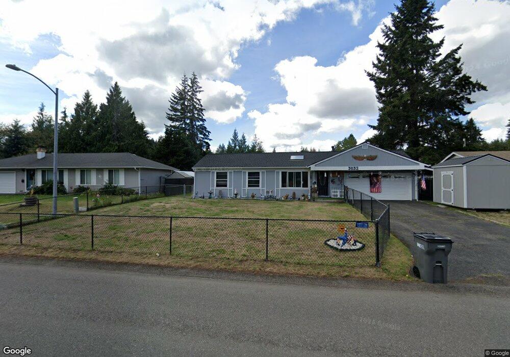
3630 Branson Dr SE Port Orchard, WA 98366
East Port Orchard NeighborhoodEstimated Value: $401,766 - $433,000
3
Beds
1
Bath
884
Sq Ft
$471/Sq Ft
Est. Value
About This Home
This home is located at 3630 Branson Dr SE, Port Orchard, WA 98366 and is currently estimated at $416,442, approximately $471 per square foot. 3630 Branson Dr SE is a home located in Kitsap County with nearby schools including East Port Orchard Elementary School, Marcus Whitman Middle School, and South Kitsap High School.
Ownership History
Date
Name
Owned For
Owner Type
Purchase Details
Closed on
May 9, 2010
Sold by
Walls Lorrie A
Bought by
Walls Edward D
Current Estimated Value
Purchase Details
Closed on
Apr 23, 1997
Sold by
Newson Joseph S and Newson Susan L
Bought by
Walls Edward D and Walls Lorrie A
Home Financials for this Owner
Home Financials are based on the most recent Mortgage that was taken out on this home.
Original Mortgage
$93,840
Interest Rate
7.96%
Mortgage Type
VA
Create a Home Valuation Report for This Property
The Home Valuation Report is an in-depth analysis detailing your home's value as well as a comparison with similar homes in the area
Home Values in the Area
Average Home Value in this Area
Purchase History
| Date | Buyer | Sale Price | Title Company |
|---|---|---|---|
| Walls Edward D | -- | None Available | |
| Walls Edward D | $92,000 | Transnation Title Insurance |
Source: Public Records
Mortgage History
| Date | Status | Borrower | Loan Amount |
|---|---|---|---|
| Previous Owner | Walls Edward D | $93,840 |
Source: Public Records
Tax History Compared to Growth
Tax History
| Year | Tax Paid | Tax Assessment Tax Assessment Total Assessment is a certain percentage of the fair market value that is determined by local assessors to be the total taxable value of land and additions on the property. | Land | Improvement |
|---|---|---|---|---|
| 2026 | $2,664 | $316,800 | $72,670 | $244,130 |
| 2025 | $2,664 | $297,600 | $62,350 | $235,250 |
| 2024 | $2,584 | $297,600 | $62,350 | $235,250 |
| 2023 | $2,566 | $297,600 | $62,350 | $235,250 |
| 2022 | $2,541 | $247,180 | $58,230 | $188,950 |
| 2021 | $2,151 | $196,820 | $54,110 | $142,710 |
| 2020 | $2,117 | $188,300 | $51,530 | $136,770 |
| 2019 | $1,648 | $159,290 | $51,100 | $108,190 |
| 2018 | $1,751 | $133,800 | $51,100 | $82,700 |
| 2017 | $1,522 | $133,800 | $51,100 | $82,700 |
| 2016 | $1,514 | $121,990 | $51,100 | $70,890 |
| 2015 | $1,470 | $120,120 | $51,100 | $69,020 |
| 2014 | -- | $118,250 | $51,100 | $67,150 |
| 2013 | -- | $120,580 | $53,790 | $66,790 |
Source: Public Records
Map
Nearby Homes
- 2948 SE Alson Ct
- 2315 SE Kelby Cir
- 3131 SE Berger Ln
- 2225 SE Kelby Cir
- 2360 SE Plymouth Way
- 2198 SE Galeel Ct
- 3463 Balsam Blvd SE
- 4590 Laguna Ln SE
- 3132 Harris Rd SE
- 3365 SE Carmae Dr
- 1743 SE Crawford Rd
- 0 SE Sedgwick Rd Unit NWM2362855
- 0 SE Sedgwick Rd Unit 21804061
- 0 SE Sedgwick Rd Unit NWM2332354
- 4777 Okanogan Dr SE
- 3922 Bethel Rd SE
- 2808 Pine Cone Ct SE
- 3341 SE Property Ct
- 3235 Westminster Dr SE
- 3628 Creek View Ct SE
- 3610 Branson Dr SE
- 3654 Branson Dr SE
- 2754 SE Berger Ln
- 2811 SE Arie Ct
- 3676 Branson Dr SE
- 2746 SE Berger Ln
- 2745 SE Berger Ln
- 2730 SE Berger Ln
- 2833 SE Arie Ct
- 3513 Berger Place SE
- 2738 SE Berger Ln
- 2775 SE Berger Ln
- 3698 Branson Dr SE
- 2832 SE Arie Ct
- 2759 SE Branson Ct
- 2737 SE Branson Ct
- 3705 Branson Dr SE
- 2855 SE Arie Ct
- 5209 Del Tormey Place SE