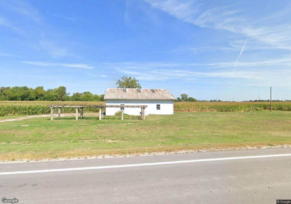
3630 Hayes Ave Fremont, OH 43420
Estimated Value: $338,000
4
Beds
1
Bath
2,096
Sq Ft
$161/Sq Ft
Est. Value
About This Home
This home is located at 3630 Hayes Ave, Fremont, OH 43420 and is currently estimated at $338,000, approximately $161 per square foot. 3630 Hayes Ave is a home located in Sandusky County with nearby schools including Fremont Ross High School, St. Ann Catholic School, and St. Joseph School.
Ownership History
Date
Name
Owned For
Owner Type
Purchase Details
Closed on
Oct 14, 2014
Sold by
Mauch Judy L and Judy L Mauch Living Trust
Bought by
Nord Family Farm Llc
Current Estimated Value
Purchase Details
Closed on
Feb 27, 2012
Sold by
Nord Janice D and Janice D Nord Revocable Trust
Bought by
Nord Family Farm Llc
Purchase Details
Closed on
Jan 1, 1994
Bought by
Nord Family Farm Llc
Purchase Details
Closed on
Jul 1, 1990
Bought by
Nord Family Farm Llc
Create a Home Valuation Report for This Property
The Home Valuation Report is an in-depth analysis detailing your home's value as well as a comparison with similar homes in the area
Home Values in the Area
Average Home Value in this Area
Purchase History
| Date | Buyer | Sale Price | Title Company |
|---|---|---|---|
| Nord Family Farm Llc | -- | First American Title | |
| Nord Family Farm Llc | -- | None Available | |
| Nord Family Farm Llc | -- | -- | |
| Nord Family Farm Llc | -- | -- |
Source: Public Records
Tax History Compared to Growth
Tax History
| Year | Tax Paid | Tax Assessment Tax Assessment Total Assessment is a certain percentage of the fair market value that is determined by local assessors to be the total taxable value of land and additions on the property. | Land | Improvement |
|---|---|---|---|---|
| 2024 | $4,078 | $105,850 | $101,960 | $3,890 |
| 2023 | $4,078 | $84,670 | $81,550 | $3,120 |
| 2022 | $3,467 | $113,260 | $88,410 | $24,850 |
| 2021 | $10,138 | $113,260 | $88,410 | $24,850 |
| 2020 | $2,962 | $110,540 | $85,440 | $25,100 |
| 2019 | $2,958 | $110,540 | $85,440 | $25,100 |
| 2018 | $2,963 | $110,540 | $85,440 | $25,100 |
| 2017 | $3,415 | $105,250 | $82,430 | $22,820 |
| 2016 | $3,018 | $105,250 | $82,430 | $22,820 |
| 2015 | $2,972 | $105,250 | $82,430 | $22,820 |
| 2014 | $1,968 | $84,430 | $68,290 | $16,140 |
| 2013 | $1,928 | $84,430 | $68,290 | $16,140 |
Source: Public Records
Map
Nearby Homes
- 17 Adams Dr
- 2484 Buckland Ave
- 2020 Elm Dr
- 0 County Road 59
- 520 Everett Rd
- 2242 Napoleon Rd
- 515 Everett Rd
- 822 Upton Rd
- 0 Ohio 590
- 614 3rd Ave
- 2119 Lake St
- 1719 Buckland Ave
- 816 Lime St
- 115 N Taft Ave
- 880 Cleveland Ave
- 1823 W State St
- 1611 Mcpherson Blvd
- 1485 Autumn Woods Dr
- 125 Austin St Unit 125
- 1342 Mcpherson Blvd
- 3619 Hayes Ave
- 3643 Hayes Ave
- 3483 Hayes Ave
- 3575 Napoleon Rd
- 3623 Napoleon Rd
- 168 County Road 130
- 190 County Road 130
- 214 County Road 130
- 3690 Napoleon Rd
- 238 County Road 130
- 286 County Road 130
- 3893 Hayes Ave
- 3626 Napoleon Rd
- 312 County Road 130
- 3762 Napoleon Rd
- 362 County Road 128
- 334 County Road 130
- 344 County Road 130
- 3903 Napoleon Rd
- 3376 Napoleon Rd