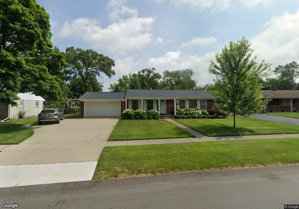
3630 Percy King Rd Waterford, MI 48329
Waterford Township NeighborhoodEstimated Value: $235,000 - $281,000
3
Beds
1
Bath
1,380
Sq Ft
$187/Sq Ft
Est. Value
About This Home
This home is located at 3630 Percy King Rd, Waterford, MI 48329 and is currently estimated at $258,046, approximately $186 per square foot. 3630 Percy King Rd is a home located in Oakland County with nearby schools including Schoolcraft Elementary School, Waterford Kettering High School, and Mason Middle School.
Ownership History
Date
Name
Owned For
Owner Type
Purchase Details
Closed on
Apr 1, 2013
Sold by
Taylor Rhonda S and Taylor Rhonda
Bought by
Taylor Rhonda and Rhonda Taylor Revocable Living Trust
Current Estimated Value
Purchase Details
Closed on
Jul 8, 1997
Sold by
Holt Chester R
Bought by
Taylor Rhonda S
Home Financials for this Owner
Home Financials are based on the most recent Mortgage that was taken out on this home.
Original Mortgage
$93,600
Outstanding Balance
$13,939
Interest Rate
7.94%
Estimated Equity
$244,107
Create a Home Valuation Report for This Property
The Home Valuation Report is an in-depth analysis detailing your home's value as well as a comparison with similar homes in the area
Home Values in the Area
Average Home Value in this Area
Purchase History
| Date | Buyer | Sale Price | Title Company |
|---|---|---|---|
| Taylor Rhonda | -- | None Available | |
| Taylor Rhonda S | $117,000 | -- |
Source: Public Records
Mortgage History
| Date | Status | Borrower | Loan Amount |
|---|---|---|---|
| Open | Taylor Rhonda S | $93,600 |
Source: Public Records
Tax History Compared to Growth
Tax History
| Year | Tax Paid | Tax Assessment Tax Assessment Total Assessment is a certain percentage of the fair market value that is determined by local assessors to be the total taxable value of land and additions on the property. | Land | Improvement |
|---|---|---|---|---|
| 2024 | $1,184 | $104,230 | $0 | $0 |
| 2023 | $1,130 | $98,460 | $0 | $0 |
| 2022 | $1,861 | $83,910 | $0 | $0 |
| 2021 | $1,763 | $78,960 | $0 | $0 |
| 2020 | $1,035 | $76,680 | $0 | $0 |
| 2019 | $1,723 | $74,310 | $0 | $0 |
| 2018 | $1,710 | $67,830 | $0 | $0 |
| 2017 | $1,577 | $67,830 | $0 | $0 |
| 2016 | $1,573 | $63,280 | $0 | $0 |
| 2015 | -- | $57,700 | $0 | $0 |
| 2014 | -- | $45,950 | $0 | $0 |
| 2011 | -- | $47,780 | $0 | $0 |
Source: Public Records
Map
Nearby Homes
- 6275 Williams Lake Rd
- 3867 Percy King Rd
- 6031 Southward Ave
- 6015 Rowley Blvd
- 6391 Rowley Blvd
- 3880 Lotus Dr
- 6376 Lanman Dr
- 6533 Cloverton Dr
- 000 Waterloo St
- 6522 Saline Dr
- 4083 Ledgestone Dr
- 3912 Cambrook Ln
- 3077 Nanwich Dr
- 4281 Marcus Rd
- 6570 Saline Dr
- 6625 Lanman Dr
- 4341 Barnard Rd
- 3229 Homestead Dr
- 5502 Rowley Blvd
- 4148 Conne Mara Ln
- 3656 Percy King Rd
- 3616 Percy King Rd
- 3672 Percy King Rd
- 3651 David K Dr
- 3602 Percy King Rd
- 3663 David K Dr
- 3639 David K Dr
- 3627 David K Dr
- 3629 Percy King Rd
- 3655 Percy King Rd
- 3675 David K Dr
- 3611 Percy King Rd
- 3671 Percy King Rd
- 3590 Percy King Rd
- 3615 David K Dr
- 6225 Waking Ln
- 6239 Waking Ln
- 6253 Waking Ln
- 3587 Percy King Rd
- 3685 Percy King Rd