36301 River Point Dr Astoria, OR 97103
River Point NeighborhoodEstimated Value: $683,389 - $786,000
4
Beds
3
Baths
2,136
Sq Ft
$351/Sq Ft
Est. Value
About This Home
This home is located at 36301 River Point Dr, Astoria, OR 97103 and is currently estimated at $749,097, approximately $350 per square foot. 36301 River Point Dr is a home located in Clatsop County with nearby schools including Astor Elementary School, Lewis & Clark Elementary School, and Astoria Middle School.
Ownership History
Date
Name
Owned For
Owner Type
Purchase Details
Closed on
Aug 13, 2015
Sold by
Altheide Jon L and Altheide Helen L
Bought by
Nasstrom Douglas and Nasstrom Karson
Current Estimated Value
Home Financials for this Owner
Home Financials are based on the most recent Mortgage that was taken out on this home.
Original Mortgage
$284,000
Outstanding Balance
$217,585
Interest Rate
3.37%
Mortgage Type
Adjustable Rate Mortgage/ARM
Estimated Equity
$531,512
Create a Home Valuation Report for This Property
The Home Valuation Report is an in-depth analysis detailing your home's value as well as a comparison with similar homes in the area
Home Values in the Area
Average Home Value in this Area
Purchase History
| Date | Buyer | Sale Price | Title Company |
|---|---|---|---|
| Nasstrom Douglas | $355,000 | Ticor Title Ins Co |
Source: Public Records
Mortgage History
| Date | Status | Borrower | Loan Amount |
|---|---|---|---|
| Open | Nasstrom Douglas | $284,000 |
Source: Public Records
Tax History Compared to Growth
Tax History
| Year | Tax Paid | Tax Assessment Tax Assessment Total Assessment is a certain percentage of the fair market value that is determined by local assessors to be the total taxable value of land and additions on the property. | Land | Improvement |
|---|---|---|---|---|
| 2025 | $4,551 | $328,356 | -- | -- |
| 2024 | $4,430 | $318,794 | -- | -- |
| 2023 | $4,273 | $309,510 | $0 | $0 |
| 2022 | $4,156 | $300,496 | $0 | $0 |
| 2021 | $4,045 | $291,745 | $0 | $0 |
| 2020 | $3,931 | $283,248 | $0 | $0 |
| 2019 | $3,813 | $274,999 | $0 | $0 |
| 2018 | $3,429 | $266,990 | $0 | $0 |
| 2017 | $3,264 | $259,214 | $0 | $0 |
| 2016 | $3,098 | $251,665 | $59,678 | $191,987 |
| 2015 | $3,051 | $244,336 | $57,940 | $186,396 |
| 2014 | $3,010 | $237,220 | $0 | $0 |
| 2013 | -- | $230,312 | $0 | $0 |
Source: Public Records
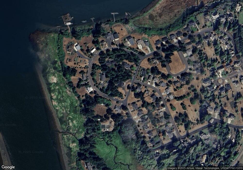
Map
Nearby Homes
- 36655 King Kong Ln
- 36629 King Kong Ln
- 35579 Bella Ridge Loop
- Lot 36 Bella Ridge Loop
- 16 Bella Ridge Loop
- 0 Wireless Rd
- 92187 Lewis & Clark Rd
- 92187 Lewis And Clark Rd
- 0 Adj To 2314 Se 1st
- 2041 SE 1st St
- 0 H St Unit 25-990
- 35443 Wiley Ln
- 35539 Little Walluski Ln
- 0 S Schwab St
- 0 S Schwab St Unit 24-310
- 0 V L Adj To 91906 Lewis and Rd Unit 25-687
- 91906 Lewis And Clark Rd
- 1362 Olney Ave
- 91755 Lewis And Clark Rd
- 91755 Lewis & Clark Rd
- 92046 Hagen Dr
- 36323 River Point Dr
- 36323 Riverpoint Dr
- 36278 Bartoldus Loop
- 36275 River Point Dr
- 92045 Hagen Dr
- 36266 River Point Dr
- 36266 Riverpoint Dr
- 92038 Hagen Dr
- 36293 Bartoldus Loop
- 36293 Bartoldus Loop
- 92037 Hagen Dr
- 36263 River Point Dr
- 36258 River Point Dr
- 92022 Hagen Dr
- 36305 Bartoldus Loop
- 92031 Hagen Dr
- 36377 Bartoldus Loop
- 92012 Hagen Dr
- 36254 River Point Dr