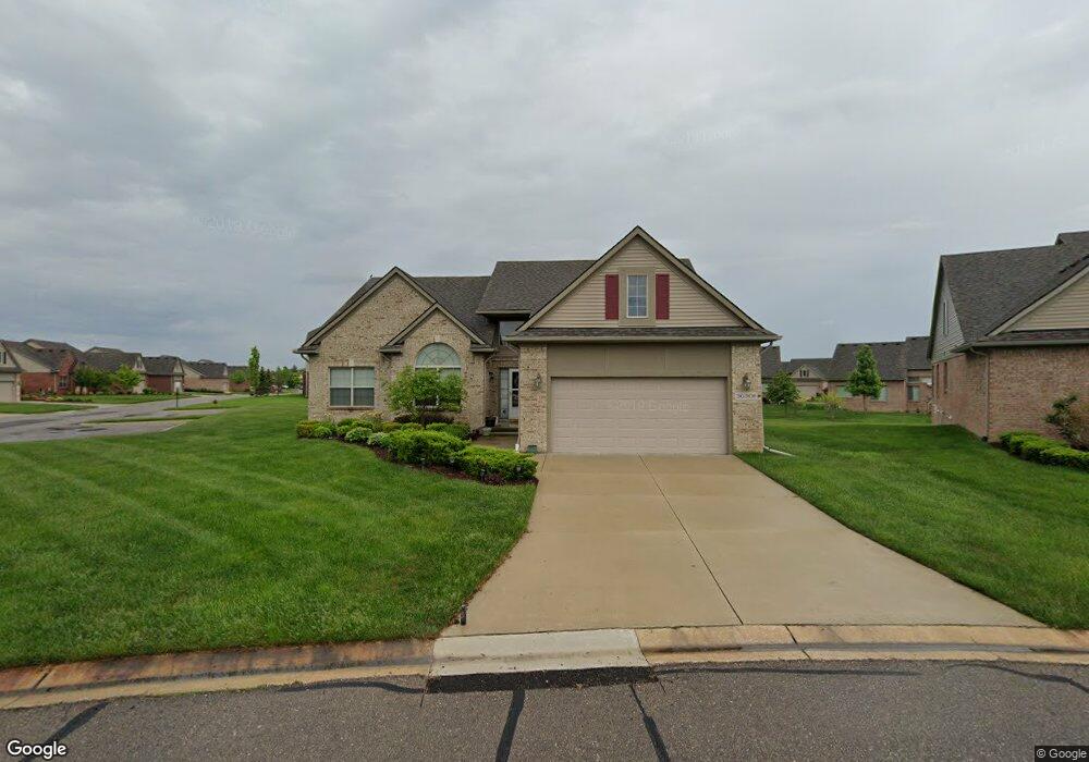
36301 St Andrews Dr Livonia, MI 48152
Estimated Value: $454,091 - $504,000
3
Beds
2
Baths
1,921
Sq Ft
$250/Sq Ft
Est. Value
About This Home
This home is located at 36301 St Andrews Dr, Livonia, MI 48152 and is currently estimated at $479,523, approximately $249 per square foot. 36301 St Andrews Dr is a home located in Wayne County with nearby schools including Webster Elementary School, Coolidge Elementary School, and Riley Upper Elementary School.
Ownership History
Date
Name
Owned For
Owner Type
Purchase Details
Closed on
Aug 20, 2024
Sold by
Richey Irene Julia
Bought by
Irene Julia Cleveland-Richey Family Revocable
Current Estimated Value
Purchase Details
Closed on
Mar 15, 2012
Sold by
Richey Irene J
Bought by
The Irene J Richey Family Trust
Purchase Details
Closed on
Dec 15, 2005
Sold by
Golf Ridge Properties Llc
Bought by
Gupta Malay Das
Create a Home Valuation Report for This Property
The Home Valuation Report is an in-depth analysis detailing your home's value as well as a comparison with similar homes in the area
Home Values in the Area
Average Home Value in this Area
Purchase History
| Date | Buyer | Sale Price | Title Company |
|---|---|---|---|
| Irene Julia Cleveland-Richey Family Revocable | -- | None Listed On Document | |
| The Irene J Richey Family Trust | -- | First Centennial Title Inc | |
| Richey Irene J | -- | First Centennial Title Inc | |
| Golf Ridge Properties Llc | -- | First Centennial Title Inc | |
| Gupta Malay Das | $399,250 | Multiple | |
| Golf Ridge Properties Llc | -- | Multiple |
Source: Public Records
Tax History Compared to Growth
Tax History
| Year | Tax Paid | Tax Assessment Tax Assessment Total Assessment is a certain percentage of the fair market value that is determined by local assessors to be the total taxable value of land and additions on the property. | Land | Improvement |
|---|---|---|---|---|
| 2025 | $3,928 | $212,500 | $0 | $0 |
| 2024 | $3,928 | $203,100 | $0 | $0 |
| 2023 | $3,747 | $191,800 | $0 | $0 |
| 2022 | $6,579 | $182,600 | $0 | $0 |
| 2021 | $6,391 | $171,700 | $0 | $0 |
| 2019 | $6,131 | $160,700 | $0 | $0 |
| 2018 | $3,168 | $157,500 | $0 | $0 |
| 2017 | $5,607 | $155,900 | $0 | $0 |
| 2016 | $5,895 | $158,100 | $0 | $0 |
| 2015 | $14,270 | $152,740 | $0 | $0 |
| 2012 | -- | $127,810 | $15,000 | $112,810 |
Source: Public Records
Map
Nearby Homes
- 64160 W 8 Mile Rd
- 37188 Chickadee Ln
- 20678 Chestnut Cir Unit 2
- 21120 Halsted Rd
- 38005 Southfarm Ln
- 37557 Newburgh Park Cir Unit 42
- 37859 Rhonswood Dr
- 20077 Gill Rd
- 19360 Newburgh Rd
- 35812 Lone Pine Ln
- 36697 7 Mile Rd
- 33855 Pondview Cir Unit 21
- 21542 Beauford Ct
- 35375 Blue Spruce Dr
- 21111 Centerfarm Ln
- 21045 Cass St
- 21423 Gill Rd
- 22416 Heathersett Crescent
- 38153 S Vista Dr
- 22075 River Ridge Trail
- 36301 Saint Andrews Dr
- 36305 St Andrews Dr
- 36128 Fairway Dr
- 36128 Fairway Dr Unit 84
- 36309 St Andrews Dr
- 36124 Fairway Dr Unit 85
- 36132 Fairway Dr
- 36310 St Andrews Dr
- 36238 Club Dr
- 36224 Club Dr
- 36120 Fairway Dr
- 36136 Fairway Dr
- 36168 Club Dr
- 36313 St Andrews Dr
- 36220 Club Dr Unit 92
- 36232 Club Dr
- 36140 Fairway Dr
- 36316 St Andrews Dr Unit 117
- 36116 Fairway Dr
- 36116 Fairway Dr Unit 89