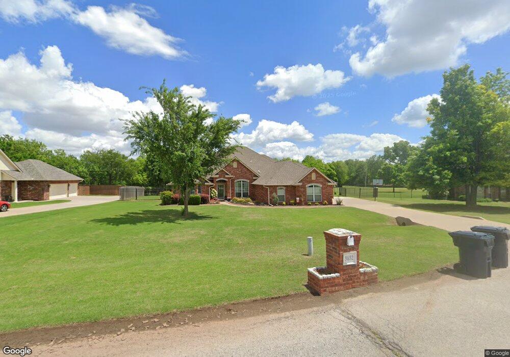
3632 Clay Dr Yukon, OK 73099
Mustang Valley NeighborhoodEstimated Value: $463,000 - $500,000
4
Beds
2
Baths
3,014
Sq Ft
$160/Sq Ft
Est. Value
About This Home
This home is located at 3632 Clay Dr, Yukon, OK 73099 and is currently estimated at $480,996, approximately $159 per square foot. 3632 Clay Dr is a home located in Canadian County with nearby schools including Mustang Valley Elementary School, Canyon Ridge Intermediate School, and Mustang North Middle School.
Ownership History
Date
Name
Owned For
Owner Type
Purchase Details
Closed on
Jul 21, 2003
Sold by
Rbsw Inc
Bought by
Kain Kevin P and Kain Julie J
Current Estimated Value
Home Financials for this Owner
Home Financials are based on the most recent Mortgage that was taken out on this home.
Original Mortgage
$233,800
Outstanding Balance
$99,250
Interest Rate
5.24%
Estimated Equity
$381,746
Purchase Details
Closed on
Jan 16, 2003
Sold by
North Fork Development Llc
Home Financials for this Owner
Home Financials are based on the most recent Mortgage that was taken out on this home.
Original Mortgage
$198,700
Interest Rate
6%
Create a Home Valuation Report for This Property
The Home Valuation Report is an in-depth analysis detailing your home's value as well as a comparison with similar homes in the area
Home Values in the Area
Average Home Value in this Area
Purchase History
| Date | Buyer | Sale Price | Title Company |
|---|---|---|---|
| Kain Kevin P | $269,000 | -- | |
| -- | $39,500 | -- |
Source: Public Records
Mortgage History
| Date | Status | Borrower | Loan Amount |
|---|---|---|---|
| Open | Kain Kevin P | $233,800 | |
| Previous Owner | -- | $198,700 |
Source: Public Records
Tax History Compared to Growth
Tax History
| Year | Tax Paid | Tax Assessment Tax Assessment Total Assessment is a certain percentage of the fair market value that is determined by local assessors to be the total taxable value of land and additions on the property. | Land | Improvement |
|---|---|---|---|---|
| 2024 | $4,715 | $43,917 | $4,615 | $39,302 |
| 2023 | $4,715 | $42,638 | $4,440 | $38,198 |
| 2022 | $4,302 | $38,425 | $4,440 | $33,985 |
| 2021 | $4,157 | $37,306 | $4,440 | $32,866 |
| 2020 | $4,074 | $36,219 | $4,440 | $31,779 |
| 2019 | $3,948 | $35,164 | $4,440 | $30,724 |
| 2018 | $3,996 | $34,950 | $4,440 | $30,510 |
| 2017 | $4,022 | $35,616 | $4,440 | $31,176 |
| 2016 | $4,083 | $37,323 | $4,440 | $32,883 |
| 2015 | $4,133 | $35,181 | $4,440 | $30,741 |
| 2014 | $4,133 | $36,396 | $4,440 | $31,956 |
Source: Public Records
Map
Nearby Homes
- 3616 Wimberley Dr
- 9804 SW 36th St
- 10013 SW 39th St
- 3912 Olivia St
- 10009 SW 39th St
- 10005 SW 39th St
- 10001 SW 39th St
- 9809 SW 33rd St
- 4105 Reese Dr
- 3213 Open Prairie Trail
- 3317 Open Prairie Trail
- 3805 Bridge Wood Ln
- 3213 Wexford Ave
- 2901 Morgan Trace
- 10065 SW 29
- 4401 Reese Dr
- 4005 Olivia St
- 4001 Olivia St
- 4009 Olivia St
- 4012 Becky Ln
- 3640 Clay Dr
- 3624 Clay Dr
- 3625 Clay Dr
- 10000 SW 36th St
- 3616 Clay Dr
- 3616 Clay Dr
- 10009 SW 36th St
- 10008 SW 36th St
- 9925 SW 36th St
- 3608 Clay Dr
- 9928 SW 36th St
- 9921 SW 36th St
- 10017 SW 36th St
- 9924 SW 36th St
- 10016 SW 36th St
- 9924 SW 35th St
- 9916 SW 35th St
- 9932 SW 35th St
- 9917 SW 36th St
- 9920 SW 36th St