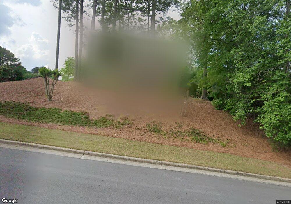
3632 Grahams Port Ln Unit 1 Snellville, GA 30039
Estimated Value: $435,919 - $486,000
3
Beds
3
Baths
2,935
Sq Ft
$158/Sq Ft
Est. Value
About This Home
This home is located at 3632 Grahams Port Ln Unit 1, Snellville, GA 30039 and is currently estimated at $463,730, approximately $158 per square foot. 3632 Grahams Port Ln Unit 1 is a home located in Gwinnett County with nearby schools including Partee Elementary School, Shiloh Middle School, and Shiloh High School.
Ownership History
Date
Name
Owned For
Owner Type
Purchase Details
Closed on
Jul 26, 2000
Sold by
Andrews Woodrow A and Andrews Robin J
Bought by
Freeman Teri G
Current Estimated Value
Home Financials for this Owner
Home Financials are based on the most recent Mortgage that was taken out on this home.
Original Mortgage
$188,100
Outstanding Balance
$65,840
Interest Rate
8.12%
Mortgage Type
New Conventional
Estimated Equity
$397,890
Create a Home Valuation Report for This Property
The Home Valuation Report is an in-depth analysis detailing your home's value as well as a comparison with similar homes in the area
Home Values in the Area
Average Home Value in this Area
Purchase History
| Date | Buyer | Sale Price | Title Company |
|---|---|---|---|
| Freeman Teri G | $209,900 | -- |
Source: Public Records
Mortgage History
| Date | Status | Borrower | Loan Amount |
|---|---|---|---|
| Open | Freeman Teri G | $188,100 |
Source: Public Records
Tax History Compared to Growth
Tax History
| Year | Tax Paid | Tax Assessment Tax Assessment Total Assessment is a certain percentage of the fair market value that is determined by local assessors to be the total taxable value of land and additions on the property. | Land | Improvement |
|---|---|---|---|---|
| 2025 | $1,297 | $183,720 | $30,000 | $153,720 |
| 2024 | $1,294 | $175,400 | $30,000 | $145,400 |
| 2023 | $1,294 | $160,000 | $36,400 | $123,600 |
| 2022 | $4,059 | $136,560 | $27,200 | $109,360 |
| 2021 | $3,570 | $110,040 | $19,200 | $90,840 |
| 2020 | $3,595 | $110,040 | $19,200 | $90,840 |
| 2019 | $3,501 | $110,040 | $19,200 | $90,840 |
| 2018 | $2,998 | $86,720 | $15,200 | $71,520 |
| 2016 | $2,556 | $69,600 | $15,200 | $54,400 |
| 2015 | $2,585 | $69,600 | $15,200 | $54,400 |
| 2014 | -- | $51,840 | $10,000 | $41,840 |
Source: Public Records
Map
Nearby Homes
- 3629 Centerville Rosebud Rd
- 3655 Centerville Rosebud Rd
- 3735 Warwick Way
- 3749 Centerville Rosebud Rd
- 3695 Warwick Way
- 3819 Maiden Fern Ln
- 3591 Eagle Landing Dr
- 3520 Spring Creek Cir
- 3677 Trillium Forest Dr
- 3585 Royal Ct
- 3655 Graycliff Rd
- 3518 Mansfield Ln
- 3458 Mansfield Ln
- 4040 Camaron Way
- 3870 Palisade Way
- 3421 Madison Ridge Trail
- 3353 Portside Ln Unit 1
- 3615 Grahams Port Dr
- 3622 Grahams Port Ln Unit 5
- 3622 Grahams Port Ln
- 3653 Grahams Port Dr
- 3645 Grahams Port Dr
- 3605 Grahams Port Dr
- 3612 Grahams Port Ln
- 3652 Grahams Port Ln
- 3610 Grahams Port Dr
- 3653 Grahams Port Ln
- 3655 Grahams Port Dr
- 3600 Grahams Port Dr
- 0 Grahams Port Dr Unit 3289365
- 0 Grahams Port Dr Unit 3157251
- 0 Grahams Port Dr Unit 8315646
- 3613 Grahams Port Ln
- 3603 Grahams Port Ln
- 3602 Grahams Port Ln
- 3650 Grahams Port Dr
- 3662 Grahams Port Ln
