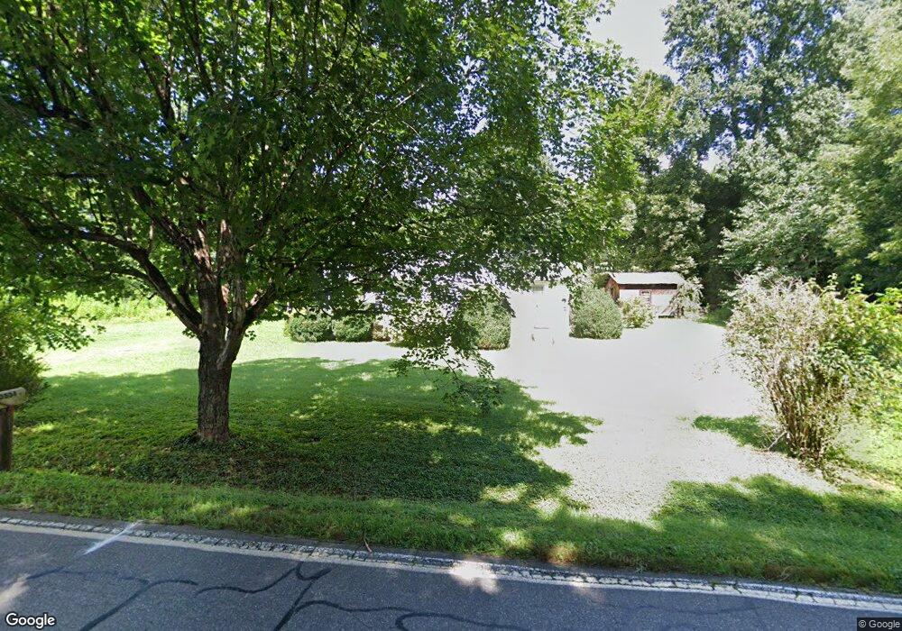
3634 Frank Whisnant Rd Morganton, NC 28655
Estimated Value: $130,000 - $216,000
3
Beds
1
Bath
1,236
Sq Ft
$139/Sq Ft
Est. Value
About This Home
This home is located at 3634 Frank Whisnant Rd, Morganton, NC 28655 and is currently estimated at $171,341, approximately $138 per square foot. 3634 Frank Whisnant Rd is a home with nearby schools including Oak Hill Elementary School, Table Rock Middle School, and Freedom High School.
Ownership History
Date
Name
Owned For
Owner Type
Purchase Details
Closed on
Feb 14, 2020
Sold by
Cook William Shawn and Cook Teresa K
Bought by
Hall Gary Dean and Hall Karen
Current Estimated Value
Purchase Details
Closed on
Jul 21, 2015
Sold by
Vanburleson Lawrence and Burleson Janie
Bought by
Aldridge Rebecca D
Home Financials for this Owner
Home Financials are based on the most recent Mortgage that was taken out on this home.
Original Mortgage
$37,000
Interest Rate
4.25%
Mortgage Type
Adjustable Rate Mortgage/ARM
Create a Home Valuation Report for This Property
The Home Valuation Report is an in-depth analysis detailing your home's value as well as a comparison with similar homes in the area
Home Values in the Area
Average Home Value in this Area
Purchase History
| Date | Buyer | Sale Price | Title Company |
|---|---|---|---|
| Hall Gary Dean | $45,000 | None Available | |
| Aldridge Rebecca D | $35,000 | Attorney |
Source: Public Records
Mortgage History
| Date | Status | Borrower | Loan Amount |
|---|---|---|---|
| Previous Owner | Aldridge Rebecca D | $37,000 |
Source: Public Records
Tax History Compared to Growth
Tax History
| Year | Tax Paid | Tax Assessment Tax Assessment Total Assessment is a certain percentage of the fair market value that is determined by local assessors to be the total taxable value of land and additions on the property. | Land | Improvement |
|---|---|---|---|---|
| 2025 | $405 | $48,260 | $11,856 | $36,404 |
| 2024 | $404 | $48,260 | $11,856 | $36,404 |
| 2023 | $403 | $48,260 | $11,856 | $36,404 |
| 2022 | $411 | $40,770 | $8,775 | $31,995 |
| 2021 | $396 | $40,770 | $8,775 | $31,995 |
| 2020 | $459 | $49,259 | $8,775 | $40,484 |
| 2019 | $459 | $49,259 | $8,775 | $40,484 |
| 2018 | $453 | $48,529 | $8,775 | $39,754 |
| 2017 | $451 | $48,529 | $8,775 | $39,754 |
| 2016 | $439 | $48,529 | $8,775 | $39,754 |
| 2015 | $436 | $48,529 | $8,775 | $39,754 |
| 2014 | $434 | $48,529 | $8,775 | $39,754 |
| 2013 | $429 | $48,529 | $8,775 | $39,754 |
Source: Public Records
Map
Nearby Homes
- 3666 Grandview Dr
- 3680 Grandview Dr
- 2556 Nc 126
- 3026 Coventry Dr
- 2937 Frank Whisnant Rd
- 2401 Nc 181
- 3620 Lake Dr
- 3494 Lake Dr Unit 17
- 3639 Lake Dr Unit 25
- 3577 Lake Dr Unit 26
- 3486 Lake Dr Unit 16
- 3375 Nc 126
- 3188 Lake Dr Unit 4
- 3076 Hunters Ridge Ct
- 2616 Carl Freeman Ave Unit 20
- 2616 Carl Freeman Ave Unit 3
- 1060 Hawksbill Dr
- 130 Hawksbill Dr Unit 47
- 1926 Timber Trace Unit 4
- 3164 Lake Dr Unit Lot 3
- 3566 Grandview Dr
- 3618 Frank Whisnant Rd
- 3654 Frank Whisnant Rd
- 3614 Frank Whisnant Rd
- 3616 Grandview Dr
- 3765 Frank Whisnant Rd
- 3760 Frank Whisnant Rd
- 3636 Grandview Dr
- 3605 Grandview Dr
- 3588 Frank Whisnant Rd
- 3770 Frank Whisnant Rd
- 3785 Frank Whisnant Rd
- 3627 Grandview Dr
- 3646 Grandview Dr
- 3572 Frank Whisnant Rd
- 3780 Frank Whisnant Rd
- 3790 Frank Whisnant Rd
- 3800 Frank Whisnant Rd
- 3546 Frank Whisnant Rd
- 3690 Grandview Dr