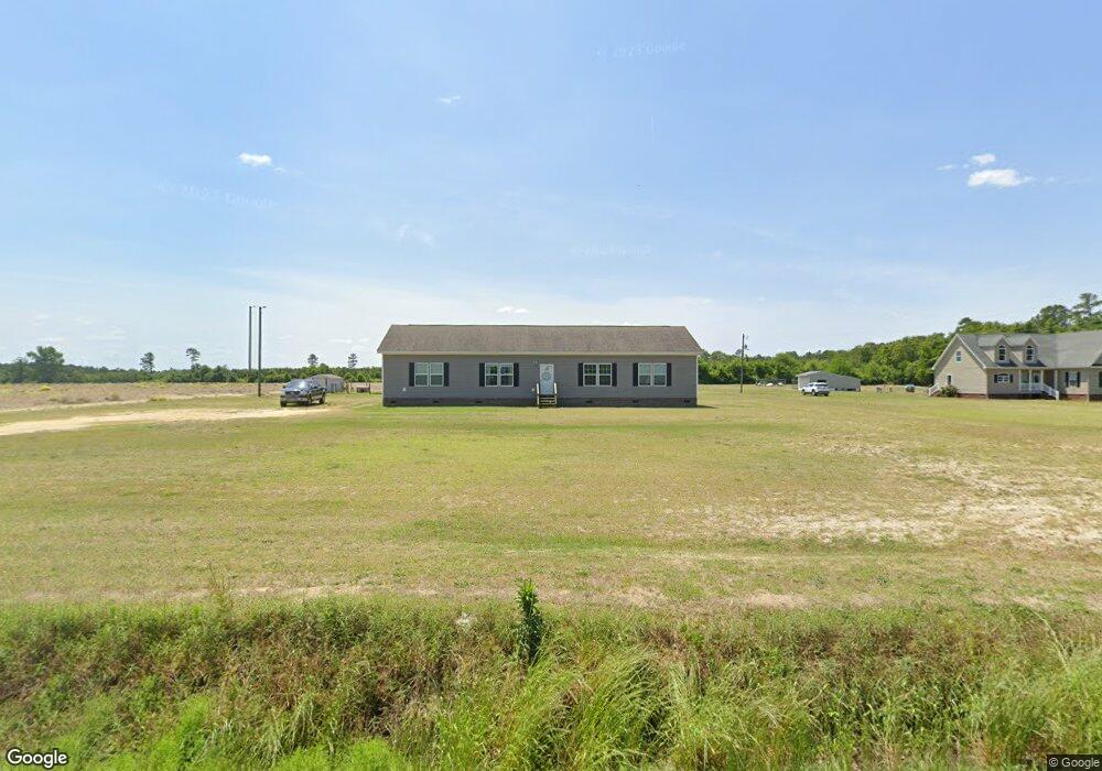
3634 Ozzie Rd Clinton, NC 28328
Estimated Value: $257,000 - $260,824
4
Beds
2
Baths
1,944
Sq Ft
$133/Sq Ft
Est. Value
About This Home
This home is located at 3634 Ozzie Rd, Clinton, NC 28328 and is currently estimated at $257,956, approximately $132 per square foot. 3634 Ozzie Rd is a home with nearby schools including Union Elementary School, Union Intermediate School, and Union Middle School.
Ownership History
Date
Name
Owned For
Owner Type
Purchase Details
Closed on
Aug 5, 2022
Sold by
Lee Ashley L
Bought by
Bdc Farming Llc
Current Estimated Value
Purchase Details
Closed on
Apr 18, 2017
Sold by
Cmh Homes Inc
Bought by
Barber Shawn L and Barber Cecilia Townsend
Home Financials for this Owner
Home Financials are based on the most recent Mortgage that was taken out on this home.
Original Mortgage
$135,060
Interest Rate
4.37%
Mortgage Type
FHA
Purchase Details
Closed on
Feb 5, 2017
Sold by
Coats Bradford and Coats Tina D
Bought by
Cmh Homes Inc
Purchase Details
Closed on
May 30, 2013
Bought by
Coats Bradford
Purchase Details
Closed on
Sep 29, 2010
Sold by
Huffman Vernon E and Huffman Cecilia T
Bought by
Strickland Russell R and Strickland Tanya G
Create a Home Valuation Report for This Property
The Home Valuation Report is an in-depth analysis detailing your home's value as well as a comparison with similar homes in the area
Home Values in the Area
Average Home Value in this Area
Purchase History
| Date | Buyer | Sale Price | Title Company |
|---|---|---|---|
| Bdc Farming Llc | -- | None Listed On Document | |
| Barber Shawn L | $138,000 | None Available | |
| Cmh Homes Inc | $5,000 | None Available | |
| Coats Bradford | $2,000 | -- | |
| Strickland Russell R | $1,500 | -- |
Source: Public Records
Mortgage History
| Date | Status | Borrower | Loan Amount |
|---|---|---|---|
| Previous Owner | Barber Shawn L | $135,060 |
Source: Public Records
Tax History Compared to Growth
Tax History
| Year | Tax Paid | Tax Assessment Tax Assessment Total Assessment is a certain percentage of the fair market value that is determined by local assessors to be the total taxable value of land and additions on the property. | Land | Improvement |
|---|---|---|---|---|
| 2025 | $1,734 | $222,264 | $14,375 | $207,889 |
| 2024 | $1,578 | $222,264 | $14,375 | $207,889 |
| 2023 | $1,287 | $139,115 | $12,500 | $126,615 |
| 2022 | $1,287 | $139,115 | $12,500 | $126,615 |
| 2021 | $1,287 | $139,115 | $12,500 | $126,615 |
| 2020 | $1,287 | $139,115 | $12,500 | $126,615 |
| 2019 | $1,287 | $139,115 | $0 | $0 |
| 2018 | $1,266 | $141,426 | $0 | $0 |
| 2017 | $67 | $7,520 | $0 | $0 |
| 2016 | $68 | $7,520 | $0 | $0 |
| 2015 | $68 | $7,520 | $0 | $0 |
| 2014 | $68 | $7,520 | $0 | $0 |
Source: Public Records
Map
Nearby Homes
- 1560 Register Sutton Rd
- 2317 River Rd
- 1539 Old Us 701 Hwy
- 75 Lisbon Bridge Rd
- 0 Hillside Ln
- 0 Kader Merritt Rd
- 00 Kader Merritt Rd
- 3001 Ebenezer Forrest Rd
- 865 Cecil Odie Rd
- 0 Waycross Rd
- 0 Reedsford Rd
- 2 Harrells Hwy
- 1 Harrells Hwy
- 8401 Boykin Bridge Rd
- Off of Reedsford Rd Unit LotWP001
- 0 Cc Unit 10030010
- 0 Cc Unit 100444780
- 479 W 5th St
- 0 N Belgrade Ave
- 0 Old Mintz Hwy