3635 Richardson Ln West Branch, MI 48661
Estimated Value: $176,284 - $246,000
--
Bed
--
Bath
--
Sq Ft
5
Acres
About This Home
This home is located at 3635 Richardson Ln, West Branch, MI 48661 and is currently estimated at $214,071. 3635 Richardson Ln is a home located in Ogemaw County with nearby schools including Surline Elementary School, Surline Middle School, and Ogemaw Heights High School.
Ownership History
Date
Name
Owned For
Owner Type
Purchase Details
Closed on
Mar 1, 2013
Sold by
Richardson Jeffrey R and Richardson Wendi M
Bought by
Messer Cory and Mills Kristina
Current Estimated Value
Home Financials for this Owner
Home Financials are based on the most recent Mortgage that was taken out on this home.
Original Mortgage
$48,800
Outstanding Balance
$22,363
Interest Rate
3.49%
Estimated Equity
$191,708
Purchase Details
Closed on
Sep 23, 1996
Bought by
Richardson Jeffrey R and Richardson Wendi M
Create a Home Valuation Report for This Property
The Home Valuation Report is an in-depth analysis detailing your home's value as well as a comparison with similar homes in the area
Home Values in the Area
Average Home Value in this Area
Purchase History
| Date | Buyer | Sale Price | Title Company |
|---|---|---|---|
| Messer Cory | $78,000 | -- | |
| Richardson Jeffrey R | -- | -- |
Source: Public Records
Mortgage History
| Date | Status | Borrower | Loan Amount |
|---|---|---|---|
| Open | Messer Cory | $48,800 |
Source: Public Records
Tax History Compared to Growth
Tax History
| Year | Tax Paid | Tax Assessment Tax Assessment Total Assessment is a certain percentage of the fair market value that is determined by local assessors to be the total taxable value of land and additions on the property. | Land | Improvement |
|---|---|---|---|---|
| 2025 | $945 | $56,200 | $0 | $0 |
| 2024 | $4 | $44,400 | $0 | $0 |
| 2023 | $349 | $36,500 | $0 | $0 |
| 2022 | $836 | $30,900 | $0 | $0 |
| 2021 | $773 | $28,800 | $0 | $0 |
| 2020 | $783 | $28,800 | $0 | $0 |
| 2019 | $728 | $27,400 | $0 | $0 |
| 2018 | $712 | $26,000 | $0 | $0 |
| 2017 | $660 | $26,200 | $0 | $0 |
| 2016 | $653 | $25,600 | $0 | $0 |
| 2015 | $651 | $25,400 | $0 | $0 |
| 2014 | $647 | $23,700 | $0 | $0 |
Source: Public Records
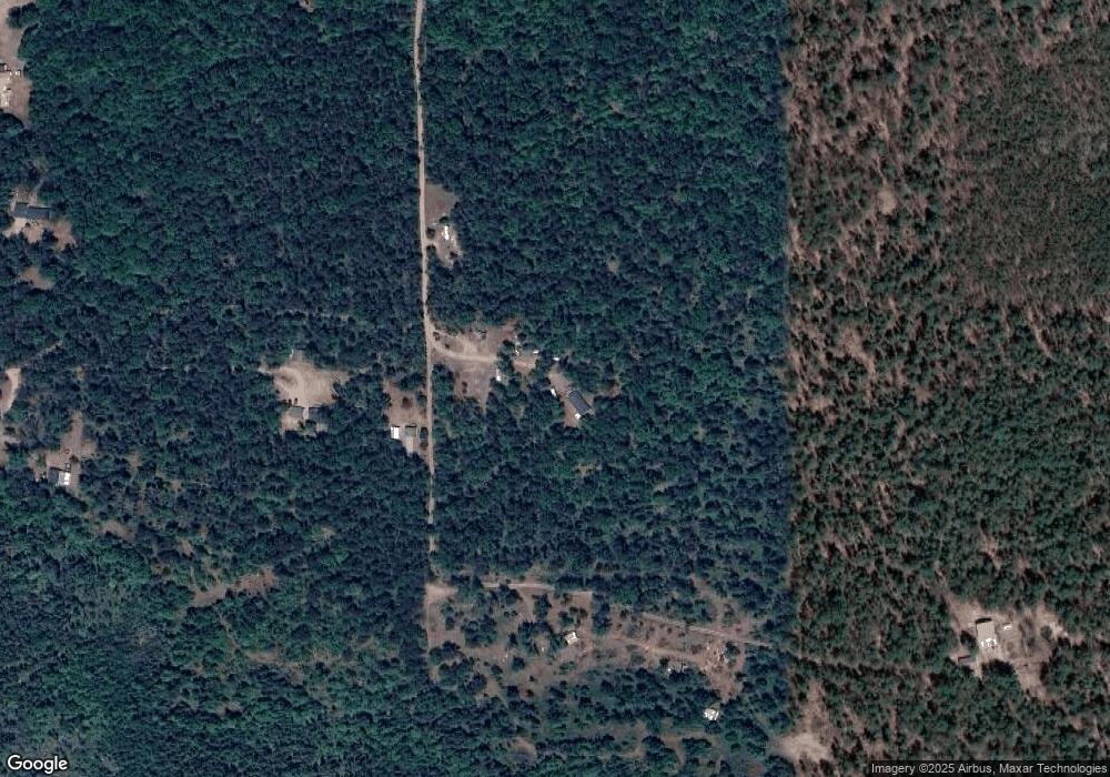
Map
Nearby Homes
- 57 E Boehm Rd
- x Oleskie Trail
- 781 Lula Ln
- 404 Barry Dr
- 2011 S Ogemaw Trail
- 4594 Timber Lane Rd
- 1872 Indianwood Trail
- 1820 N Ogemaw Trail
- 0 Whitetail Ct Unit 165
- 5347 E Greenwood Rd
- 4038 Brookview Dr E
- 00 Oak Ridge Ct
- 1532 Rabbit Track Dr
- 2030 George St
- 1125 Teddy Bear Ln
- 0 Silver Creek Dr Unit 1935433
- LOT 21-22 George St Unit 21-22
- 00_VL George St
- LOT 20 George St Unit 20
- 5235 Greenwood Rd