3636 Summit Pointe Ct Forest Grove, OR 97116
Estimated Value: $990,000 - $1,181,151
5
Beds
5
Baths
4,443
Sq Ft
$245/Sq Ft
Est. Value
About This Home
This home is located at 3636 Summit Pointe Ct, Forest Grove, OR 97116 and is currently estimated at $1,088,717, approximately $245 per square foot. 3636 Summit Pointe Ct is a home located in Washington County with nearby schools including Harvey Clarke Elementary School, Tom McCall Upper Elementary School, and Neil Armstrong Middle School.
Ownership History
Date
Name
Owned For
Owner Type
Purchase Details
Closed on
May 13, 2010
Sold by
Spectrum Home Builders Inc
Bought by
Mulcaster Kevin T and Mulcaster Amy L
Current Estimated Value
Home Financials for this Owner
Home Financials are based on the most recent Mortgage that was taken out on this home.
Original Mortgage
$700,000
Outstanding Balance
$465,334
Interest Rate
5.04%
Mortgage Type
New Conventional
Estimated Equity
$623,383
Create a Home Valuation Report for This Property
The Home Valuation Report is an in-depth analysis detailing your home's value as well as a comparison with similar homes in the area
Home Values in the Area
Average Home Value in this Area
Purchase History
| Date | Buyer | Sale Price | Title Company |
|---|---|---|---|
| Mulcaster Kevin T | $700,000 | First American |
Source: Public Records
Mortgage History
| Date | Status | Borrower | Loan Amount |
|---|---|---|---|
| Open | Mulcaster Kevin T | $700,000 |
Source: Public Records
Tax History Compared to Growth
Tax History
| Year | Tax Paid | Tax Assessment Tax Assessment Total Assessment is a certain percentage of the fair market value that is determined by local assessors to be the total taxable value of land and additions on the property. | Land | Improvement |
|---|---|---|---|---|
| 2026 | $14,121 | $792,980 | -- | -- |
| 2025 | $14,121 | $769,890 | -- | -- |
| 2024 | $13,623 | $747,470 | -- | -- |
| 2023 | $13,623 | $725,700 | $0 | $0 |
| 2022 | $11,911 | $725,700 | $0 | $0 |
| 2021 | $11,757 | $684,050 | $0 | $0 |
| 2020 | $11,693 | $664,130 | $0 | $0 |
| 2019 | $11,433 | $644,790 | $0 | $0 |
| 2018 | $11,082 | $626,010 | $0 | $0 |
| 2017 | $10,739 | $607,780 | $0 | $0 |
| 2016 | $10,437 | $590,080 | $0 | $0 |
| 2015 | $10,036 | $572,900 | $0 | $0 |
| 2014 | $9,987 | $556,220 | $0 | $0 |
Source: Public Records
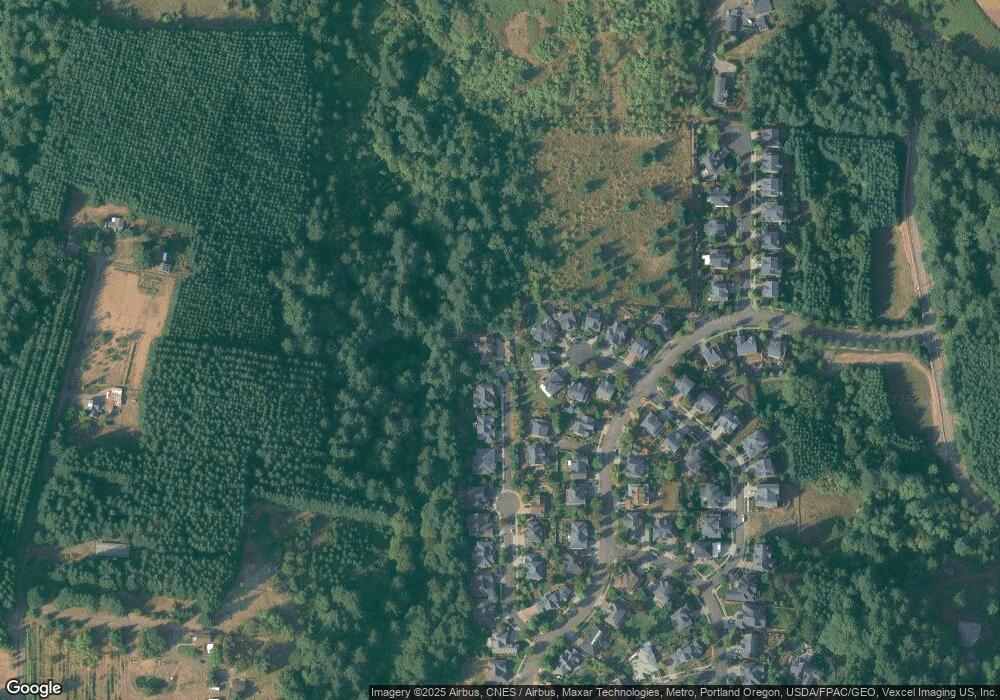
Map
Nearby Homes
- 3530 Summit Pointe Ct
- 3728 Huntsman Way
- 0 Ns Unit 279696115
- 0 David Hill Unit 20160858
- 3327 Hillcrest Way
- 45585 NW David Hill Rd
- 3296 Ridge Pointe Dr
- 45157 NW David Hill Rd
- 3251 Lavina Dr
- 44725 NW David Hill Rd
- 724 Glade Ave
- 3403 Glade Ave
- 3934 Coho Cir
- 3308 Butte Dr
- 3265 Misty Ln
- 3260 Misty Ln
- 3250 Misty Ln
- 871 Butte Dr
- 873 Butte Dr
- 3230 Misty Ln
- 3628 Summit Pointe Ct
- 3664 Hood View Dr
- 3671 Hood View Dr
- 3664 Hoodview Dr
- 3620 Summit Pointe Ct
- 3658 Hood View Dr
- 3658 Hoodview (21) Dr
- 3658 Hoodview Dr
- 3665 Hood View Dr
- 3665 Hoodview Dr
- 3614 Forest Gale Dr Unit LOT29
- 3614 Forest Gale Dr
- 3612 Summit Pointe Ct
- 3652 Hood View Dr
- 3608 Forest Gale Dr
- 3659 Hood View Dr
- 3659 Hoodview Dr
- 3608 Forest Gale Dr
- 3622 Forest Gale Dr
- 3646 Hood View Dr