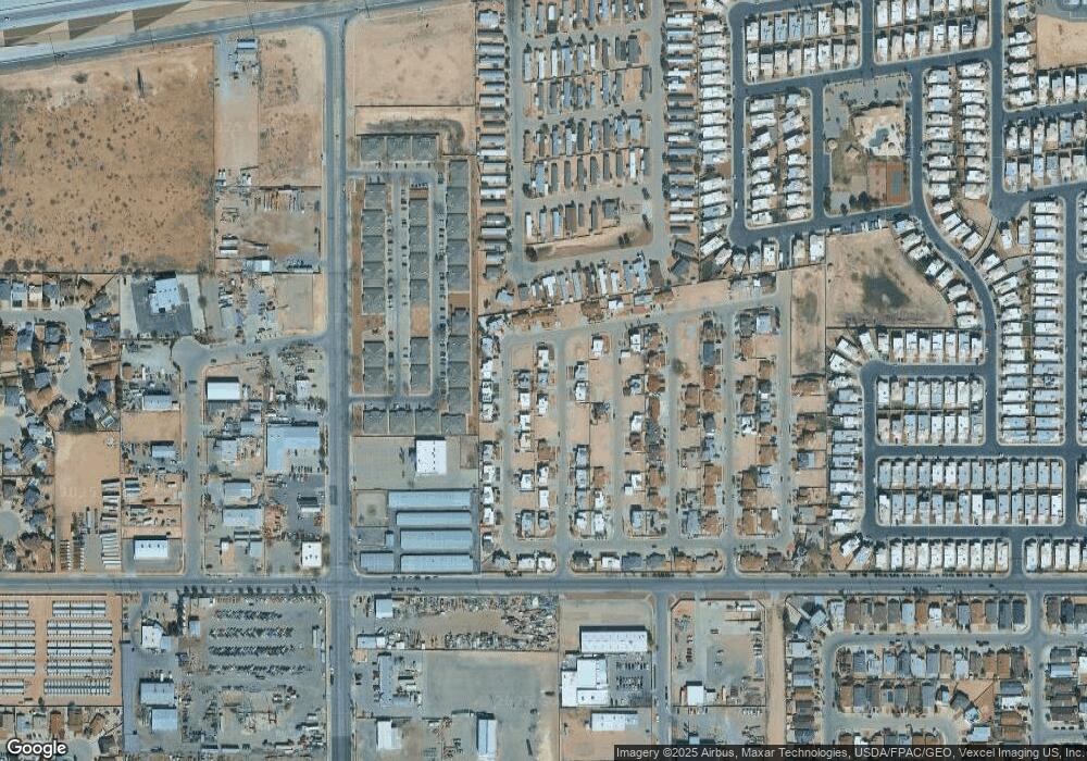
3637 Wax Palm Place Unit N/A El Paso, TX 79936
Montana West NeighborhoodEstimated Value: $170,000 - $207,000
2
Beds
2
Baths
932
Sq Ft
$196/Sq Ft
Est. Value
About This Home
This home is located at 3637 Wax Palm Place Unit N/A, El Paso, TX 79936 and is currently estimated at $183,111, approximately $196 per square foot. 3637 Wax Palm Place Unit N/A is a home located in El Paso County with nearby schools including Bill Sybert School, Montwood High School, and El Paso Adventist Jr Academy.
Ownership History
Date
Name
Owned For
Owner Type
Purchase Details
Closed on
Sep 11, 2012
Sold by
Federal Home Loan Mortgage Corporation
Bought by
Ramirez Veronica Marina and Ramirez Amelia M
Current Estimated Value
Home Financials for this Owner
Home Financials are based on the most recent Mortgage that was taken out on this home.
Original Mortgage
$73,542
Outstanding Balance
$50,720
Interest Rate
3.5%
Mortgage Type
FHA
Estimated Equity
$132,391
Purchase Details
Closed on
Mar 6, 2012
Sold by
Mercado Rosario and Paredes Ariel
Bought by
Federal Home Loan Mortgage Corp
Purchase Details
Closed on
Oct 12, 2006
Sold by
Las Palmas Phase Iii Joint Venture
Bought by
Mercado Rosario
Home Financials for this Owner
Home Financials are based on the most recent Mortgage that was taken out on this home.
Original Mortgage
$78,500
Interest Rate
6.44%
Mortgage Type
Purchase Money Mortgage
Create a Home Valuation Report for This Property
The Home Valuation Report is an in-depth analysis detailing your home's value as well as a comparison with similar homes in the area
Home Values in the Area
Average Home Value in this Area
Purchase History
| Date | Buyer | Sale Price | Title Company |
|---|---|---|---|
| Ramirez Veronica Marina | -- | First American Title Co | |
| Federal Home Loan Mortgage Corp | $60,930 | None Available | |
| Mercado Rosario | -- | None Available |
Source: Public Records
Mortgage History
| Date | Status | Borrower | Loan Amount |
|---|---|---|---|
| Open | Ramirez Veronica Marina | $73,542 | |
| Previous Owner | Mercado Rosario | $78,500 |
Source: Public Records
Tax History Compared to Growth
Tax History
| Year | Tax Paid | Tax Assessment Tax Assessment Total Assessment is a certain percentage of the fair market value that is determined by local assessors to be the total taxable value of land and additions on the property. | Land | Improvement |
|---|---|---|---|---|
| 2025 | $1,516 | $144,839 | -- | -- |
| 2024 | $1,516 | $131,672 | -- | -- |
| 2023 | $1,435 | $119,702 | $0 | $0 |
| 2022 | $3,152 | $108,820 | $0 | $0 |
| 2021 | $3,113 | $112,773 | $19,620 | $93,153 |
| 2020 | $2,855 | $89,934 | $15,092 | $74,842 |
| 2018 | $2,610 | $89,237 | $15,092 | $74,145 |
| 2017 | $2,378 | $83,243 | $15,092 | $68,151 |
| 2016 | $2,378 | $83,243 | $15,092 | $68,151 |
| 2015 | $1,451 | $83,243 | $15,092 | $68,151 |
| 2014 | $1,451 | $77,126 | $15,092 | $62,034 |
Source: Public Records
Map
Nearby Homes
- 11549 MacAw Palm Dr
- 3637 Jamaican Palm Dr
- 3688 Grand Cayman Ln
- 11599 Saint Thomas Way
- 3709 Star Beach Ln
- 11613 Sandy Plateau Cir
- 3637 Sandy Plateau Cir
- 3604 Angel Face St
- 11421 Lone Wolf Cir
- 3480 Broken Bow St
- 3650 Silver Palm Dr
- 11740 Riverstone Dr
- 11753 Bell Tower Dr
- 3651 George Dieter Dr
- 11813 Deer Grass Cir
- 11254 Montana Ave
- 3349 Broken Bow St
- 11856 Fiddlewood Cir
- 3628 W Vitex Cir
- 11649 Great Spirit Cir
- 3637 Wax Palm Place
- 3640 MacAw Palm Dr
- 3641 Wax Palm Place
- 3633 Wax Palm Place
- 3636 MacAw Palm Dr
- 3640 Wax Palm Place
- 3636 Wax Palm Place
- 3632 MacAw Palm Dr
- 3637 Red Palm Place
- 3637 MacAw Palm Dr
- 3641 MacAw Palm Dr
- 11557 MacAw Palm Dr
- 3633 MacAw Palm Dr
- 11553 MacAw Palm Dr
- 3645 Red Palm Place
- 3628 MacAw Palm Dr
- 3633 Red Palm Place
- 3645 MacAw Palm Dr
- 3625 Wax Palm Place
- 3624 Wax Palm Place
