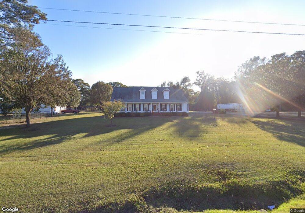
3638 Beulah Rd Clinton, NC 28328
Estimated Value: $239,000 - $333,000
3
Beds
2
Baths
1,870
Sq Ft
$155/Sq Ft
Est. Value
About This Home
This home is located at 3638 Beulah Rd, Clinton, NC 28328 and is currently estimated at $289,388, approximately $154 per square foot. 3638 Beulah Rd is a home located in Sampson County with nearby schools including Union Elementary School, Union Intermediate School, and Union Middle School.
Ownership History
Date
Name
Owned For
Owner Type
Purchase Details
Closed on
Jul 25, 2007
Sold by
Jones Mary C and Jones Kenneth R
Bought by
Fann Melanie Brooke and Fann Jeffery Farrell
Current Estimated Value
Purchase Details
Closed on
May 10, 2007
Sold by
Fann Melanie Brooke and Hall Melonie Brooke
Bought by
Jones Mary C and Cmj Construction
Home Financials for this Owner
Home Financials are based on the most recent Mortgage that was taken out on this home.
Original Mortgage
$136,200
Interest Rate
6.17%
Mortgage Type
Future Advance Clause Open End Mortgage
Create a Home Valuation Report for This Property
The Home Valuation Report is an in-depth analysis detailing your home's value as well as a comparison with similar homes in the area
Purchase History
We collect this data history from publicly available records. To have your information removed, we recommend requesting removal directly through your county’s website.
| Date | Buyer | Sale Price | Title Company |
|---|---|---|---|
| Fann Melanie Brooke | -- | -- | |
| Jones Mary C | $16,000 | -- |
Source: Public Records
Mortgage History
We collect this data history from publicly available records. To have your information removed, we recommend requesting removal directly through your county’s website.
| Date | Status | Borrower | Loan Amount |
|---|---|---|---|
| Previous Owner | Jones Mary C | $136,200 |
Source: Public Records
Tax History
| Year | Tax Paid | Tax Assessment Tax Assessment Total Assessment is a certain percentage of the fair market value that is determined by local assessors to be the total taxable value of land and additions on the property. | Land | Improvement |
|---|---|---|---|---|
| 2025 | $2,267 | $290,583 | $19,838 | $270,745 |
| 2024 | $2,063 | $290,583 | $19,838 | $270,745 |
| 2023 | $1,989 | $214,991 | $17,250 | $197,741 |
| 2022 | $1,989 | $214,991 | $17,250 | $197,741 |
| 2021 | $1,989 | $214,991 | $17,250 | $197,741 |
| 2020 | $1,989 | $214,991 | $17,250 | $197,741 |
| 2019 | $1,989 | $214,991 | $0 | $0 |
| 2018 | $1,927 | $208,373 | $0 | $0 |
| 2017 | $1,927 | $208,373 | $0 | $0 |
| 2016 | $1,938 | $208,373 | $0 | $0 |
| 2015 | $1,938 | $208,373 | $0 | $0 |
| 2014 | $1,927 | $208,373 | $0 | $0 |
Source: Public Records
Map
Nearby Homes
- 471 John Mark Rd
- 0 Hillside Ln
- 335 Sprunt Dr
- 1 Boykin Bridge Rd
- 8773 Garland Hwy
- 2177 Boney Mill Rd
- 113 Jefferson St
- 1116 W Elizabeth St
- 124 Kimberly Dr
- 382 Pig Cradle Ln
- 2312 Indian Town Rd
- Lot 22 General Lee Ln
- Lot 21 General Lee Ln
- 8401 Boykin Bridge Rd
- 703 W Main St
- 1181 Reedsford Rd
- 1116 Phillips St
- 301 Fork Lake Dr
- 10335 Garland Hwy
- Lots 7-12 Elaine Ln
Your Personal Tour Guide
Ask me questions while you tour the home.