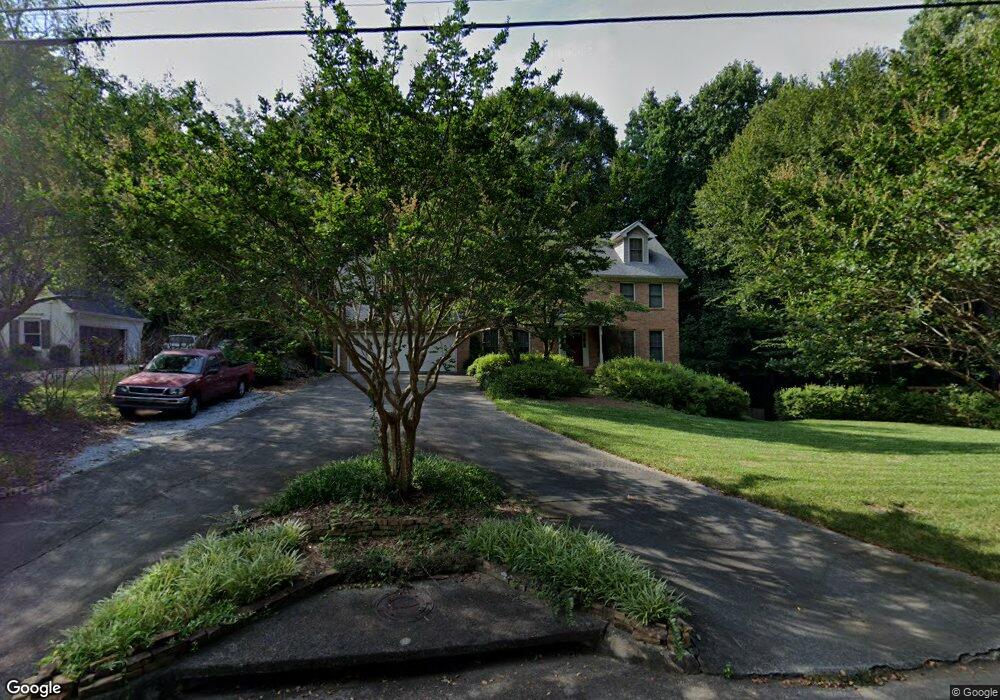
3639 Allenhurst Dr Norcross, GA 30092
Estimated Value: $638,000 - $747,000
5
Beds
4
Baths
3,230
Sq Ft
$214/Sq Ft
Est. Value
About This Home
This home is located at 3639 Allenhurst Dr, Norcross, GA 30092 and is currently estimated at $692,470, approximately $214 per square foot. 3639 Allenhurst Dr is a home located in Gwinnett County with nearby schools including Simpson Elementary School, Pinckneyville Middle School, and Norcross High School.
Ownership History
Date
Name
Owned For
Owner Type
Purchase Details
Closed on
Jun 30, 2005
Sold by
Sutton Charles F and Sutton Barbara
Bought by
Williams Steven D and Williams Young-Ok
Current Estimated Value
Home Financials for this Owner
Home Financials are based on the most recent Mortgage that was taken out on this home.
Original Mortgage
$248,950
Outstanding Balance
$127,545
Interest Rate
5.57%
Mortgage Type
New Conventional
Estimated Equity
$564,925
Create a Home Valuation Report for This Property
The Home Valuation Report is an in-depth analysis detailing your home's value as well as a comparison with similar homes in the area
Home Values in the Area
Average Home Value in this Area
Purchase History
| Date | Buyer | Sale Price | Title Company |
|---|---|---|---|
| Williams Steven D | $383,000 | -- |
Source: Public Records
Mortgage History
| Date | Status | Borrower | Loan Amount |
|---|---|---|---|
| Open | Williams Steven D | $248,950 |
Source: Public Records
Tax History
| Year | Tax Paid | Tax Assessment Tax Assessment Total Assessment is a certain percentage of the fair market value that is determined by local assessors to be the total taxable value of land and additions on the property. | Land | Improvement |
|---|---|---|---|---|
| 2025 | $7,321 | $277,880 | $50,160 | $227,720 |
| 2024 | $6,870 | $248,000 | $44,000 | $204,000 |
| 2023 | $6,870 | $248,000 | $44,000 | $204,000 |
| 2022 | $6,331 | $221,280 | $36,000 | $185,280 |
| 2021 | $5,670 | $183,440 | $35,520 | $147,920 |
| 2020 | $5,710 | $183,440 | $35,520 | $147,920 |
| 2019 | $5,171 | $165,520 | $30,000 | $135,520 |
| 2018 | $5,190 | $165,520 | $30,000 | $135,520 |
| 2016 | $4,679 | $143,840 | $24,000 | $119,840 |
| 2015 | $4,729 | $143,840 | $24,000 | $119,840 |
| 2014 | $4,616 | $143,840 | $24,000 | $119,840 |
Source: Public Records
Map
Nearby Homes
- 3875 High Shoals Dr
- 4698 Watervale Way
- 4698 Watervale Way Unit 155
- 4168 Allenhurst Dr
- 3985 Duke Reserve Cir
- 3682 Cedar Corners Place
- 4102 Ailey Ct
- 4107 Little Leaf Ct Unit 9
- 4460 Flippen Trail
- 3639 Monticello Commons
- RUTHERFORD II Plan at Overlook at Peachtree Corners
- 5809 Alvaton Ct
- 3577 Overlook Rise Dr
- 3573 Overlook Rise Dr
- 3600 Centennial Square
- 4000 Peachtree Corners Cir Unit 1
- 4220 Mary Ct
- 3555 Monticello Commons
- 3555 Monticello Common
- 3657 Monticello
- 3649 Allenhurst Dr Unit 3
- 3629 Allenhurst Dr Unit 3
- 5662 Bloomingdale Ct
- 5652 Bloomingdale Ct
- 5652 Bloomingdale Ct Unit 2
- 3854 High Shoals Dr
- 3638 Allenhurst Dr Unit 3
- 3619 Allenhurst Dr
- 5672 Bloomingdale Ct
- 5642 Bloomingdale Ct
- 3648 Allenhurst Dr
- 3618 Allenhurst Dr
- 3864 High Shoals Dr Unit 2
- 3669 Allenhurst Dr Unit 3
- 5682 Bloomingdale Ct
- 3658 Allenhurst Dr
- 3609 Allenhurst Dr Unit 3
- 3834 High Shoals Dr
- 3816 Social Cir
- 3745 Social Cir
Your Personal Tour Guide
Ask me questions while you tour the home.