3639 Cornstalk Rd Waynesville, OH 45068
Estimated Value: $710,000
5
Beds
4
Baths
3,974
Sq Ft
$179/Sq Ft
Est. Value
About This Home
This home is located at 3639 Cornstalk Rd, Waynesville, OH 45068 and is currently priced at $710,000, approximately $178 per square foot. 3639 Cornstalk Rd is a home located in Greene County with nearby schools including Xenia High School.
Ownership History
Date
Name
Owned For
Owner Type
Purchase Details
Closed on
Aug 31, 2015
Sold by
Fisher Donald S and Fisher Cheryl L
Bought by
Barrett Robert T and Barrett Kathryn Marry Evans
Current Estimated Value
Home Financials for this Owner
Home Financials are based on the most recent Mortgage that was taken out on this home.
Original Mortgage
$340,000
Outstanding Balance
$267,594
Interest Rate
3.97%
Mortgage Type
Purchase Money Mortgage
Estimated Equity
$442,406
Purchase Details
Closed on
Oct 10, 2006
Sold by
Fisher Donald S and Fisher Cheryl L
Bought by
Murnen Tarie K
Purchase Details
Closed on
Aug 18, 2003
Sold by
Countrytyme Lebanon Ltd
Bought by
Fisher Donald S and Fisher Cheryl L
Home Financials for this Owner
Home Financials are based on the most recent Mortgage that was taken out on this home.
Original Mortgage
$150,000
Interest Rate
5.97%
Mortgage Type
Purchase Money Mortgage
Create a Home Valuation Report for This Property
The Home Valuation Report is an in-depth analysis detailing your home's value as well as a comparison with similar homes in the area
Home Values in the Area
Average Home Value in this Area
Purchase History
| Date | Buyer | Sale Price | Title Company |
|---|---|---|---|
| Barrett Robert T | $400,000 | Attorney | |
| Murnen Tarie K | -- | None Available | |
| Fisher Donald S | $180,000 | -- |
Source: Public Records
Mortgage History
| Date | Status | Borrower | Loan Amount |
|---|---|---|---|
| Open | Barrett Robert T | $340,000 | |
| Previous Owner | Fisher Donald S | $150,000 |
Source: Public Records
Tax History Compared to Growth
Tax History
| Year | Tax Paid | Tax Assessment Tax Assessment Total Assessment is a certain percentage of the fair market value that is determined by local assessors to be the total taxable value of land and additions on the property. | Land | Improvement |
|---|---|---|---|---|
| 2024 | $10,398 | $288,990 | $127,920 | $161,070 |
| 2023 | $9,903 | $288,990 | $127,920 | $161,070 |
| 2022 | $8,264 | $225,780 | $109,160 | $116,620 |
| 2021 | $8,362 | $225,780 | $109,160 | $116,620 |
| 2020 | $7,677 | $225,780 | $109,160 | $116,620 |
| 2019 | $7,566 | $196,590 | $94,550 | $102,040 |
| 2018 | $7,464 | $196,590 | $94,550 | $102,040 |
| 2017 | $519 | $196,590 | $94,550 | $102,040 |
| 2016 | $7,531 | $185,120 | $87,410 | $97,710 |
| 2015 | $4,063 | $185,120 | $87,410 | $97,710 |
| 2014 | $16,452 | $185,120 | $87,410 | $97,710 |
Source: Public Records
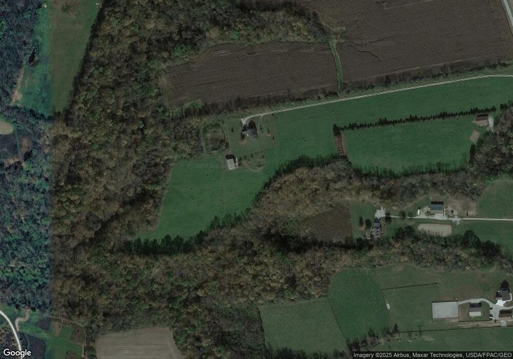
Map
Nearby Homes
- 9500 Collett Rd Unit 20
- 9052 Wilson Rd
- 8648 Compton Rd
- 196 Mound St
- 8760 State Route 380
- 8881 Route 42
- 2 Acres Mount Holly Rd
- 7364 Cook Jones Rd
- 0 Penewit Rd
- 10 Acres Penewit Rd
- 2538 State Route 725
- 9161 Old Stage Rd
- 9510 Bellbrook Rd
- 7902 N US Rt 42
- 8519 Old Stage Rd
- 0 Mount Holly Rd
- 1591 Valley Heights Rd
- 0A Old Winchester Trail
- 0B Old Winchester Trail
- 0C Old Winchester Trail
- 3683 Cornstalk Rd
- 3575 Cornstalk Rd
- 3773 Cornstalk Rd
- Lot 5 Cornstalk Rd
- Lot 1 Cornstalk Rd
- Lot 7 Cornstalk Rd
- 3487 Cornstalk Rd
- 3793 Cornstalk Rd
- 3445 Cornstalk Rd
- 1320 Roxanna New Burlington Rd
- 1380 Roxanna New Burlington Rd
- 3381 Cornstalk Rd
- 3871 Cornstalk Rd
- 3405 Cornstalk Rd
- 2 Cornstalk Rd
- 1450 Roxanna New Burlington Rd
- 1398 Roxanna New Burlington Rd
- 1566 Roxanna New Burlington Rd
- 0 Cornstalk Unit 406321
- 3341 Cornstalk Rd