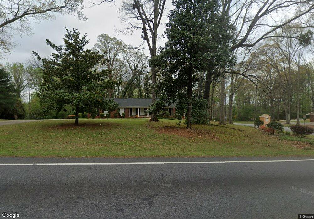
3639 Snapfinger Rd Lithonia, GA 30038
Estimated Value: $246,000 - $272,000
3
Beds
2
Baths
2,283
Sq Ft
$114/Sq Ft
Est. Value
About This Home
This home is located at 3639 Snapfinger Rd, Lithonia, GA 30038 and is currently estimated at $259,897, approximately $113 per square foot. 3639 Snapfinger Rd is a home located in DeKalb County with nearby schools including Browns Mill Elementary School, Salem Middle School, and Martin Luther King- Jr. High School.
Ownership History
Date
Name
Owned For
Owner Type
Purchase Details
Closed on
Nov 25, 2016
Sold by
Joseph S
Bought by
Harrison Chanda D and Harrison Joseph S
Current Estimated Value
Purchase Details
Closed on
Dec 8, 2011
Sold by
Harrison Chanda D
Bought by
Harrision Chanda D and Harrision Joseph S
Home Financials for this Owner
Home Financials are based on the most recent Mortgage that was taken out on this home.
Original Mortgage
$60,000
Interest Rate
4.06%
Mortgage Type
New Conventional
Create a Home Valuation Report for This Property
The Home Valuation Report is an in-depth analysis detailing your home's value as well as a comparison with similar homes in the area
Home Values in the Area
Average Home Value in this Area
Purchase History
| Date | Buyer | Sale Price | Title Company |
|---|---|---|---|
| Harrison Chanda D | -- | -- | |
| Harrision Chanda D | -- | -- |
Source: Public Records
Mortgage History
| Date | Status | Borrower | Loan Amount |
|---|---|---|---|
| Previous Owner | Harrision Chanda D | $60,000 |
Source: Public Records
Tax History
| Year | Tax Paid | Tax Assessment Tax Assessment Total Assessment is a certain percentage of the fair market value that is determined by local assessors to be the total taxable value of land and additions on the property. | Land | Improvement |
|---|---|---|---|---|
| 2025 | $2,784 | $105,680 | $10,800 | $94,880 |
| 2024 | $2,928 | $110,600 | $9,000 | $101,600 |
| 2023 | $2,928 | $108,560 | $14,400 | $94,160 |
Source: Public Records
Map
Nearby Homes
- 4290 Newcastle Cir
- 3745 Londonderry Ct
- 4586 High Gate Ln
- 3724 Eagles Beek Cir Unit 1
- 3540 Snapfinger Rd
- 4543 Red Tail Dr
- 3517 Framingham Dr
- 4453 Blackbirch Ln
- 4629 Dogwood Farms Dr
- 3605 Portsmouth Cir
- 4844 Zinzendorf Dr
- 3710 Burling Ridge
- 4590 Blue Sky Ct
- 4517 Meadow Vista Trace Unit 2
- 3417 Hollow Tree Dr
- 3326 Moravia Dr
- 3352 Herrenhut Rd
- 3316 Moravia Dr
- 3627 Springtree Dr
- 3945 Glen Park Dr
- 3645 Snapfinger Rd
- 4300 Newcastle Cir
- 3623 Snapfinger Rd
- 4700 Newcastle Cir
- 3659 Snapfinger Rd
- 4310 Newcastle Cir
- 4690 Newcastle Cir Unit 1
- 3669 Snapfinger Rd
- 3638 Snapfinger Rd
- 3648 Snapfinger Rd
- 4897 Eagles Ridge Loop
- 4315 Newcastle Cir
- 4305 Newcastle Cir
- 4903 Eagles Ridge Loop
- 4891 Eagles Ridge Loop Unit 1
- 4320 Newcastle Cir
- 4680 Newcastle Cir
- 3658 Snapfinger Rd
- 4885 Eagles Ridge Loop
- 3683 Snapfinger Rd
Your Personal Tour Guide
Ask me questions while you tour the home.