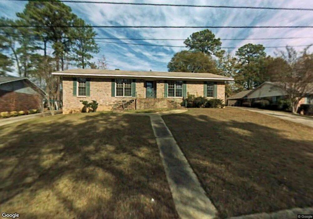
3639 Sutton Dr Columbus, GA 31909
North Columbus NeighborhoodEstimated Value: $232,149 - $272,000
3
Beds
3
Baths
1,814
Sq Ft
$141/Sq Ft
Est. Value
About This Home
This home is located at 3639 Sutton Dr, Columbus, GA 31909 and is currently estimated at $255,037, approximately $140 per square foot. 3639 Sutton Dr is a home located in Muscogee County with nearby schools including Blanchard Elementary School, Veterans Memorial Middle School, and Shaw High School.
Ownership History
Date
Name
Owned For
Owner Type
Purchase Details
Closed on
Nov 1, 2015
Sold by
Marchbanks Earl W
Bought by
Franks Charles D and Franks Vonna M
Current Estimated Value
Purchase Details
Closed on
Mar 3, 2009
Sold by
Frost Kevin
Bought by
Marchbanks Earl and Marchbanks Alice
Home Financials for this Owner
Home Financials are based on the most recent Mortgage that was taken out on this home.
Original Mortgage
$136,000
Interest Rate
5.15%
Mortgage Type
VA
Create a Home Valuation Report for This Property
The Home Valuation Report is an in-depth analysis detailing your home's value as well as a comparison with similar homes in the area
Home Values in the Area
Average Home Value in this Area
Purchase History
| Date | Buyer | Sale Price | Title Company |
|---|---|---|---|
| Franks Charles D | -- | -- | |
| Marchbanks Earl | $136,000 | None Available |
Source: Public Records
Mortgage History
| Date | Status | Borrower | Loan Amount |
|---|---|---|---|
| Previous Owner | Marchbanks Earl | $136,000 |
Source: Public Records
Tax History
| Year | Tax Paid | Tax Assessment Tax Assessment Total Assessment is a certain percentage of the fair market value that is determined by local assessors to be the total taxable value of land and additions on the property. | Land | Improvement |
|---|---|---|---|---|
| 2025 | $1,364 | $75,016 | $13,284 | $61,732 |
| 2024 | $1,364 | $75,016 | $13,284 | $61,732 |
| 2023 | $0 | $75,016 | $13,284 | $61,732 |
| 2022 | $1,418 | $63,740 | $13,284 | $50,456 |
| 2021 | $1,418 | $56,340 | $13,284 | $43,056 |
| 2020 | $1,754 | $56,340 | $13,284 | $43,056 |
| 2019 | $1,762 | $56,340 | $13,284 | $43,056 |
| 2018 | $1,762 | $56,340 | $13,284 | $43,056 |
| 2017 | $1,769 | $56,340 | $13,284 | $43,056 |
| 2016 | $2,361 | $57,237 | $8,400 | $48,837 |
| 2015 | $2,364 | $57,237 | $8,400 | $48,837 |
| 2014 | $2,367 | $57,237 | $8,400 | $48,837 |
| 2013 | -- | $57,237 | $8,400 | $48,837 |
Source: Public Records
Map
Nearby Homes
- 3805 Gray Fox Dr
- 19 Nettle Ct
- 6697 Springlake Dr
- 3646 Weems Rd
- 3725 Nutmeg Dr
- 2 Nightwind Ct
- 3845 Arrel Dr
- 6411 Michael Ave
- 6221 Charing Dr
- 2 Biltmore Ct
- 3325 N Quay Dr
- 4001 Twilight Dr
- 4348 White Clover Trail
- 6104 Windsor Dr
- 4202 Cheshire Bridge Rd
- 4405 Greenridge Dr
- 4968 Daybreak Ln
- 6002 Canterbury Dr
- 5921 Canterbury Dr
- 3783 Cardinal Landing Dr
Your Personal Tour Guide
Ask me questions while you tour the home.