36391 River Point Dr Astoria, OR 97103
River Point NeighborhoodEstimated Value: $556,771 - $714,000
3
Beds
2
Baths
1,725
Sq Ft
$379/Sq Ft
Est. Value
About This Home
This home is located at 36391 River Point Dr, Astoria, OR 97103 and is currently estimated at $653,693, approximately $378 per square foot. 36391 River Point Dr is a home located in Clatsop County with nearby schools including Astor Elementary School, Lewis & Clark Elementary School, and Astoria Middle School.
Ownership History
Date
Name
Owned For
Owner Type
Purchase Details
Closed on
Feb 7, 2014
Sold by
Vandewater Marie J
Bought by
Slobody Philip G and Slobody Constance S
Current Estimated Value
Home Financials for this Owner
Home Financials are based on the most recent Mortgage that was taken out on this home.
Original Mortgage
$207,920
Outstanding Balance
$157,569
Interest Rate
4.49%
Mortgage Type
New Conventional
Estimated Equity
$496,124
Create a Home Valuation Report for This Property
The Home Valuation Report is an in-depth analysis detailing your home's value as well as a comparison with similar homes in the area
Home Values in the Area
Average Home Value in this Area
Purchase History
| Date | Buyer | Sale Price | Title Company |
|---|---|---|---|
| Slobody Philip G | $259,900 | Ticor Title Ins Co |
Source: Public Records
Mortgage History
| Date | Status | Borrower | Loan Amount |
|---|---|---|---|
| Open | Slobody Philip G | $207,920 |
Source: Public Records
Tax History Compared to Growth
Tax History
| Year | Tax Paid | Tax Assessment Tax Assessment Total Assessment is a certain percentage of the fair market value that is determined by local assessors to be the total taxable value of land and additions on the property. | Land | Improvement |
|---|---|---|---|---|
| 2025 | $3,582 | $258,470 | -- | -- |
| 2024 | $3,487 | $250,943 | -- | -- |
| 2023 | $3,364 | $243,635 | $0 | $0 |
| 2022 | $3,271 | $236,540 | $0 | $0 |
| 2021 | $3,184 | $229,651 | $0 | $0 |
| 2020 | $3,094 | $222,963 | $0 | $0 |
| 2019 | $3,001 | $216,470 | $0 | $0 |
| 2018 | $2,699 | $210,166 | $0 | $0 |
| 2017 | $2,569 | $204,046 | $0 | $0 |
| 2016 | $2,439 | $198,104 | $52,118 | $145,986 |
| 2015 | $2,401 | $192,334 | $50,600 | $141,734 |
| 2014 | $2,370 | $186,733 | $0 | $0 |
| 2013 | -- | $181,296 | $0 | $0 |
Source: Public Records
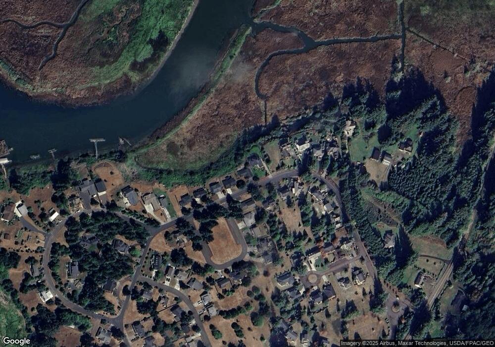
Map
Nearby Homes
- 36655 King Kong Ln
- 36629 King Kong Ln
- 0 Wireless Rd
- 35579 Bella Ridge Loop
- Lot 36 Bella Ridge Loop
- 16 Bella Ridge Loop
- 0 Adj To 2314 Se 1st
- 35443 Wiley Ln
- 92187 Lewis & Clark Rd
- 92187 Lewis And Clark Rd
- 2041 SE 1st St
- 35539 Little Walluski Ln
- 0 H St Unit 25-990
- 0 S Schwab St
- 0 S Schwab St Unit 24-310
- 1362 Olney Ave
- 0 V L Adj To 91906 Lewis and Rd Unit 25-687
- 91906 Lewis And Clark Rd
- 91755 Lewis And Clark Rd
- 91755 Lewis & Clark Rd
- 36383 River Point Dr Unit 31
- 36383 River Point Dr
- 36383 River Point
- 36399 River Point Dr
- 36380 River Point Dr
- 36392 River Point Dr
- 36373 Riverpoint Dr
- 36402 River Point Dr
- 92082 Drucker Place
- 36359 River Point Dr
- 36411 River Point Dr
- 36410 River Point Dr
- 92076 Drucker Place
- 36351 Riverpoint Dr
- 36351 River Point Dr
- 36417 River Point Dr
- 36430 River Point Dr
- 0 Drucker Place
- 36425 River Point Dr
- 92064 Drucker Place