36399 River Point Dr Astoria, OR 97103
River Point NeighborhoodEstimated Value: $726,782 - $870,000
5
Beds
3
Baths
3,094
Sq Ft
$253/Sq Ft
Est. Value
About This Home
This home is located at 36399 River Point Dr, Astoria, OR 97103 and is currently estimated at $781,696, approximately $252 per square foot. 36399 River Point Dr is a home located in Clatsop County with nearby schools including Astor Elementary School, Lewis & Clark Elementary School, and Astoria Middle School.
Ownership History
Date
Name
Owned For
Owner Type
Purchase Details
Closed on
Dec 12, 2007
Sold by
Campbell Ray E and Campbell Darla A
Bought by
Mccormick Terry P and Miller Jona J
Current Estimated Value
Home Financials for this Owner
Home Financials are based on the most recent Mortgage that was taken out on this home.
Original Mortgage
$41,400
Interest Rate
5.89%
Mortgage Type
Unknown
Create a Home Valuation Report for This Property
The Home Valuation Report is an in-depth analysis detailing your home's value as well as a comparison with similar homes in the area
Home Values in the Area
Average Home Value in this Area
Purchase History
| Date | Buyer | Sale Price | Title Company |
|---|---|---|---|
| Mccormick Terry P | $573,000 | Fidelity National Title Co |
Source: Public Records
Mortgage History
| Date | Status | Borrower | Loan Amount |
|---|---|---|---|
| Closed | Mccormick Terry P | $41,400 | |
| Open | Mccormick Terry P | $417,000 |
Source: Public Records
Tax History Compared to Growth
Tax History
| Year | Tax Paid | Tax Assessment Tax Assessment Total Assessment is a certain percentage of the fair market value that is determined by local assessors to be the total taxable value of land and additions on the property. | Land | Improvement |
|---|---|---|---|---|
| 2025 | $4,994 | $360,325 | -- | -- |
| 2024 | $4,861 | $349,831 | -- | -- |
| 2023 | $4,689 | $339,643 | $0 | $0 |
| 2022 | $4,560 | $329,752 | $0 | $0 |
| 2021 | $4,438 | $320,149 | $0 | $0 |
| 2020 | $4,314 | $310,825 | $0 | $0 |
| 2019 | $4,184 | $301,773 | $0 | $0 |
| 2018 | $3,763 | $292,985 | $0 | $0 |
| 2017 | $3,582 | $284,452 | $0 | $0 |
| 2016 | $3,400 | $276,168 | $52,118 | $224,050 |
| 2015 | $3,348 | $268,125 | $50,600 | $217,525 |
| 2014 | $3,303 | $260,317 | $0 | $0 |
| 2013 | -- | $252,736 | $0 | $0 |
Source: Public Records
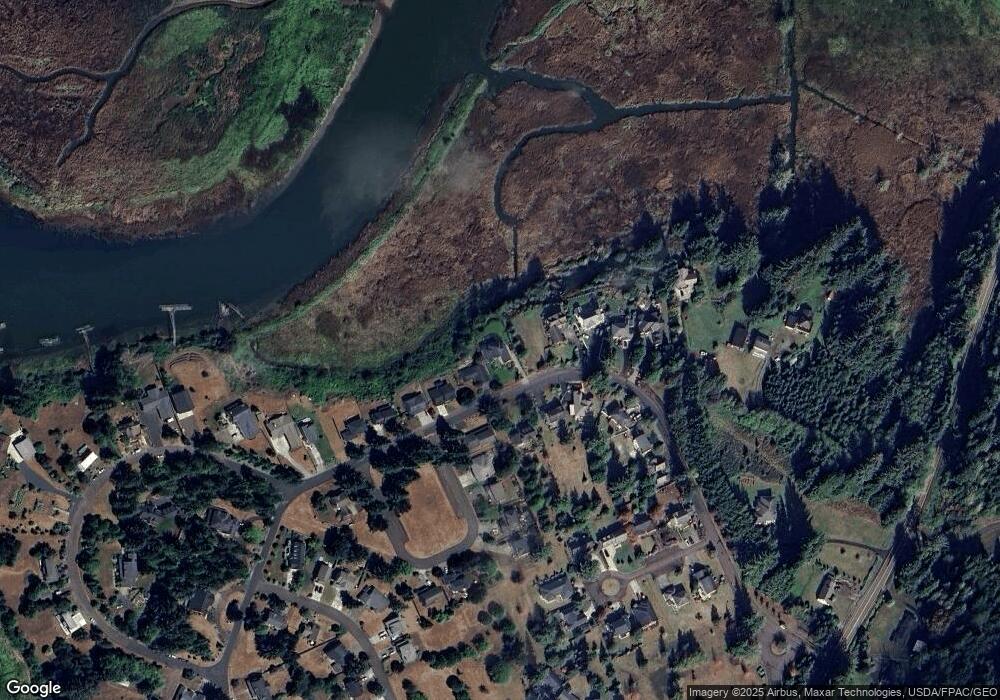
Map
Nearby Homes
- 36655 King Kong Ln
- 36629 King Kong Ln
- 0 Wireless Rd
- 35579 Bella Ridge Loop
- 0 Adj To 2314 Se 1st
- Lot 36 Bella Ridge Loop
- 16 Bella Ridge Loop
- 35443 Wiley Ln
- 2041 SE 1st St
- 92187 Lewis & Clark Rd
- 92187 Lewis And Clark Rd
- 35539 Little Walluski Ln
- 0 H St Unit 25-990
- 1362 Olney Ave
- 0 S Schwab St
- 0 S Schwab St Unit 24-310
- 0 V L Adj To 91906 Lewis and Rd Unit 25-687
- 91906 Lewis And Clark Rd
- 91755 Lewis And Clark Rd
- 91755 Lewis & Clark Rd
- 36391 River Point Dr
- 36383 River Point Dr Unit 31
- 36383 River Point Dr
- 36411 River Point Dr
- 36383 River Point
- 36392 River Point Dr
- 36402 River Point Dr
- 36380 River Point Dr
- 36417 River Point Dr
- 36373 Riverpoint Dr
- 36410 River Point Dr
- 92082 Drucker Place
- 36425 River Point Dr
- 36359 River Point Dr
- 36430 River Point Dr
- 92076 Drucker Place
- 36429 River Point Dr
- 36351 Riverpoint Dr
- 36351 River Point Dr
- 36444 River Point Dr