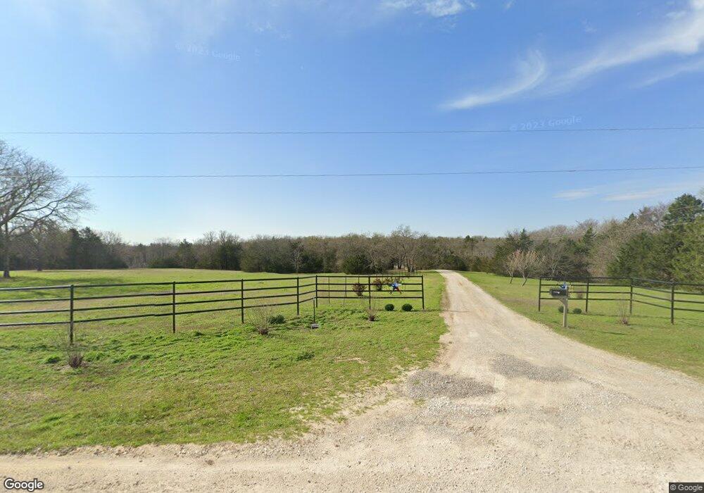
364 County Road 157 Whitesboro, TX 76273
Estimated Value: $681,000 - $1,127,000
3
Beds
4
Baths
2,849
Sq Ft
$313/Sq Ft
Est. Value
About This Home
This home is located at 364 County Road 157, Whitesboro, TX 76273 and is currently estimated at $892,379, approximately $313 per square foot. 364 County Road 157 is a home located in Cooke County with nearby schools including Callisburg Elementary School, Callisburg Middle School, and Callisburg High School.
Ownership History
Date
Name
Owned For
Owner Type
Purchase Details
Closed on
Apr 13, 2017
Sold by
Davis Leslie Glen and Davis Nancy J
Bought by
Laney Ricky L and Laney Roseann
Current Estimated Value
Home Financials for this Owner
Home Financials are based on the most recent Mortgage that was taken out on this home.
Original Mortgage
$207,500
Outstanding Balance
$104,465
Interest Rate
4.1%
Mortgage Type
New Conventional
Estimated Equity
$787,914
Create a Home Valuation Report for This Property
The Home Valuation Report is an in-depth analysis detailing your home's value as well as a comparison with similar homes in the area
Home Values in the Area
Average Home Value in this Area
Purchase History
| Date | Buyer | Sale Price | Title Company |
|---|---|---|---|
| Laney Ricky L | -- | None Available |
Source: Public Records
Mortgage History
| Date | Status | Borrower | Loan Amount |
|---|---|---|---|
| Open | Laney Ricky L | $207,500 |
Source: Public Records
Tax History Compared to Growth
Tax History
| Year | Tax Paid | Tax Assessment Tax Assessment Total Assessment is a certain percentage of the fair market value that is determined by local assessors to be the total taxable value of land and additions on the property. | Land | Improvement |
|---|---|---|---|---|
| 2025 | $6,384 | $622,327 | $41,000 | $596,763 |
| 2024 | $6,384 | $637,763 | $41,000 | $596,763 |
| 2023 | $6,566 | $514,320 | $39,000 | $613,692 |
| 2022 | $6,935 | $644,329 | $34,000 | $610,329 |
| 2021 | $7,773 | $456,469 | $24,200 | $432,269 |
| 2020 | $7,531 | $409,553 | $24,200 | $385,353 |
| 2019 | $6,844 | $352,159 | $20,400 | $331,759 |
| 2018 | $6,256 | $319,352 | $19,100 | $300,252 |
| 2017 | $4,880 | $246,834 | $12,800 | $234,034 |
| 2015 | $4,013 | $235,344 | $12,550 | $222,794 |
| 2014 | $4,013 | $233,064 | $12,550 | $220,514 |
Source: Public Records
Map
Nearby Homes
- 1619 County Rd 156
- TBD Annahill
- 2722 County Road 156
- TBD Old Sherman Rd
- 0 Sandusky Rd Unit 18837132
- 0 Sandusky Rd Unit 18837131
- TBD Frank Wood Rd
- TBD Sandusky Rd
- 0 Sandusky Rd Unit 18837133
- 0 Sandusky Rd Unit 18837128
- TBD Davis Rd
- 247 County Road 156
- TBD1 County Rd 116
- 5848 Sandusky Rd
- 239 County Road 118
- Tract 4 TBD Sandusky Rd
- Tract 5 TBD Sandusky Rd
- 0 Tbd Sandusky Rd
- 15 Tract 4 Sandusky Rd
- 1 Tbd Tract 5 Sandusky Rd
- 276 County Road 157
- 534 County Road 157
- 534 Cr 157
- 297 Cr-157
- 14 County Road 157
- 13 County Road 157
- 0 County Road 157
- 1745 Survey Rd
- 1558 Grayson Survey Rd
- 551 Survey Rd
- 445 Survey Rd
- 38+ AC Grayson Survey Rd
- 1860 Grayson Survey Rd
- 229 Glen Rose Trail
- TBD County Road 156
- 4 AC County Road 156
- 00 County Road 156
- LOT 3 County Road 156
- LOT 4 County Road 156
- LOT 5 County Road 156