364 Jordan Rd Ball Ground, GA 30107
Estimated Value: $337,000 - $437,781
4
Beds
3
Baths
1,480
Sq Ft
$272/Sq Ft
Est. Value
About This Home
This home is located at 364 Jordan Rd, Ball Ground, GA 30107 and is currently estimated at $402,945, approximately $272 per square foot. 364 Jordan Rd is a home located in Cherokee County with nearby schools including Ball Ground Elementary School, Creekland Middle School, and Creekview High School.
Ownership History
Date
Name
Owned For
Owner Type
Purchase Details
Closed on
Apr 30, 2001
Sold by
Arrowhead Construction Inc
Bought by
Lummus Donald P and Lummus Linda T
Current Estimated Value
Home Financials for this Owner
Home Financials are based on the most recent Mortgage that was taken out on this home.
Original Mortgage
$149,611
Outstanding Balance
$55,327
Interest Rate
6.9%
Mortgage Type
New Conventional
Estimated Equity
$347,618
Create a Home Valuation Report for This Property
The Home Valuation Report is an in-depth analysis detailing your home's value as well as a comparison with similar homes in the area
Home Values in the Area
Average Home Value in this Area
Purchase History
| Date | Buyer | Sale Price | Title Company |
|---|---|---|---|
| Lummus Donald P | $152,000 | -- |
Source: Public Records
Mortgage History
| Date | Status | Borrower | Loan Amount |
|---|---|---|---|
| Open | Lummus Donald P | $149,611 |
Source: Public Records
Tax History Compared to Growth
Tax History
| Year | Tax Paid | Tax Assessment Tax Assessment Total Assessment is a certain percentage of the fair market value that is determined by local assessors to be the total taxable value of land and additions on the property. | Land | Improvement |
|---|---|---|---|---|
| 2024 | $703 | $131,124 | $10,800 | $120,324 |
| 2023 | $508 | $112,892 | $10,800 | $102,092 |
| 2022 | $590 | $86,456 | $10,800 | $75,656 |
| 2021 | $578 | $70,864 | $9,000 | $61,864 |
| 2020 | $584 | $71,832 | $9,000 | $62,832 |
| 2019 | $580 | $70,760 | $9,000 | $61,760 |
| 2018 | $578 | $67,840 | $9,000 | $58,840 |
| 2017 | $596 | $171,800 | $9,000 | $59,720 |
| 2016 | $592 | $160,400 | $8,280 | $55,880 |
| 2015 | $613 | $162,500 | $8,280 | $56,720 |
| 2014 | $491 | $131,100 | $8,280 | $44,160 |
Source: Public Records
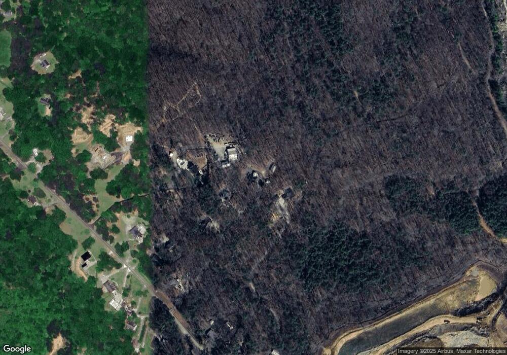
Map
Nearby Homes
- 210 S Mountain Brook Way
- 417 Tom Avery Dr
- 450 Tom Avery Dr
- 463 Tom Avery Dr
- 321 Cranston Dr
- 1725 Cherokee Gold Trail
- 239 Fairview Rd
- 323 Reese Way
- 338 Reese Way
- 9975 Ball Ground Hwy
- 277 Reese Way
- 127 Mills Ln
- 302 White Marble Way
- The Dillard Plan at Malone’s Pond
- The Evans Plan at Malone’s Pond
- The Vinings Plan at Malone’s Pond
- The Brooks Plan at Malone’s Pond
- The Bainbridge Plan at Malone’s Pond
- The Ashburn Plan at Malone’s Pond
- 362 Jordan Rd
- 400 Bishop Way
- 366 Jordan Rd
- 372 Jordan Rd
- 360 Jordan Rd
- 374 Jordan Rd
- 370 Jordan Rd
- 172 Jordan Rd
- 355 Jordan Rd
- 130 Jordan Rd
- 373 Jordan Rd
- 345 Jordan Rd
- 351 Jordan Rd
- 140 Jordan Rd
- 329 Jordan Rd
- 0 Jordan Rd Unit 8592674
- 0 Jordan Rd Unit 8459778
- 0 Jordan Rd Unit 8363591
- 0 Jordan Rd Unit 8873297
- 0 Jordan Rd Unit 7035901