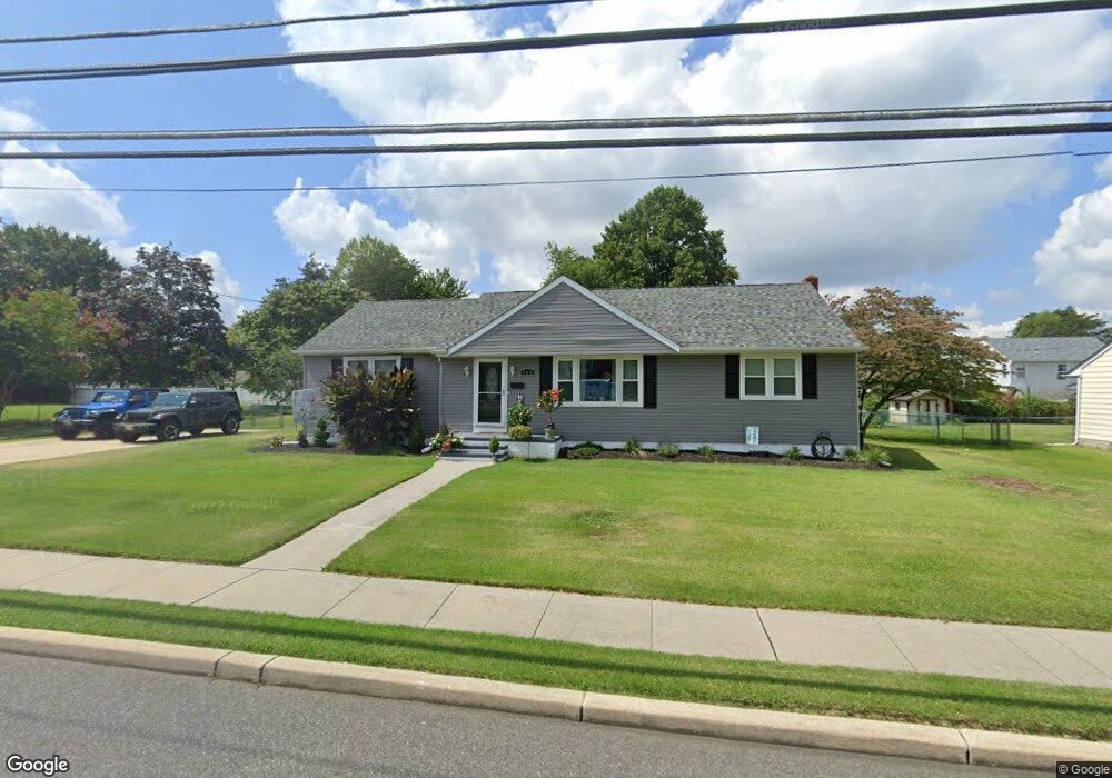
364 Main St Mantua, NJ 08051
Mantua Township NeighborhoodEstimated Value: $306,000 - $367,000
--
Bed
--
Bath
1,541
Sq Ft
$219/Sq Ft
Est. Value
About This Home
This home is located at 364 Main St, Mantua, NJ 08051 and is currently estimated at $337,956, approximately $219 per square foot. 364 Main St is a home located in Gloucester County with nearby schools including Centre City School, Clearview Regional Middle School, and Clearview Regional High School.
Ownership History
Date
Name
Owned For
Owner Type
Purchase Details
Closed on
Aug 29, 2002
Sold by
Dilks Robert L and Dilks Anna M
Bought by
Ramsey Linda M
Current Estimated Value
Home Financials for this Owner
Home Financials are based on the most recent Mortgage that was taken out on this home.
Original Mortgage
$110,000
Outstanding Balance
$46,989
Interest Rate
6.55%
Estimated Equity
$290,967
Purchase Details
Closed on
May 22, 1998
Sold by
Knowles Jeffrey B and Knowles Rose C
Bought by
Dilks Robert and Dilks Anna M
Home Financials for this Owner
Home Financials are based on the most recent Mortgage that was taken out on this home.
Original Mortgage
$77,000
Interest Rate
7.12%
Create a Home Valuation Report for This Property
The Home Valuation Report is an in-depth analysis detailing your home's value as well as a comparison with similar homes in the area
Home Values in the Area
Average Home Value in this Area
Purchase History
| Date | Buyer | Sale Price | Title Company |
|---|---|---|---|
| Ramsey Linda M | $123,000 | Continental Title Abstract C | |
| Dilks Robert | $117,000 | Commonwealth Land Title Ins |
Source: Public Records
Mortgage History
| Date | Status | Borrower | Loan Amount |
|---|---|---|---|
| Open | Ramsey Linda M | $110,000 | |
| Previous Owner | Dilks Robert | $77,000 |
Source: Public Records
Tax History Compared to Growth
Tax History
| Year | Tax Paid | Tax Assessment Tax Assessment Total Assessment is a certain percentage of the fair market value that is determined by local assessors to be the total taxable value of land and additions on the property. | Land | Improvement |
|---|---|---|---|---|
| 2025 | $5,786 | $224,700 | $50,800 | $173,900 |
| 2024 | $5,725 | $224,700 | $50,800 | $173,900 |
| 2023 | $5,725 | $224,700 | $50,800 | $173,900 |
| 2022 | $6,149 | $175,800 | $36,400 | $139,400 |
| 2021 | $6,195 | $175,800 | $36,400 | $139,400 |
| 2020 | $6,146 | $175,800 | $36,400 | $139,400 |
| 2019 | $6,042 | $175,800 | $36,400 | $139,400 |
| 2018 | $5,956 | $175,800 | $36,400 | $139,400 |
| 2017 | $5,866 | $175,800 | $36,400 | $139,400 |
| 2016 | $5,800 | $175,800 | $36,400 | $139,400 |
| 2015 | $5,657 | $175,800 | $36,400 | $139,400 |
| 2014 | $5,467 | $175,800 | $36,400 | $139,400 |
Source: Public Records
Map
Nearby Homes
- 8 Barry Dr
- 119 Monroe Ave
- 325 Bridgeton Pike
- 47 New Jersey Ave
- 1215 Tristram Cir
- 1433 Tristram Cir
- 1134 Tristram Cir Unit 4
- 1145 Tristram Cir
- 1147 Tristram Cir Unit 1147
- 41 Woodbrook Dr Unit C041
- 26 Woodstream Ct
- 204 W Landing Rd
- 505 W Mantua Ave
- 748 Dartmouth Dr
- 485 Harrison Ave
- 261 Tony Cir
- 111 Cove Rd
- 125 Ivy Ln
- 36 Bluebird Rd
- 17 Oakton Dr
- 358 Main St
- 366 Main St
- 109 Carriage Hill Cir
- 107 Carriage Hill Cir
- 354 Main St
- 111 Carriage Hill Cir
- 103 Carriage Hill Cir
- 374 Main St
- 115 Carriage Hill Cir
- 106 Carriage Hill Cir
- 151 Stanhope Ave
- 338 Main St
- 102 Carriage Hill Cir
- 197 Carriage Hill Cir
- 117 Carriage Hill Cir
- 339 Main St
- 154 Stanhope Ave
- 116 Carriage Hill Cir
- 153 Stanhope Ave
- 165 Victoria Ave