364 Route 539 Cream Ridge, NJ 08514
Estimated Value: $453,000 - $511,167
2
Beds
2
Baths
1,411
Sq Ft
$341/Sq Ft
Est. Value
About This Home
This home is located at 364 Route 539, Cream Ridge, NJ 08514 and is currently estimated at $480,542, approximately $340 per square foot. 364 Route 539 is a home located in Monmouth County with nearby schools including Newell Elementary School, Stonebridge Middle School, and Allentown High School.
Ownership History
Date
Name
Owned For
Owner Type
Purchase Details
Closed on
Apr 11, 2002
Sold by
Search William
Bought by
Search Brett and Borota Tina
Current Estimated Value
Home Financials for this Owner
Home Financials are based on the most recent Mortgage that was taken out on this home.
Original Mortgage
$185,000
Interest Rate
6.79%
Create a Home Valuation Report for This Property
The Home Valuation Report is an in-depth analysis detailing your home's value as well as a comparison with similar homes in the area
Home Values in the Area
Average Home Value in this Area
Purchase History
| Date | Buyer | Sale Price | Title Company |
|---|---|---|---|
| Search Brett | $185,000 | -- |
Source: Public Records
Mortgage History
| Date | Status | Borrower | Loan Amount |
|---|---|---|---|
| Previous Owner | Search Brett | $185,000 |
Source: Public Records
Tax History Compared to Growth
Tax History
| Year | Tax Paid | Tax Assessment Tax Assessment Total Assessment is a certain percentage of the fair market value that is determined by local assessors to be the total taxable value of land and additions on the property. | Land | Improvement |
|---|---|---|---|---|
| 2025 | $7,039 | $414,200 | $261,700 | $152,500 |
| 2024 | $7,072 | $326,500 | $162,700 | $163,800 |
| 2023 | $7,072 | $318,400 | $162,400 | $156,000 |
| 2022 | $6,574 | $286,800 | $138,200 | $148,600 |
| 2021 | $6,574 | $271,100 | $138,200 | $132,900 |
| 2020 | $6,455 | $267,400 | $138,200 | $129,200 |
| 2019 | $6,374 | $265,900 | $138,200 | $127,700 |
| 2018 | $6,046 | $248,500 | $138,200 | $110,300 |
| 2017 | $5,899 | $245,700 | $138,100 | $107,600 |
| 2016 | $5,764 | $243,000 | $138,100 | $104,900 |
| 2015 | $6,149 | $262,000 | $161,900 | $100,100 |
| 2014 | $5,680 | $243,900 | $152,400 | $91,500 |
Source: Public Records
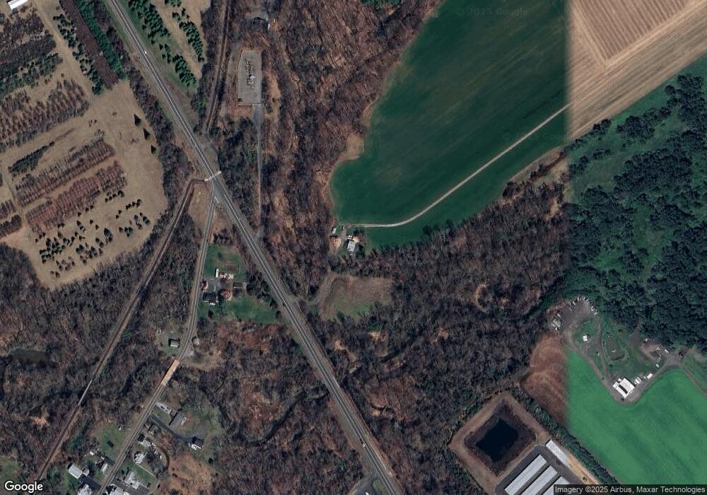
Map
Nearby Homes
- 9 Arneytown Hornerstown Rd
- 10 Arneytown Hornerstown Rd
- 9 Main St
- 14 Main St
- 4 Cranberry Ct
- 3 Copperfield Dr
- 12 Copperfield Dr
- 9 Copperfield Dr
- 14 Tanglewood Dr
- 791 Monmouth Rd
- 120 Jonathan Holmes Rd
- 848 Monmouth Rd
- 393 E Millstream Rd
- 10 Postal Rd
- 12 Millstream Rd
- 2 Sefel Ave
- 113 Highbridge Rd
- 90 Sanders Ln
- 510 Pinehurst Rd
- 6 Cooper Ct
- 3 Arneytown Hornerstown Rd Unit 5
- 1 Arneytown Hornerstown Rd
- 7 Arneytown Hornerstown Rd
- 7 Arneytown Hornerstown Rd Unit 7B
- 7 Arneytown Hornerstown Rd Unit A
- 8 Arneytown Hornerstown Rd
- 360 Route 539
- 11 Arneytown Hornerstown Rd
- 818 Monmouth Rd
- 12 Arneytown Hornerstown Rd
- 10 Arneytown-Hornerstown Rd
- 370 Route 539
- 333 Route 539
- 31 Main St
- 29 Main St
- 27 Main St
- 33 Main St
- 14 Arneytown Hornerstown Rd
- 23 Main St
- 20 Main St