364 Whitetatail Dr McCall, ID 83638
Estimated Value: $2,165,000 - $3,034,358
3
Beds
3
Baths
3,300
Sq Ft
$773/Sq Ft
Est. Value
About This Home
This home is located at 364 Whitetatail Dr, McCall, ID 83638 and is currently estimated at $2,549,590, approximately $772 per square foot. 364 Whitetatail Dr is a home located in Valley County with nearby schools including McCall-Donnelly High School, McCall Adventist Christian School, and The North Fork School.
Ownership History
Date
Name
Owned For
Owner Type
Purchase Details
Closed on
Aug 13, 2020
Sold by
Krogh Mark H and Wyen Lianne
Bought by
Pennell Ian Donald and Pennell Sarah Jane
Current Estimated Value
Purchase Details
Closed on
Nov 15, 2010
Sold by
Zions First National Bank
Bought by
Krogh Mark H and Krogh Lianne C
Purchase Details
Closed on
Jun 10, 2009
Sold by
Winski Carl J
Bought by
Zions First National Bank
Purchase Details
Closed on
Sep 12, 2005
Sold by
Club For All Seasons Llc
Bought by
Winski Carl J
Create a Home Valuation Report for This Property
The Home Valuation Report is an in-depth analysis detailing your home's value as well as a comparison with similar homes in the area
Home Values in the Area
Average Home Value in this Area
Purchase History
| Date | Buyer | Sale Price | Title Company |
|---|---|---|---|
| Pennell Ian Donald | -- | Amerititle Cascade | |
| Krogh Mark H | -- | -- | |
| Zions First National Bank | $197,184 | -- | |
| Winski Carl J | -- | -- |
Source: Public Records
Tax History
| Year | Tax Paid | Tax Assessment Tax Assessment Total Assessment is a certain percentage of the fair market value that is determined by local assessors to be the total taxable value of land and additions on the property. | Land | Improvement |
|---|---|---|---|---|
| 2025 | $11,786 | $2,714,676 | $386,120 | $2,328,556 |
| 2023 | $11,786 | $2,440,540 | $343,218 | $2,097,322 |
| 2022 | $10,664 | $2,119,765 | $427,383 | $1,692,382 |
| 2021 | $10,612 | $1,411,447 | $278,316 | $1,133,131 |
| 2020 | $9,037 | $1,154,585 | $254,115 | $900,470 |
| 2019 | $7,962 | $952,304 | $242,014 | $710,290 |
| 2018 | $7,616 | $845,444 | $238,464 | $606,980 |
| 2017 | $7,310 | $761,508 | $256,807 | $504,701 |
| 2016 | $6,633 | $676,436 | $161,500 | $514,936 |
| 2015 | $6,417 | $624,702 | $0 | $0 |
| 2013 | -- | $509,743 | $0 | $0 |
Source: Public Records
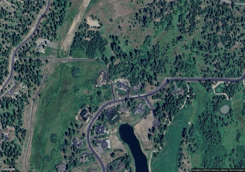
Map
Nearby Homes
- 4625 Williams Creek Loop Unit 96
- 4333 Song Sparrow Ct Unit 28
- 4605 Williams Creek Loop
- 325 Whitetail Dr
- 1413 Stone Ln
- 459 Osprey View Dr Unit 90
- 532 Osprey View Dr Unit 48
- 544 Osprey View Dr Unit 43
- 671 Aster Ct Unit 64
- 659 Aster Ct
- 667 Aster Ct Unit 63
- 656 Aster Ct Unit 67
- 660 Aster Ct
- 4305 Song Sparrow Ct
- 663 Lichen Ln Unit 68
- 661 Migratory Ridge Unit 72
- 609 Migratory Ridge Way Unit 46
- 669 Migratory Ridge Way Unit 70
- 7 Whitefield Ln Unit 7
- 4 Whitefield Ln
- 364 Whitetail Dr Unit 57
- 364 Whitetail Dr
- 368 Whitetail Dr Unit 56
- 368 Whitetail Dr
- 361 Whitetail Dr
- 360 Whitetail Dr Unit 58
- 360 Whitetail Dr
- 372 Whitetail Dr
- 372 Whitetail Dr Unit 55
- xxx Otter Pond Ln Unit 16
- 349 Whitetail Dr
- 354 Whitetail Dr
- 354 Whitetail Dr Unit 60
- 345 Whitetail Dr Unit 45
- 341 Whitetail Dr
- 341 Whitetail Dr Unit 44
- 350 Whitetail Dr
- 350 Whitetail Dr Unit 61
- 337 Whitetail Dr
- 342 Whitetail Dr
Your Personal Tour Guide
Ask me questions while you tour the home.