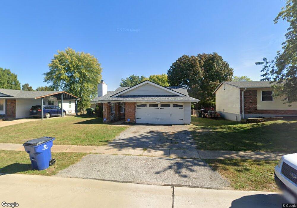
3640 Woodman Dr Florissant, MO 63031
Estimated Value: $187,000 - $236,000
3
Beds
2
Baths
1,692
Sq Ft
$128/Sq Ft
Est. Value
About This Home
This home is located at 3640 Woodman Dr, Florissant, MO 63031 and is currently estimated at $217,060, approximately $128 per square foot. 3640 Woodman Dr is a home located in St. Louis County with nearby schools including North Middle School, Hazelwood Central High School, and Oak Bridge.
Ownership History
Date
Name
Owned For
Owner Type
Purchase Details
Closed on
Mar 18, 2002
Sold by
S & P Properties
Bought by
Lee Albert W and Lee Mattie L
Current Estimated Value
Home Financials for this Owner
Home Financials are based on the most recent Mortgage that was taken out on this home.
Original Mortgage
$85,410
Interest Rate
6.78%
Mortgage Type
Seller Take Back
Create a Home Valuation Report for This Property
The Home Valuation Report is an in-depth analysis detailing your home's value as well as a comparison with similar homes in the area
Home Values in the Area
Average Home Value in this Area
Purchase History
| Date | Buyer | Sale Price | Title Company |
|---|---|---|---|
| Lee Albert W | $94,900 | -- |
Source: Public Records
Mortgage History
| Date | Status | Borrower | Loan Amount |
|---|---|---|---|
| Previous Owner | Lee Albert W | $85,410 |
Source: Public Records
Tax History Compared to Growth
Tax History
| Year | Tax Paid | Tax Assessment Tax Assessment Total Assessment is a certain percentage of the fair market value that is determined by local assessors to be the total taxable value of land and additions on the property. | Land | Improvement |
|---|---|---|---|---|
| 2025 | $3,058 | $38,460 | $5,910 | $32,550 |
| 2024 | $3,058 | $35,040 | $2,360 | $32,680 |
| 2023 | $3,054 | $35,040 | $2,360 | $32,680 |
| 2022 | $2,637 | $26,930 | $3,860 | $23,070 |
| 2021 | $2,599 | $26,930 | $3,860 | $23,070 |
| 2020 | $2,526 | $24,360 | $5,910 | $18,450 |
| 2019 | $2,488 | $24,360 | $5,910 | $18,450 |
| 2018 | $2,446 | $22,030 | $2,000 | $20,030 |
| 2017 | $2,443 | $22,030 | $2,000 | $20,030 |
| 2016 | $2,404 | $21,380 | $2,380 | $19,000 |
| 2015 | $2,353 | $21,380 | $2,380 | $19,000 |
| 2014 | $2,207 | $20,650 | $3,740 | $16,910 |
Source: Public Records
Map
Nearby Homes
- 3645 Woodman Dr
- 3660 Woodman Dr
- 2 Aspen II at Riverstone
- 16787 River Stone Dr
- 2 Ashford at Riverstone
- 2 Berwick at Riverstone
- 2 Maple at Riverstone
- 16804 River Stone Dr
- 3828 Sonora Stone Dr
- 3819 Sonora Stone Dr
- 3844 Rapids Dr
- 1638 Matlock Dr
- 3840 Sonora Stone Dr
- 1455 Burnside Ct
- 3849 Secretariat Dr
- 3839 Sonora Stone Dr
- 2 Aspen at Riverstone
- 1323 Woodpath Dr
- 3859 Sonora Stone Dr
- 1303 Topsider Ct
- 3650 Woodman Dr
- 3630 Woodman Dr
- 1690 Woodman Dr
- 1696 Ryall Ct
- 1686 Ryall Ct
- 1680 Woodman Dr
- 3670 Woodman Dr
- 3655 Woodman Dr
- 3635 Woodman Dr
- 3665 Woodman Dr
- 1676 Ryall Ct
- 1670 Woodman Dr
- 1677 Ryall Ct
- 3675 Woodman Dr
- 3680 Woodman Dr
- 3625 Woodman Dr
- 3685 Woodman Dr
- 1660 Woodman Dr
- 1695 Woodman Dr
- 1685 Woodman Dr