36402 River Point Dr Astoria, OR 97103
River Point NeighborhoodEstimated Value: $574,922 - $746,000
--
Bed
--
Bath
1,008
Sq Ft
$671/Sq Ft
Est. Value
About This Home
This home is located at 36402 River Point Dr, Astoria, OR 97103 and is currently estimated at $676,481, approximately $671 per square foot. 36402 River Point Dr is a home located in Clatsop County with nearby schools including Astor Elementary School, Lewis & Clark Elementary School, and Astoria Middle School.
Ownership History
Date
Name
Owned For
Owner Type
Purchase Details
Closed on
Jun 13, 2007
Sold by
Johnson Eugene E and Brennan Johnson Traci Anne
Bought by
Bitterman John R and Bitterman Cori Wynne
Current Estimated Value
Home Financials for this Owner
Home Financials are based on the most recent Mortgage that was taken out on this home.
Original Mortgage
$390,000
Outstanding Balance
$237,095
Interest Rate
6.16%
Mortgage Type
VA
Estimated Equity
$439,386
Create a Home Valuation Report for This Property
The Home Valuation Report is an in-depth analysis detailing your home's value as well as a comparison with similar homes in the area
Home Values in the Area
Average Home Value in this Area
Purchase History
| Date | Buyer | Sale Price | Title Company |
|---|---|---|---|
| Bitterman John R | $390,000 | Ticor Title Ins Co |
Source: Public Records
Mortgage History
| Date | Status | Borrower | Loan Amount |
|---|---|---|---|
| Open | Bitterman John R | $390,000 |
Source: Public Records
Tax History Compared to Growth
Tax History
| Year | Tax Paid | Tax Assessment Tax Assessment Total Assessment is a certain percentage of the fair market value that is determined by local assessors to be the total taxable value of land and additions on the property. | Land | Improvement |
|---|---|---|---|---|
| 2025 | $4,080 | $294,426 | -- | -- |
| 2024 | $3,972 | $285,851 | -- | -- |
| 2023 | $3,832 | $277,526 | $0 | $0 |
| 2022 | $3,726 | $269,444 | $0 | $0 |
| 2021 | $3,627 | $261,598 | $0 | $0 |
| 2020 | $3,525 | $253,980 | $0 | $0 |
| 2019 | $3,419 | $246,584 | $0 | $0 |
| 2018 | $3,075 | $239,403 | $0 | $0 |
| 2017 | $2,927 | $232,431 | $0 | $0 |
| 2016 | $2,778 | $225,662 | $42,644 | $183,018 |
| 2015 | $2,735 | $219,090 | $41,402 | $177,688 |
| 2014 | $2,699 | $212,710 | $0 | $0 |
| 2013 | -- | $206,516 | $0 | $0 |
Source: Public Records
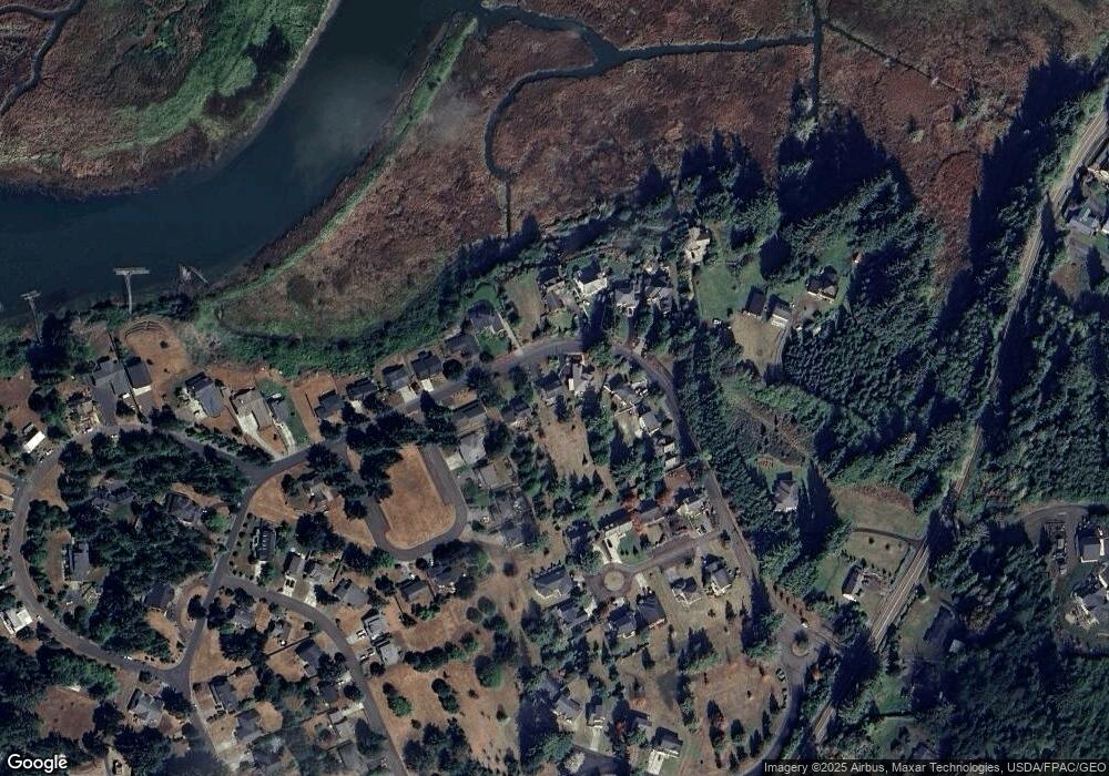
Map
Nearby Homes
- 36655 King Kong Ln
- 36629 King Kong Ln
- 0 Wireless Rd
- 35579 Bella Ridge Loop
- Lot 36 Bella Ridge Loop
- 16 Bella Ridge Loop
- 0 Adj To 2314 Se 1st
- 35443 Wiley Ln
- 35539 Little Walluski Ln
- 2041 SE 1st St
- 92187 Lewis & Clark Rd
- 92187 Lewis And Clark Rd
- 0 H St Unit 25-990
- 1362 Olney Ave
- 0 S Schwab St
- 0 S Schwab St Unit 24-310
- 0 V L Adj To 91906 Lewis and Rd Unit 25-687
- 91906 Lewis And Clark Rd
- 91755 Lewis And Clark Rd
- 91755 Lewis & Clark Rd
- 36392 River Point Dr
- 36410 River Point Dr
- 36430 River Point Dr
- 36391 River Point Dr
- 36380 River Point Dr
- 92082 Drucker Place
- 36399 River Point Dr
- 36444 River Point Dr
- 36411 River Point Dr
- 92076 Drucker Place
- 36417 River Point Dr
- 36454 River Point Dr
- 36383 River Point Dr Unit 31
- 36383 River Point Dr
- 36383 River Point
- 36425 River Point Dr
- 36429 River Point Dr
- 92064 Drucker Place
- 36475 Florence Ct
- 36471 Florence Ct