3642 Earbob Rd Locust Grove, OK 74352
Estimated Value: $281,000 - $444,000
3
Beds
2
Baths
1,809
Sq Ft
$213/Sq Ft
Est. Value
About This Home
This home is located at 3642 Earbob Rd, Locust Grove, OK 74352 and is currently estimated at $384,974, approximately $212 per square foot. 3642 Earbob Rd is a home with nearby schools including Locust Grove Early Lrning Center, Locust Grove Upper Elementary School, and Locust Grove Middle School.
Ownership History
Date
Name
Owned For
Owner Type
Purchase Details
Closed on
May 12, 2006
Sold by
Limbaugh E B and Limbaugh Kimberly A
Bought by
Koppenhaver Carl W and Koppenhaver Patricia A
Current Estimated Value
Home Financials for this Owner
Home Financials are based on the most recent Mortgage that was taken out on this home.
Original Mortgage
$125,000
Outstanding Balance
$71,999
Interest Rate
6.4%
Mortgage Type
New Conventional
Estimated Equity
$312,975
Purchase Details
Closed on
Apr 27, 2001
Sold by
Wall Randy and Wall Catherine
Bought by
Limbaugh Eb and Limbaugh Kimberly A
Create a Home Valuation Report for This Property
The Home Valuation Report is an in-depth analysis detailing your home's value as well as a comparison with similar homes in the area
Home Values in the Area
Average Home Value in this Area
Purchase History
| Date | Buyer | Sale Price | Title Company |
|---|---|---|---|
| Koppenhaver Carl W | $185,000 | None Available | |
| Limbaugh Eb | $167,500 | -- |
Source: Public Records
Mortgage History
| Date | Status | Borrower | Loan Amount |
|---|---|---|---|
| Open | Koppenhaver Carl W | $125,000 |
Source: Public Records
Tax History Compared to Growth
Tax History
| Year | Tax Paid | Tax Assessment Tax Assessment Total Assessment is a certain percentage of the fair market value that is determined by local assessors to be the total taxable value of land and additions on the property. | Land | Improvement |
|---|---|---|---|---|
| 2025 | $2,453 | $28,198 | $6,263 | $21,935 |
| 2023 | $2,453 | $26,578 | $5,956 | $20,622 |
| 2022 | $2,238 | $25,805 | $5,809 | $19,996 |
| 2021 | $2,216 | $25,053 | $5,600 | $19,453 |
| 2020 | $2,181 | $24,323 | $5,600 | $18,723 |
| 2019 | $2,137 | $23,825 | $5,600 | $18,225 |
| 2018 | $2,114 | $23,131 | $6,115 | $17,016 |
| 2017 | $2,115 | $23,131 | $6,115 | $17,016 |
| 2016 | $2,065 | $23,131 | $6,115 | $17,016 |
| 2015 | $2,131 | $23,131 | $6,115 | $17,016 |
| 2014 | $2,175 | $23,582 | $6,115 | $17,467 |
Source: Public Records
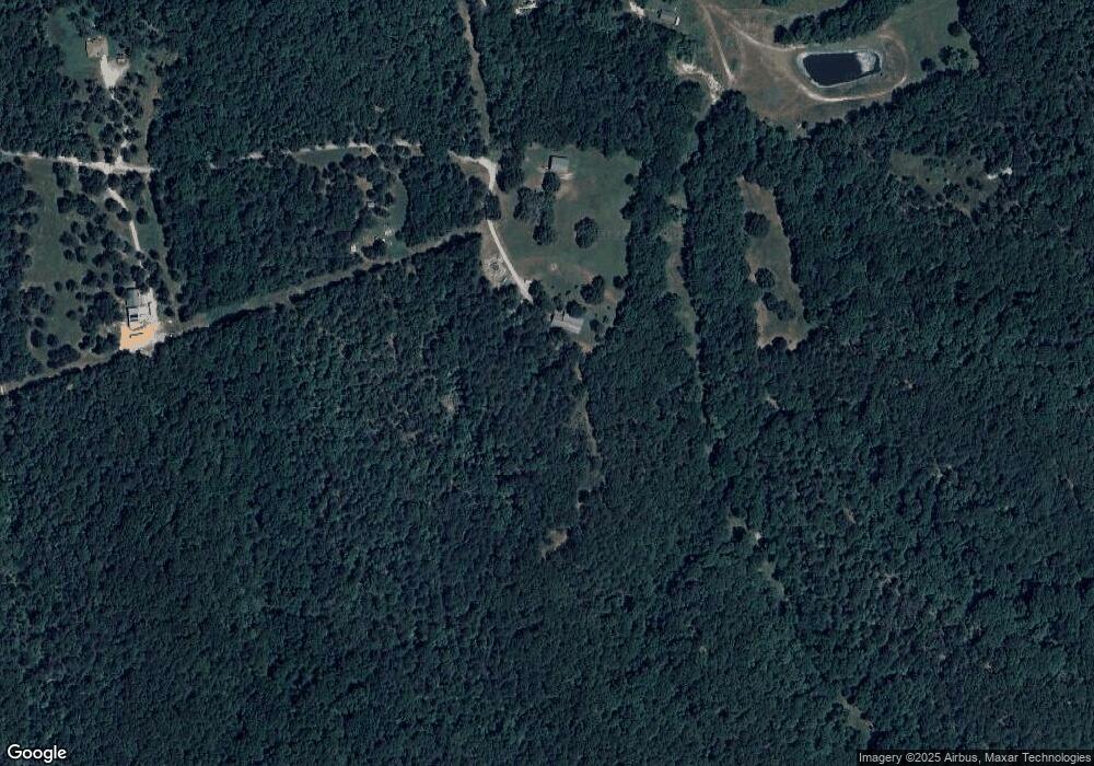
Map
Nearby Homes
- 58 Oak
- 0 S 4409 Rd
- 5747 E 620 Rd
- 0 Rural Route Unit 25-1842
- 0 E 610 Rd Unit 2542638
- 14209 S 439
- 12754 S 442 Rd
- 0 S 043 Rd Unit 2512653
- 7167 E 618 Rd
- 12665 S 4429
- 1819 E 600
- 4100 N 430 Rd
- 6164 E 578
- 10015 E 632 Rd
- 381 S 437
- 10171 U S Highway 412
- 9212 S 443 Rd
- 815 S Cherokee St
- 715 S Cherokee St
- 608 S Cherokee St