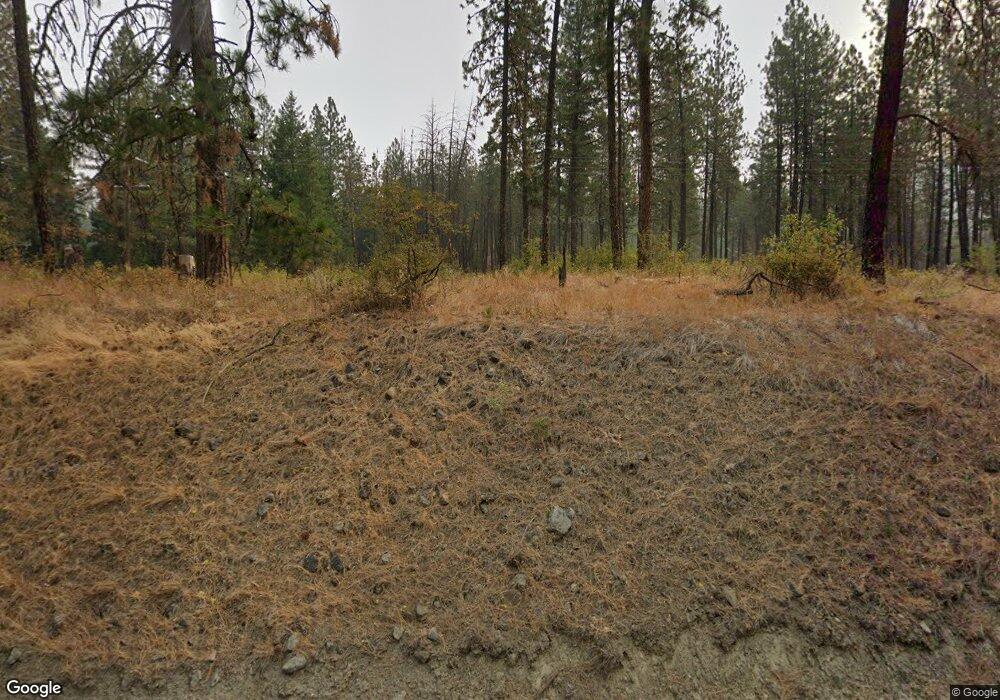
3643 Highway 25 S Gifford, WA 99131
Estimated Value: $382,000 - $445,000
2
Beds
--
Bath
1,280
Sq Ft
$325/Sq Ft
Est. Value
About This Home
This home is located at 3643 Highway 25 S, Gifford, WA 99131 and is currently estimated at $415,451, approximately $324 per square foot. 3643 Highway 25 S is a home located in Stevens County.
Ownership History
Date
Name
Owned For
Owner Type
Purchase Details
Closed on
Jul 22, 2025
Sold by
Johnson Timothy R and Johnson Nyla L
Bought by
Crockett James Edward and Crockett Christina Michele
Current Estimated Value
Home Financials for this Owner
Home Financials are based on the most recent Mortgage that was taken out on this home.
Original Mortgage
$351,500
Outstanding Balance
$350,904
Interest Rate
6.84%
Mortgage Type
New Conventional
Estimated Equity
$64,547
Create a Home Valuation Report for This Property
The Home Valuation Report is an in-depth analysis detailing your home's value as well as a comparison with similar homes in the area
Home Values in the Area
Average Home Value in this Area
Purchase History
| Date | Buyer | Sale Price | Title Company |
|---|---|---|---|
| Crockett James Edward | $370,000 | Stevens County Title |
Source: Public Records
Mortgage History
| Date | Status | Borrower | Loan Amount |
|---|---|---|---|
| Open | Crockett James Edward | $351,500 |
Source: Public Records
Tax History Compared to Growth
Tax History
| Year | Tax Paid | Tax Assessment Tax Assessment Total Assessment is a certain percentage of the fair market value that is determined by local assessors to be the total taxable value of land and additions on the property. | Land | Improvement |
|---|---|---|---|---|
| 2024 | $1,216 | $189,230 | $6,800 | $182,430 |
| 2023 | $1,183 | $303,094 | $123,000 | $180,094 |
| 2022 | $1,171 | $292,318 | $123,000 | $169,318 |
| 2021 | $1,225 | $168,195 | $6,761 | $161,434 |
| 2020 | $1,245 | $168,195 | $6,761 | $161,434 |
| 2019 | $882 | $161,328 | $6,741 | $154,587 |
| 2018 | $911 | $109,632 | $6,722 | $102,910 |
| 2017 | $813 | $109,632 | $6,722 | $102,910 |
| 2016 | $834 | $109,612 | $6,702 | $102,910 |
| 2015 | -- | $109,573 | $6,663 | $102,910 |
| 2013 | -- | $109,554 | $6,644 | $102,910 |
Source: Public Records
Map
Nearby Homes
- 4100 Bissel Rd
- 3305 Bradeen Rd
- 3304 Miles Rd
- 3 xx Addy-Gifford Rd
- TBD Spirit Ridge Way
- 3000 BLK Addy-Gifford Rd Unit 5455
- 3000 BLK Addy-Gifford Rd
- 41XX Bissel Rd
- 4021 Bissell Rd
- 27XX Records Rd
- NKA Apex Rd
- TBD Cobbs Creek Rd
- 26 Stray Dog Canyon Rd
- 3600 Block Beck Rd
- 3600 BLK Beck Rd
- 3635 B Breckenridge Rd
- 248 Apex Rd
- 2626 Cedonia-Addy Rd
- Parcel E Daisy Mine Rd
- Parcel D Daisy Mine Rd
- 0 Hwy 25 Unit 28027925
- 0 Hwy 25 Unit 29016381
- 000 Hwy 25 S
- 0 Hwy 25 Unit 11587
- 0 Hwy 25 Unit 6542
- 3697 Highway 25 S
- 3615 Washington 25
- 3702 Cameron Rd N
- 3613 Highway 25 S
- 3703 Highway 25 S
- 3707 Highway 25 S
- 3666 Martin Rd
- 3666 Cameron Rd N
- 3617 Martin Rd
- 3611 Martin Rd
- 3648 Cameron Rd N
- 3613 Martin Rd
- 3139 Martin Rd
- 3597 Martin Rd
- 3725 Highway 25 S
