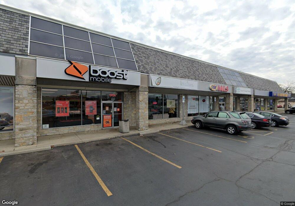
3643 W Broad St Columbus, OH 43228
--
Bed
--
Bath
17,496
Sq Ft
0.91
Acres
About This Home
This home is located at 3643 W Broad St, Columbus, OH 43228. 3643 W Broad St is a home located in Franklin County with nearby schools including Prairie Lincoln Elementary School, Galloway Ridge Intermediate School, and Norton Middle School.
Ownership History
Date
Name
Owned For
Owner Type
Purchase Details
Closed on
May 17, 2022
Sold by
Lbr Properties Llc
Bought by
State Of Ohio Department Of Transportation
Purchase Details
Closed on
May 9, 2022
Sold by
Lbr Properties Llc
Bought by
State Of Ohio Department Of Transportation
Purchase Details
Closed on
Apr 26, 2022
Sold by
Lbr Properties Llc
Bought by
State Of Ohio Department Of Transportation
Purchase Details
Closed on
Dec 29, 1988
Purchase Details
Closed on
May 25, 1988
Create a Home Valuation Report for This Property
The Home Valuation Report is an in-depth analysis detailing your home's value as well as a comparison with similar homes in the area
Home Values in the Area
Average Home Value in this Area
Purchase History
| Date | Buyer | Sale Price | Title Company |
|---|---|---|---|
| State Of Ohio Department Of Transportation | $9,918 | None Listed On Document | |
| State Of Ohio Department Of Transportation | $9,918 | None Listed On Document | |
| State Of Ohio Department Of Transportation | $9,918 | None Listed On Document | |
| -- | $402,500 | -- | |
| -- | -- | -- |
Source: Public Records
Tax History Compared to Growth
Tax History
| Year | Tax Paid | Tax Assessment Tax Assessment Total Assessment is a certain percentage of the fair market value that is determined by local assessors to be the total taxable value of land and additions on the property. | Land | Improvement |
|---|---|---|---|---|
| 2024 | $40,920 | $444,820 | $111,270 | $333,550 |
| 2023 | $40,601 | $444,820 | $111,270 | $333,550 |
| 2022 | $41,062 | $400,130 | $103,710 | $296,420 |
| 2021 | $40,023 | $400,130 | $103,710 | $296,420 |
| 2020 | $39,795 | $400,130 | $103,710 | $296,420 |
| 2019 | $39,229 | $371,000 | $94,290 | $276,710 |
| 2018 | $39,935 | $371,000 | $94,290 | $276,710 |
| 2017 | $39,525 | $371,000 | $94,290 | $276,710 |
| 2016 | $42,590 | $385,000 | $94,290 | $290,710 |
| 2015 | $40,346 | $385,000 | $94,290 | $290,710 |
| 2014 | $40,250 | $385,000 | $94,290 | $290,710 |
| 2013 | $20,043 | $385,000 | $94,290 | $290,710 |
Source: Public Records
Map
Nearby Homes
- 94 Florence Ave
- 147 Coolidge Ave
- 139 Demorest Ave
- 195 S Sylvan Ave
- 38 Powhatan Ave
- 36-38 Orel Ave
- 77 S Brinker Ave
- 133 S Brinker Ave
- 99 N Brinker Ave Unit 101
- 0 S Brinker Ave
- 3100 Steele Ave
- 3938 Halsey Place
- 638 Fairmoor Place
- 4006 Halsey Place
- 3300-3302 Sullivant Ave
- 3276-3278 Sullivant Ave
- 75 N Huron Ave
- 617 Athens St
- 644 Georgian Dr
- 756 Brixham Rd
- 23 Broadlawn Ave
- 24 Florence Ave
- 30 Florence Ave Unit 36
- 35 Broadlawn Ave
- 36 Florence Ave
- 3689 W Broad St
- 0 Broadlawn Ave
- 40 Florence Ave
- 45 Broadlawn Ave
- 24 Broadlawn Ave
- 46 Florence Ave
- 26 Broadlawn Ave
- 0 Florence Ave
- 51 Broadlawn Ave
- 30 Broadlawn Ave
- 27 Florence Ave
- 50 Florence Ave
- 35 Florence Ave
- 40 Broadlawn Ave
- 55 Broadlawn Ave