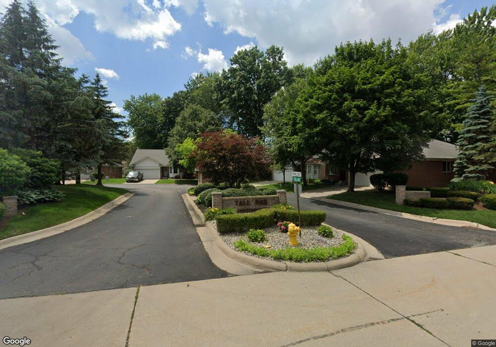
36434 Tall Oak Unit 3 Westland, MI 48185
Estimated Value: $205,000 - $285,000
2
Beds
2
Baths
1,248
Sq Ft
$201/Sq Ft
Est. Value
About This Home
This home is located at 36434 Tall Oak Unit 3, Westland, MI 48185 and is currently estimated at $251,422, approximately $201 per square foot. 36434 Tall Oak Unit 3 is a home located in Wayne County with nearby schools including P.D. Graham Elementary School, Marshall Upper Elementary School, and Adlai Stevenson Middle School.
Ownership History
Date
Name
Owned For
Owner Type
Purchase Details
Closed on
Apr 20, 2022
Sold by
Burrows Grace E
Bought by
Grace E Burrows Trust
Current Estimated Value
Purchase Details
Closed on
Sep 14, 2018
Sold by
Barr Patsy G and Barr Dale J
Bought by
Burrows Grace E
Purchase Details
Closed on
Oct 3, 2017
Sold by
Barr Dale J and Barr Patsy G
Bought by
Barr Dale J and Barr Patsy G
Purchase Details
Closed on
Feb 24, 2015
Sold by
Barr Dale J
Bought by
Barr Dale K and Barr Patsy G
Purchase Details
Closed on
Jul 17, 2009
Sold by
Zagar James and Zagar Patricia A
Bought by
Barr Dale J
Purchase Details
Closed on
Aug 6, 2008
Sold by
Zagar Sophie
Bought by
Zagar James and Zagar Robert
Create a Home Valuation Report for This Property
The Home Valuation Report is an in-depth analysis detailing your home's value as well as a comparison with similar homes in the area
Home Values in the Area
Average Home Value in this Area
Purchase History
| Date | Buyer | Sale Price | Title Company |
|---|---|---|---|
| Grace E Burrows Trust | -- | None Listed On Document | |
| Burrows Grace E | $162,500 | None Available | |
| Barr Dale J | -- | None Available | |
| Barr Dale K | -- | Sterling Title Partners | |
| Barr Dale J | $110,000 | Multiple | |
| Zagar James | -- | None Available |
Source: Public Records
Tax History Compared to Growth
Tax History
| Year | Tax Paid | Tax Assessment Tax Assessment Total Assessment is a certain percentage of the fair market value that is determined by local assessors to be the total taxable value of land and additions on the property. | Land | Improvement |
|---|---|---|---|---|
| 2025 | $3,587 | $109,500 | $0 | $0 |
| 2024 | $3,587 | $106,800 | $0 | $0 |
| 2023 | $3,425 | $101,200 | $0 | $0 |
| 2022 | $3,886 | $89,200 | $0 | $0 |
| 2021 | $3,788 | $80,700 | $0 | $0 |
| 2020 | $3,748 | $77,000 | $0 | $0 |
| 2019 | $3,611 | $73,800 | $0 | $0 |
| 2018 | $1,826 | $69,700 | $0 | $0 |
| 2017 | $751 | $67,500 | $0 | $0 |
| 2016 | $2,280 | $66,100 | $0 | $0 |
| 2015 | $4,520 | $54,480 | $0 | $0 |
| 2013 | $4,379 | $44,810 | $0 | $0 |
| 2012 | $2,124 | $43,800 | $0 | $0 |
Source: Public Records
Map
Nearby Homes
- 35863 Hunter Ave Unit 34
- 6541 Pembrook Dr
- 6145 N Dowling St
- 37186 Amhurst Dr Unit 5
- 0 Dowling Ave
- 35754 Castlewood Ct
- 5942 N Walton St
- 6026 Wilmer St
- 35737 Hunter Ave
- 6546 Quail Run Cir
- 5889 N Globe St
- 6013 N Newburgh Rd
- 5692 N Globe St
- 35833 Ford Rd
- 5834 Morley St
- 7330 Woodview St Unit 2
- 0 N Wayne Rd
- 7051 Wayne Rd
- 7630 Woodview St Unit 2
- 38066 Sherwood St
- 36422 Tall Oak Unit 2
- 6275 White Oak
- 6296 Twin Oaks Unit 15
- 36410 Tall Oak
- 36410 Tall Oak Unit 1
- 6263 White Oak Unit 5
- 6284 Twin Oaks
- 6284 Twin Oaks Unit 14
- 6266 White Oak
- 6266 White Oak Unit 40
- 6251 White Oak Unit 6
- 6308 Twin Oaks Unit 16
- 6239 White Oak
- 6254 White Oak Unit 39
- 6272 Twin Oaks
- 6320 Twin Oaks
- 6230 White Oak
- 6230 White Oak Unit 37
- 6242 White Oak
- 6242 White Oak Unit 38