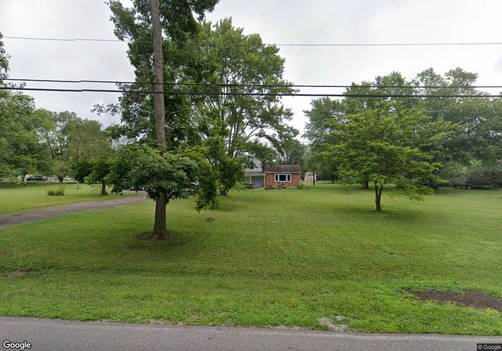
3644 Rocky Point Rd Springfield, OH 45502
Estimated Value: $329,054 - $358,000
3
Beds
3
Baths
1,984
Sq Ft
$173/Sq Ft
Est. Value
About This Home
This home is located at 3644 Rocky Point Rd, Springfield, OH 45502 and is currently estimated at $344,014, approximately $173 per square foot. 3644 Rocky Point Rd is a home located in Clark County with nearby schools including Greenon Elementary School, Greenon Jr. High School, and Greenon High School.
Ownership History
Date
Name
Owned For
Owner Type
Purchase Details
Closed on
Jul 1, 1994
Sold by
Rumer Luanne
Bought by
Kumbusky Phillip J and Kumbusky Rhonda G
Current Estimated Value
Home Financials for this Owner
Home Financials are based on the most recent Mortgage that was taken out on this home.
Original Mortgage
$98,800
Interest Rate
8.66%
Mortgage Type
New Conventional
Purchase Details
Closed on
Aug 1, 1983
Create a Home Valuation Report for This Property
The Home Valuation Report is an in-depth analysis detailing your home's value as well as a comparison with similar homes in the area
Home Values in the Area
Average Home Value in this Area
Purchase History
| Date | Buyer | Sale Price | Title Company |
|---|---|---|---|
| Kumbusky Phillip J | $123,500 | -- | |
| -- | -- | -- |
Source: Public Records
Mortgage History
| Date | Status | Borrower | Loan Amount |
|---|---|---|---|
| Closed | Kumbusky Phillip J | $98,800 |
Source: Public Records
Tax History Compared to Growth
Tax History
| Year | Tax Paid | Tax Assessment Tax Assessment Total Assessment is a certain percentage of the fair market value that is determined by local assessors to be the total taxable value of land and additions on the property. | Land | Improvement |
|---|---|---|---|---|
| 2024 | $4,249 | $81,230 | $15,180 | $66,050 |
| 2023 | $4,249 | $81,230 | $15,180 | $66,050 |
| 2022 | $4,245 | $81,230 | $15,180 | $66,050 |
| 2021 | $3,473 | $58,930 | $11,000 | $47,930 |
| 2020 | $3,482 | $58,930 | $11,000 | $47,930 |
| 2019 | $3,530 | $58,930 | $11,000 | $47,930 |
| 2018 | $2,966 | $48,410 | $10,080 | $38,330 |
| 2017 | $2,973 | $48,413 | $10,084 | $38,329 |
| 2016 | $2,591 | $48,413 | $10,084 | $38,329 |
| 2015 | $2,410 | $43,411 | $9,167 | $34,244 |
| 2014 | $2,415 | $43,411 | $9,167 | $34,244 |
| 2013 | $2,124 | $43,411 | $9,167 | $34,244 |
Source: Public Records
Map
Nearby Homes
- 3000 Rebert Pike
- 5152 S Tecumseh Rd
- 4676 Sullivan Rd
- 4311 Lone Wolf Ave
- 4341 Lone Wolf Ave
- 2064 Fairfield Pike
- 5177 Outerview Dr
- 3072 Fowler Rd
- 2600 Brookdale Dr
- 5540 Broadway Rd
- 1810 Old Mill Rd
- 5822 Broadway Rd
- 68 Skyline Dr
- 1616 Crest Dr
- 4742 Peacock Rd
- 3131 Springfield Xenia Rd
- 2707 Springfield Xenia Rd
- Tract 2 W Jackson Rd
- 3161 Dayton Rd
- 3161 Dayton Springfield Rd
- 3620 Rocky Point Rd
- 3680 Rocky Point Rd
- 3730 Rocky Point Rd
- 3572 Rocky Point Rd
- 3775 Rocky Point Rd
- 3749 Rocky Point Rd
- 3801 Rocky Point Rd
- 3772 Rocky Point Rd
- 3825 Rocky Point Rd
- 3800 Westcliff Ct
- 3800 Rocky Point Rd
- 3525 Rocky Point Rd
- 3822 Westcliff Ct
- 3891 Old Mill Rd
- 3824 Rocky Point Rd
- 3520 Rocky Point Rd
- 3865 Old Mill Rd
- 3844 Westcliff Ct
- 3871 Rocky Point Rd
- 3801 Westcliff Ct