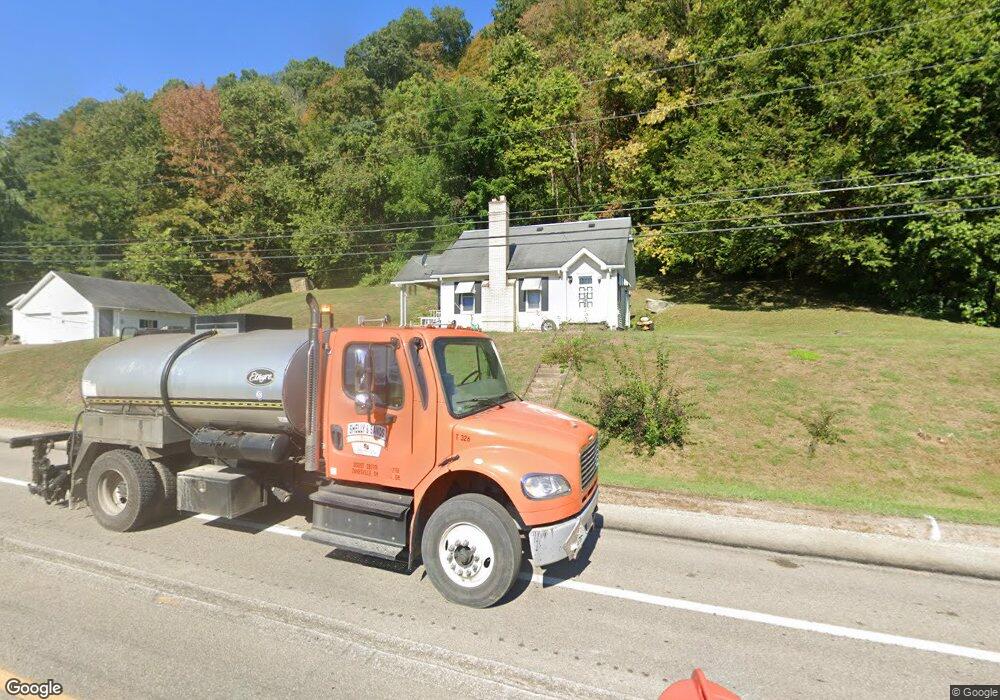
36443 State Route 7 Sardis, OH 43946
Estimated Value: $109,882 - $171,000
--
Bed
1
Bath
672
Sq Ft
$205/Sq Ft
Est. Value
About This Home
This home is located at 36443 State Route 7, Sardis, OH 43946 and is currently estimated at $137,721, approximately $204 per square foot. 36443 State Route 7 is a home located in Monroe County with nearby schools including River Elementary School and River High School.
Ownership History
Date
Name
Owned For
Owner Type
Purchase Details
Closed on
Aug 2, 2023
Sold by
Hunter Richard T and Hunter Jennifer
Bought by
Wolf Run Land Llc
Current Estimated Value
Purchase Details
Closed on
Jul 3, 2023
Sold by
Lawhead Robert A and Lawhead Anastasia M
Bought by
Wolf Run Land Llc
Purchase Details
Closed on
May 24, 2022
Sold by
Barbara Anderson
Bought by
Wolf Run Land Llc
Purchase Details
Closed on
Jul 3, 2019
Sold by
Estate Of Joseph T Lambie
Bought by
Lambie Andrew and Moore Sara
Purchase Details
Closed on
Nov 1, 1995
Bought by
Ward Gerald
Purchase Details
Closed on
Nov 19, 1993
Bought by
Ward Gerald
Create a Home Valuation Report for This Property
The Home Valuation Report is an in-depth analysis detailing your home's value as well as a comparison with similar homes in the area
Home Values in the Area
Average Home Value in this Area
Purchase History
| Date | Buyer | Sale Price | Title Company |
|---|---|---|---|
| Wolf Run Land Llc | $2,000 | None Listed On Document | |
| Wolf Run Land Llc | $2,030 | None Listed On Document | |
| Wolf Run Land Llc | $9,930 | None Listed On Document | |
| Lambie Andrew | -- | None Available | |
| Lamble Andrew | -- | None Available | |
| Ward Gerald | -- | -- | |
| Ward Gerald | -- | -- |
Source: Public Records
Tax History Compared to Growth
Tax History
| Year | Tax Paid | Tax Assessment Tax Assessment Total Assessment is a certain percentage of the fair market value that is determined by local assessors to be the total taxable value of land and additions on the property. | Land | Improvement |
|---|---|---|---|---|
| 2024 | $675 | $22,010 | $7,640 | $14,370 |
| 2023 | $676 | $22,010 | $7,640 | $14,370 |
| 2022 | $674 | $22,010 | $7,640 | $14,370 |
| 2021 | $646 | $20,840 | $6,350 | $14,490 |
| 2020 | $626 | $20,840 | $6,350 | $14,490 |
| 2019 | $360 | $20,840 | $6,350 | $14,490 |
| 2018 | $320 | $19,090 | $5,290 | $13,800 |
| 2017 | $322 | $19,090 | $5,290 | $13,800 |
| 2016 | $325 | $19,090 | $5,290 | $13,800 |
| 2015 | $249 | $16,290 | $4,540 | $11,750 |
| 2014 | $249 | $16,290 | $4,540 | $11,750 |
| 2013 | $251 | $15,800 | $4,410 | $11,390 |
Source: Public Records
Map
Nearby Homes
- 2 lots Main St
- 321 N 1st Ave
- 130 N 1st Ave
- 109 S 1st Ave
- 123 Boston St
- 301 E Main St
- 731 N 4th Ave
- 126 N 7th Ave
- 617 N 7th Ave
- 604 N 7th Ave
- 425 S 3rd Ave
- 0 Above Rt 2 at Forbes & Energy Hwy Unit 138670
- 104 E Pollock St
- 713 N 8th Ave
- 111 E Adams St
- 914 Meadow Heights
- 37020 Monroe St
- 37283 Border St
- 37370 5th Ave
- 37311 Willow St
- 36467 State Route 7
- 36433 State Route 7
- 36399 State Route 7
- 36404 State Route 7
- 36545 State Route 7
- 48975 Narrows Run Rd
- 36577 State Route 7
- 36372 State Route 7
- 36356 State Route 7
- 36356 State Route 7
- 49126 Narrows Run Rd
- 49116 Narrows Run Rd
- 36287 State Route 7
- 36618 State Route 7
- 48893 Narrows Run Rd
- 49100 Narrows Run Rd
- 36306 State Route 7
- 48831 Narrows Run Rd
- 36695 State Route 7
- 211 Stephens Ln