36449 Highway 34 Lebanon, OR 97355
Estimated Value: $334,591 - $958,000
--
Bed
1
Bath
1,132
Sq Ft
$571/Sq Ft
Est. Value
About This Home
This home is located at 36449 Highway 34, Lebanon, OR 97355 and is currently estimated at $646,296, approximately $570 per square foot. 36449 Highway 34 is a home located in Linn County with nearby schools including Pioneer School, Lebanon High School, and CSC Lebanon Learning Opportunities Center.
Ownership History
Date
Name
Owned For
Owner Type
Purchase Details
Closed on
May 3, 2005
Sold by
Oswald Robert C and Fryer Sarah E
Bought by
Bazant John Joseph and Bazant Christine Lee
Current Estimated Value
Home Financials for this Owner
Home Financials are based on the most recent Mortgage that was taken out on this home.
Original Mortgage
$385,600
Outstanding Balance
$200,147
Interest Rate
5.87%
Mortgage Type
Fannie Mae Freddie Mac
Estimated Equity
$446,149
Create a Home Valuation Report for This Property
The Home Valuation Report is an in-depth analysis detailing your home's value as well as a comparison with similar homes in the area
Home Values in the Area
Average Home Value in this Area
Purchase History
| Date | Buyer | Sale Price | Title Company |
|---|---|---|---|
| Bazant John Joseph | $379,000 | Lawyers Title Ins |
Source: Public Records
Mortgage History
| Date | Status | Borrower | Loan Amount |
|---|---|---|---|
| Open | Bazant John Joseph | $385,600 |
Source: Public Records
Tax History Compared to Growth
Tax History
| Year | Tax Paid | Tax Assessment Tax Assessment Total Assessment is a certain percentage of the fair market value that is determined by local assessors to be the total taxable value of land and additions on the property. | Land | Improvement |
|---|---|---|---|---|
| 2025 | $757 | $81,720 | -- | -- |
| 2024 | $739 | $79,580 | -- | -- |
| 2023 | $721 | $77,510 | $0 | $0 |
| 2022 | $712 | $75,500 | $0 | $0 |
| 2021 | $688 | $73,550 | $0 | $0 |
| 2020 | $680 | $71,640 | $0 | $0 |
| 2019 | $665 | $69,680 | $0 | $0 |
| 2018 | $649 | $67,780 | $0 | $0 |
| 2017 | $639 | $65,930 | $0 | $0 |
| 2016 | $629 | $64,240 | $0 | $0 |
| 2015 | $611 | $62,490 | $0 | $0 |
| 2014 | $605 | $60,800 | $0 | $0 |
Source: Public Records
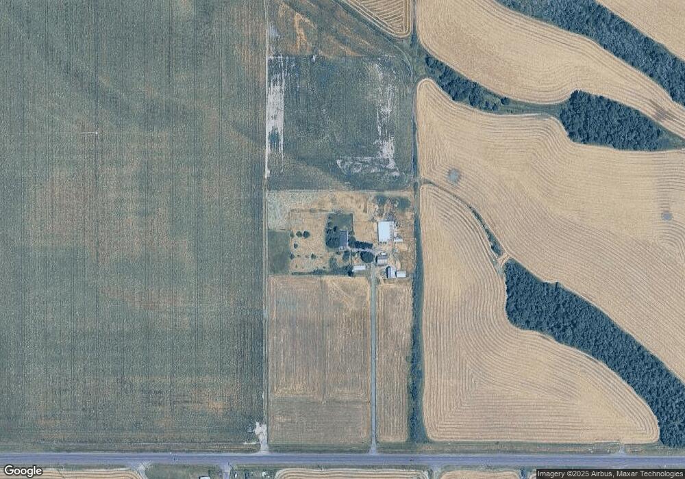
Map
Nearby Homes
- 695 S 16th St
- 776 Cheadle Lake Ct
- 415 S 9th St
- 650 Tangent St
- 720 W Isabella St
- 720 W Rose St
- 945 W Oak St
- 515 W Mary St
- 537 W Morton St
- 1024 S 10th St
- 831 W Oak St
- 588 W Rose St
- 1052 S 10th St
- 33510 Millview Way
- 0 Denny School Rd
- 785 W B St
- 477 W Sherman St
- 975 W E (-985) St
- 1011 F St
- 1010 Turtledove Loop
- 36498 Highway 34
- 36498 Highway 34
- 36300 Highway 34
- 36600 Highway 34
- 36622 Oregon 34
- 36666 Highway 34
- 36699 Highway 34
- 32968 Sunset Rd
- 32956 Sunset Rd
- 32932 Sunset Rd
- 34 Or-34
- 32916 Sunset Rd
- 32910 Sunset Rd
- 32896 Sunset Rd
- 36755 Highway 34
- 32874 Sunset Rd
- 32955 Tucker Ln
- 32965 Tucker Ln
- 32856 Sunset Rd
- 32840 Sunset Rd