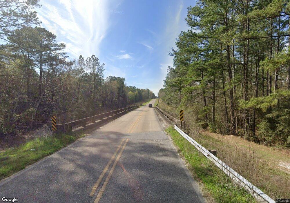
3645 Highway 2 Laurel Hill, FL 32567
Estimated Value: $214,000 - $489,000
2
Beds
2
Baths
1,446
Sq Ft
$262/Sq Ft
Est. Value
About This Home
This home is located at 3645 Highway 2, Laurel Hill, FL 32567 and is currently estimated at $378,450, approximately $261 per square foot. 3645 Highway 2 is a home located in Okaloosa County with nearby schools including Laurel Hill School.
Ownership History
Date
Name
Owned For
Owner Type
Purchase Details
Closed on
Dec 4, 2019
Sold by
Settles Stephen J
Bought by
Woodbury Jay C and Woodbury Cristie G
Current Estimated Value
Home Financials for this Owner
Home Financials are based on the most recent Mortgage that was taken out on this home.
Original Mortgage
$225,000
Interest Rate
1.29%
Mortgage Type
Purchase Money Mortgage
Purchase Details
Closed on
Jan 19, 2011
Sold by
Settles Billy J and Settles Virginia S
Bought by
Settles Stephen J
Purchase Details
Closed on
Jul 25, 2007
Sold by
Settles Stephen J
Bought by
Settles Billy J and Settles Virginia S
Purchase Details
Closed on
Feb 25, 2005
Sold by
Settles Billy J and Settles Virginia S
Bought by
Settles Stephen J
Create a Home Valuation Report for This Property
The Home Valuation Report is an in-depth analysis detailing your home's value as well as a comparison with similar homes in the area
Home Values in the Area
Average Home Value in this Area
Purchase History
| Date | Buyer | Sale Price | Title Company |
|---|---|---|---|
| Woodbury Jay C | $250,000 | Moulton Land Title Inc | |
| Settles Stephen J | -- | Attorney | |
| Settles Billy J | -- | None Available | |
| Settles Stephen J | -- | -- |
Source: Public Records
Mortgage History
| Date | Status | Borrower | Loan Amount |
|---|---|---|---|
| Closed | Woodbury Jay C | $225,000 |
Source: Public Records
Tax History Compared to Growth
Tax History
| Year | Tax Paid | Tax Assessment Tax Assessment Total Assessment is a certain percentage of the fair market value that is determined by local assessors to be the total taxable value of land and additions on the property. | Land | Improvement |
|---|---|---|---|---|
| 2024 | $2,079 | $201,374 | -- | -- |
| 2023 | $2,079 | $202,419 | -- | -- |
| 2022 | $1,944 | $187,008 | -- | -- |
| 2021 | $1,944 | $110,997 | $87,883 | $23,114 |
| 2020 | $1,220 | $108,782 | $87,883 | $20,899 |
| 2019 | $445 | $32,260 | $12,897 | $19,363 |
| 2018 | $441 | $31,872 | $13,555 | $18,317 |
| 2017 | $434 | $30,954 | $13,993 | $16,961 |
| 2016 | $442 | $32,352 | $15,965 | $16,387 |
| 2015 | $439 | $31,301 | $15,590 | $15,711 |
| 2014 | $448 | $32,187 | $16,851 | $15,336 |
Source: Public Records
Map
Nearby Homes
- A and B Millside Road Parcel A & B
- 3501 Plympton Rd
- 7350 Allen Rd
- 4343 E Plympton Rd
- Parcel J Buck Tyner Rd
- Parcel K&L Buck Tyner Rd
- Parcel L Buck Tyner Rd
- 6.12 AC Clary Rd
- 3714 Earl Campbell Rd
- 3611 Earl Campbell Rd
- 79 Acres Bucking Up Rd
- Parcel A Millside Rd
- Parcel E Millside Rd
- Parcel D Millside Rd
- 261.6 ac Millside Rd
- 8053 4th St
- RC Magnolia Plan at White Oak Estates
- RC Franklin Plan at White Oak Estates
- RC Roselyn Plan at White Oak Estates
- RC Glenwood Plan at White Oak Estates
- 3645 Highway 2
- 3645 Highway 2
- 3655 Highway 2
- XX Hwy 2
- 38.69AC #H Hwy 2
- 7654 Highway 85 N
- 7649 Highway 85 N
- 3650 Okaloo Ln
- 3614 Garden Grove Ln
- 3671 Central Cir
- 3663 Central Cir
- 7541 Highway 85 N
- 3649 Central Cir
- 3707 Old California Rd
- 7775 Madsen Cir
- 7535 Highway 85 N
- 3654 Central Cir
- 7545 Highway 85 N
- 7496 N Hwy 85
- 38.63AC #G Hwy 2
