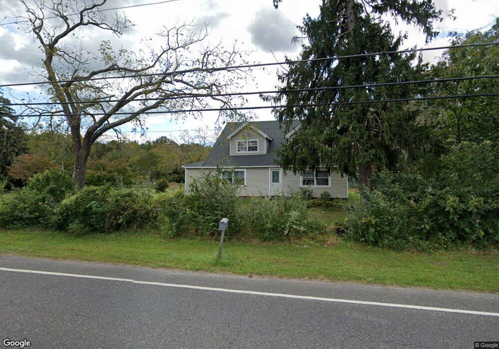
3645 Nesco Rd Hammonton, NJ 08037
Estimated Value: $410,947 - $509,000
3
Beds
2
Baths
2,272
Sq Ft
$200/Sq Ft
Est. Value
About This Home
This home is located at 3645 Nesco Rd, Hammonton, NJ 08037 and is currently estimated at $455,237, approximately $200 per square foot. 3645 Nesco Rd is a home located in Atlantic County with nearby schools including Mullica Township Primary School, Mullica Township Elementary & Middle School, and Cedar Creek High School.
Ownership History
Date
Name
Owned For
Owner Type
Purchase Details
Closed on
Feb 10, 2009
Sold by
3645 Nesco Llc
Bought by
Camp Tami J
Current Estimated Value
Home Financials for this Owner
Home Financials are based on the most recent Mortgage that was taken out on this home.
Original Mortgage
$193,325
Outstanding Balance
$119,807
Interest Rate
5.06%
Mortgage Type
FHA
Estimated Equity
$335,430
Purchase Details
Closed on
Oct 10, 2003
Sold by
Schiereck Joyce
Bought by
3645 Nesco Llc
Purchase Details
Closed on
Aug 6, 1999
Sold by
Watt Chris
Bought by
Schiereck Joyce
Purchase Details
Closed on
Aug 15, 1997
Sold by
Stewart Carolyn E
Bought by
Watt Chris
Create a Home Valuation Report for This Property
The Home Valuation Report is an in-depth analysis detailing your home's value as well as a comparison with similar homes in the area
Home Values in the Area
Average Home Value in this Area
Purchase History
| Date | Buyer | Sale Price | Title Company |
|---|---|---|---|
| Camp Tami J | $210,000 | Commonwealth Land Title Insu | |
| 3645 Nesco Llc | -- | -- | |
| Schiereck Joyce | $55,000 | The Title Company | |
| Watt Chris | $30,000 | Fidelity National Title |
Source: Public Records
Mortgage History
| Date | Status | Borrower | Loan Amount |
|---|---|---|---|
| Open | Camp Tami J | $193,325 |
Source: Public Records
Tax History
| Year | Tax Paid | Tax Assessment Tax Assessment Total Assessment is a certain percentage of the fair market value that is determined by local assessors to be the total taxable value of land and additions on the property. | Land | Improvement |
|---|---|---|---|---|
| 2025 | $5,906 | $171,100 | $34,200 | $136,900 |
| 2024 | $5,829 | $171,100 | $34,200 | $136,900 |
| 2023 | $5,586 | $171,100 | $34,200 | $136,900 |
| 2022 | $5,586 | $171,100 | $34,200 | $136,900 |
| 2021 | $5,355 | $171,100 | $34,200 | $136,900 |
| 2020 | $5,210 | $171,100 | $34,200 | $136,900 |
| 2019 | $5,100 | $171,100 | $34,200 | $136,900 |
| 2018 | $5,204 | $116,100 | $27,800 | $88,300 |
| 2017 | $5,200 | $116,100 | $27,800 | $88,300 |
| 2016 | $4,856 | $115,600 | $27,800 | $87,800 |
| 2015 | $4,602 | $110,100 | $27,800 | $82,300 |
| 2014 | $4,318 | $110,100 | $27,800 | $82,300 |
Source: Public Records
Map
Nearby Homes
- 3502 Richards Ave
- 3100 Neil Rd
- 4528 Indian Cabin Terrace
- 2150 8th Ave
- 4948 Indian Cabin Rd
- 1224 Elwood Rd
- 38 Centennial Dr
- 2125 Weekstown Rd
- 4138 W Adams Cir
- 541 Wharton Park Blvd
- 547 Wharton Park Blvd
- 4160 Anna Dr
- 551 Wharton Park Blvd
- 4179 E Adams Cir
- 4166 Anna Dr
- 1159 Moss Mill Rd
- 2310 5th Ave
- 5237 Pleasant Mills Rd
- 4930 Moss Mill Rd
- 415 S White Horse Pike
Your Personal Tour Guide
Ask me questions while you tour the home.