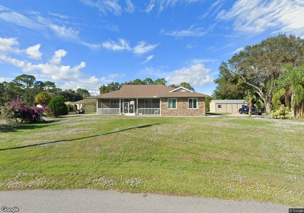
3646 Marshall Rd North Port, FL 34288
Estimated Value: $361,000 - $518,221
3
Beds
2
Baths
2,026
Sq Ft
$218/Sq Ft
Est. Value
About This Home
This home is located at 3646 Marshall Rd, North Port, FL 34288 and is currently estimated at $440,805, approximately $217 per square foot. 3646 Marshall Rd is a home located in Sarasota County with nearby schools including Atwater Elementary School, North Port High School, and Woodland Middle School.
Ownership History
Date
Name
Owned For
Owner Type
Purchase Details
Closed on
May 14, 2024
Sold by
Ragsdale George and Ragsdale George
Bought by
George Ragsdale Jr And Mounira Ragsdale Joint and Ragsdale
Current Estimated Value
Purchase Details
Closed on
Mar 16, 2006
Sold by
Clarke Nigel R and Clarke Patricia M
Bought by
Ragsdale George and Ragsdale Mounira
Home Financials for this Owner
Home Financials are based on the most recent Mortgage that was taken out on this home.
Original Mortgage
$228,000
Interest Rate
6.5%
Mortgage Type
Fannie Mae Freddie Mac
Purchase Details
Closed on
Feb 6, 2004
Sold by
Clifford Rosemary and Clifford Mark
Bought by
Scrutiny Inc
Create a Home Valuation Report for This Property
The Home Valuation Report is an in-depth analysis detailing your home's value as well as a comparison with similar homes in the area
Home Values in the Area
Average Home Value in this Area
Purchase History
| Date | Buyer | Sale Price | Title Company |
|---|---|---|---|
| George Ragsdale Jr And Mounira Ragsdale Joint | $100 | None Listed On Document | |
| Ragsdale George | $285,000 | Chelsea Title Company | |
| Scrutiny Inc | $9,000 | -- |
Source: Public Records
Mortgage History
| Date | Status | Borrower | Loan Amount |
|---|---|---|---|
| Previous Owner | Ragsdale George | $228,000 |
Source: Public Records
Tax History Compared to Growth
Tax History
| Year | Tax Paid | Tax Assessment Tax Assessment Total Assessment is a certain percentage of the fair market value that is determined by local assessors to be the total taxable value of land and additions on the property. | Land | Improvement |
|---|---|---|---|---|
| 2024 | $4,009 | $237,037 | -- | -- |
| 2023 | $4,009 | $230,133 | $0 | $0 |
| 2022 | $3,243 | $187,702 | $0 | $0 |
| 2021 | $3,191 | $182,235 | $0 | $0 |
| 2020 | $3,162 | $179,719 | $0 | $0 |
| 2019 | $2,806 | $163,362 | $0 | $0 |
| 2018 | $2,459 | $150,223 | $0 | $0 |
| 2017 | $1,994 | $127,092 | $0 | $0 |
| 2016 | $1,980 | $173,200 | $6,100 | $167,100 |
| 2015 | $2,005 | $150,400 | $5,700 | $144,700 |
| 2014 | $1,970 | $120,820 | $0 | $0 |
Source: Public Records
Map
Nearby Homes
- 0 Donahue Ave Unit MFRA4662999
- 3530 Adelaide Ave
- 3515 January Ave
- 27 Musgrove St
- 0 Diamond Ave
- 159 Ravenswood Blvd
- 2824 Orchard Cir
- LOT#14 Hillsborough Blvd
- LOT#15 Hillsborough Blvd
- 5221 S San Mateo Dr
- 4862 Kiska Rd
- 4840 Kiska Rd
- 19129 Hillsborough Blvd
- 19145 Hillsborough Blvd
- 0 Burri Ct Unit MFRA4629000
- Lot 11 Burri Ct
- 19051 Stuyvesant Ave
- 3642 Laredo Ave
- 0 Las Almanos Ave Unit MFRC7513750
- 0 Las Almanos Ave Unit MFRA4617877
- 3626 Marshall Rd
- 3569 Donahue Ave
- 3599 Donahue Ave
- 3651 Marshall Rd
- 3659 Donahue Ave
- 3665 Marshall Rd
- 3539 Donahue Ave
- 3676 Marshall Rd
- 3675 Marshall Rd
- 3616 Marshall Rd
- 5300 Newcastle St
- 3509 Donahue Ave
- 3658 Donahue Ave
- 0 Donahue Ave Unit A4212176
- 0 Donahue Ave Unit D5921150
- 0 Donahue Ave Unit MFRN6137279
- 0 Donahue Ave Unit MFRN6137300
- 0 Donahue Ave Unit C7465134
- 0 Donahue Ave Unit D6126149
- 0 Donahue Ave Unit A4479007