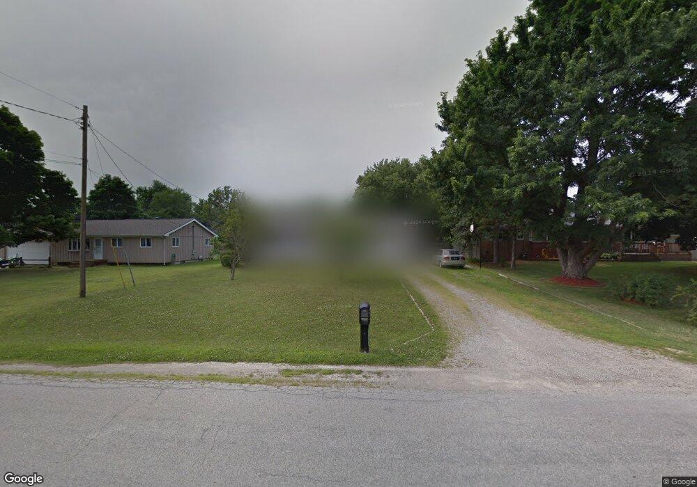
3646 Osburn Dr Tecumseh, MI 49286
Estimated Value: $183,000 - $228,000
3
Beds
1
Bath
950
Sq Ft
$215/Sq Ft
Est. Value
About This Home
This home is located at 3646 Osburn Dr, Tecumseh, MI 49286 and is currently estimated at $204,278, approximately $215 per square foot. 3646 Osburn Dr is a home located in Lenawee County with nearby schools including Tecumseh Middle School, Tecumseh High School, and Lenawee Seventh-Day Adventist School.
Ownership History
Date
Name
Owned For
Owner Type
Purchase Details
Closed on
Jun 2, 2016
Sold by
Sheriff Of Lenawee County
Bought by
Loomis Charles W
Current Estimated Value
Purchase Details
Closed on
Aug 28, 2009
Sold by
Secretary Of Hud
Bought by
Harding Sandra and Harding Douglas
Home Financials for this Owner
Home Financials are based on the most recent Mortgage that was taken out on this home.
Original Mortgage
$66,326
Interest Rate
5.27%
Mortgage Type
New Conventional
Purchase Details
Closed on
Jul 10, 2008
Sold by
Lasalle Bank Midwest Na
Bought by
The Secretary Of Hud
Purchase Details
Closed on
Dec 13, 2007
Sold by
Withrow Wendell and Withrow Carol Lynn
Bought by
Lasalle Bank Midwest Na
Create a Home Valuation Report for This Property
The Home Valuation Report is an in-depth analysis detailing your home's value as well as a comparison with similar homes in the area
Home Values in the Area
Average Home Value in this Area
Purchase History
| Date | Buyer | Sale Price | Title Company |
|---|---|---|---|
| Loomis Charles W | $53,500 | None Available | |
| Harding Sandra | $62,000 | None Available | |
| The Secretary Of Hud | -- | None Available | |
| Lasalle Bank Midwest Na | $131,629 | None Available |
Source: Public Records
Mortgage History
| Date | Status | Borrower | Loan Amount |
|---|---|---|---|
| Previous Owner | Harding Sandra | $66,326 | |
| Closed | Loomis Charles W | $0 |
Source: Public Records
Tax History
| Year | Tax Paid | Tax Assessment Tax Assessment Total Assessment is a certain percentage of the fair market value that is determined by local assessors to be the total taxable value of land and additions on the property. | Land | Improvement |
|---|---|---|---|---|
| 2025 | $2,509 | $84,500 | $0 | $0 |
| 2024 | $20 | $81,900 | $0 | $0 |
| 2022 | $2,315 | $69,500 | $0 | $0 |
| 2021 | $2,365 | $63,600 | $0 | $0 |
| 2020 | $2,332 | $60,000 | $0 | $0 |
| 2019 | $129,466 | $51,900 | $0 | $0 |
| 2018 | $2,323 | $51,876 | $0 | $0 |
| 2017 | $2,256 | $50,078 | $0 | $0 |
| 2016 | $1,463 | $48,695 | $0 | $0 |
| 2014 | -- | $42,478 | $0 | $0 |
Source: Public Records
Map
Nearby Homes
- 4615 Green Hwy
- 2901 Gady Rd
- 2775 Gady Pines Dr
- 2775 Gady Rd
- 2771 Gady Pines Dr
- 2771 Gady Rd
- 6000 Occidental Hwy Unit 6000 Blk Occidental
- 3324 Sutton Rd
- 3284 Sutton Rd
- 4729 Basin St
- 2829 Sutton Rd
- 3421 Gove Dr
- 4259 Haviland Dr
- 4329 Mohawk Trail
- 2000 blk Sutton Rd Unit Parcel B
- 2600 Blk Sutton Rd Unit Parcel C
- 4194 Sauk Trail
- 3811 Torin Ln Unit Parcel G
- 3508 N Wilmoth Hwy
- 2082 Friar Tuck Cir
- 3628 Osburn Dr
- 3610 Osburn Dr
- 3590 Osburn Dr
- 3631 Osburn Dr
- 3619 Osburn Dr
- 3609 Osburn Dr
- 3591 Osburn Dr
- 3599 Westgate Place
- 3615 Westgate Place
- 3631 Westgate Place
- 3647 Westgate Place
- 3663 Westgate Place
- 3679 Westgate Place
- 3699 Westgate Place
- 3588 Westgate Place
- 3600 Westgate Place
- 3612 Westgate Place
- 3624 Westgate Place
- 3636 Westgate Place
- 3648 Westgate Place
Your Personal Tour Guide
Ask me questions while you tour the home.