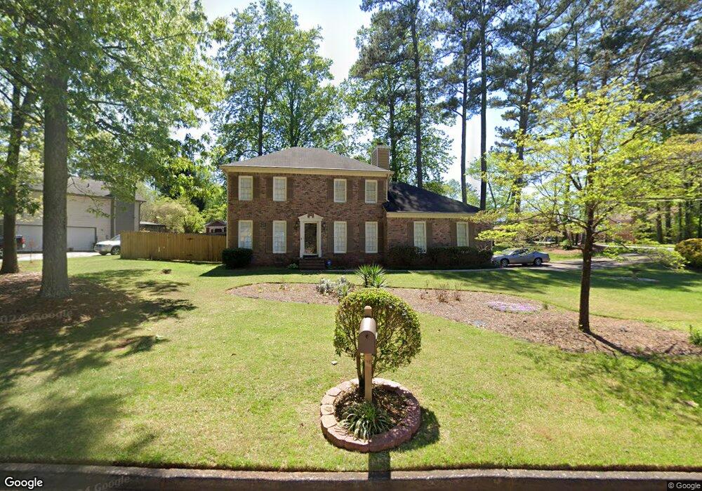
3647 Brandeis Ct Unit 1 Decatur, GA 30034
Southwest DeKalb NeighborhoodEstimated Value: $244,420 - $312,000
4
Beds
3
Baths
1,716
Sq Ft
$170/Sq Ft
Est. Value
About This Home
This home is located at 3647 Brandeis Ct Unit 1, Decatur, GA 30034 and is currently estimated at $291,605, approximately $169 per square foot. 3647 Brandeis Ct Unit 1 is a home located in DeKalb County with nearby schools including Bob Mathis Elementary School, Chapel Hill Middle School, and Southwest Dekalb High School.
Ownership History
Date
Name
Owned For
Owner Type
Purchase Details
Closed on
Jul 14, 2005
Sold by
Harris Kenneth
Bought by
Williams Robert
Current Estimated Value
Home Financials for this Owner
Home Financials are based on the most recent Mortgage that was taken out on this home.
Original Mortgage
$159,737
Outstanding Balance
$82,305
Interest Rate
5.46%
Mortgage Type
VA
Estimated Equity
$209,300
Purchase Details
Closed on
Sep 29, 1995
Sold by
Boston James H Mary H
Bought by
Harris Kenneth
Create a Home Valuation Report for This Property
The Home Valuation Report is an in-depth analysis detailing your home's value as well as a comparison with similar homes in the area
Home Values in the Area
Average Home Value in this Area
Purchase History
| Date | Buyer | Sale Price | Title Company |
|---|---|---|---|
| Williams Robert | $161,000 | -- | |
| Harris Kenneth | $101,500 | -- |
Source: Public Records
Mortgage History
| Date | Status | Borrower | Loan Amount |
|---|---|---|---|
| Open | Williams Robert | $159,737 | |
| Closed | Harris Kenneth | $0 |
Source: Public Records
Tax History Compared to Growth
Tax History
| Year | Tax Paid | Tax Assessment Tax Assessment Total Assessment is a certain percentage of the fair market value that is determined by local assessors to be the total taxable value of land and additions on the property. | Land | Improvement |
|---|---|---|---|---|
| 2024 | $3,573 | $103,360 | $12,000 | $91,360 |
| 2023 | $3,573 | $109,400 | $12,000 | $97,400 |
| 2022 | $3,125 | $91,560 | $12,000 | $79,560 |
| 2021 | $2,634 | $77,280 | $12,000 | $65,280 |
| 2020 | $2,140 | $62,800 | $6,280 | $56,520 |
| 2019 | $1,941 | $57,600 | $6,280 | $51,320 |
| 2018 | $1,613 | $54,800 | $6,280 | $48,520 |
| 2017 | $1,740 | $50,080 | $6,280 | $43,800 |
| 2016 | $1,463 | $43,240 | $6,280 | $36,960 |
| 2014 | $978 | $29,120 | $6,280 | $22,840 |
Source: Public Records
Map
Nearby Homes
- 3683 Brown Dr
- 3826 Brandeis Way
- 3620 Spring Trace
- 3692 Belmont Abbey Dr
- 3700 Harvest Dr
- 3702 Harvest Dr Unit 93
- 3704 Harvest Dr
- 3740 Brown Dr
- 3756 Harvest Dr
- 3777 Harvest Dr
- 3801 Cherry Ridge Blvd
- 3608 Shepherds Path
- 3523 Lehigh Way
- 3515 Shepherds Path
- 3872 Brookside Pkwy Unit 6
- 3865 Lehigh Blvd
- 3878 Brookside Pkwy
- 3633 Emerald Point
- 3664 Hofstra Ct
- 3663 Brandeis Ct
- 3668 Brown Dr
- 3648 Brown Dr
- 3835 Brandeis Ct
- 3656 Brandeis Ct Unit 39
- 3656 Brandeis Ct
- 3673 Brandeis Ct
- 3663 Brown Dr
- 3676 Brown Dr
- 3664 Brandeis Ct
- 3640 Brown Dr
- 3671 Brown Dr
- 3645 Brown Dr
- 3672 Brandeis Ct
- 3815 Brandeis Ct
- 3684 Brown Dr
- 3830 Brandeis Ct
- 3683 Brandeis Ct Unit 1
- 3838 Brandeis Ct
- 3632 Brown Dr