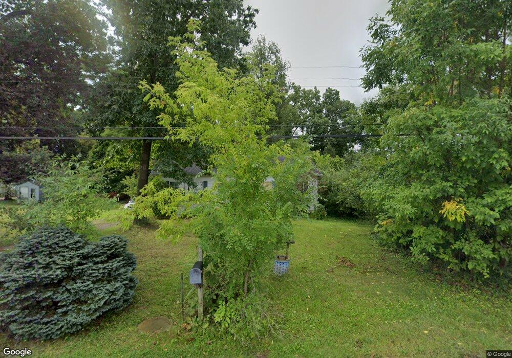
3647 Ford Ave Jackson, MI 49203
Estimated Value: $145,000 - $216,000
3
Beds
2
Baths
1,120
Sq Ft
$165/Sq Ft
Est. Value
About This Home
This home is located at 3647 Ford Ave, Jackson, MI 49203 and is currently estimated at $185,213, approximately $165 per square foot. 3647 Ford Ave is a home located in Jackson County with nearby schools including Arnold Elementary School, Keicher Elementary School, and Michigan Center Junior/Senior High School.
Ownership History
Date
Name
Owned For
Owner Type
Purchase Details
Closed on
Jul 19, 2002
Sold by
Mast Luke and Mast Angela
Bought by
Wolcott Dennis F and Wolcott Connie S
Current Estimated Value
Home Financials for this Owner
Home Financials are based on the most recent Mortgage that was taken out on this home.
Original Mortgage
$80,500
Outstanding Balance
$34,343
Interest Rate
6.8%
Estimated Equity
$150,870
Purchase Details
Closed on
Apr 19, 2002
Sold by
Maitland Corrie L and Maitland Lori A
Bought by
Mast Luke
Purchase Details
Closed on
Oct 1, 1987
Bought by
Maitland
Create a Home Valuation Report for This Property
The Home Valuation Report is an in-depth analysis detailing your home's value as well as a comparison with similar homes in the area
Home Values in the Area
Average Home Value in this Area
Purchase History
| Date | Buyer | Sale Price | Title Company |
|---|---|---|---|
| Wolcott Dennis F | $89,500 | -- | |
| Mast Luke | $7,200 | -- | |
| Maitland | $800 | -- |
Source: Public Records
Mortgage History
| Date | Status | Borrower | Loan Amount |
|---|---|---|---|
| Open | Wolcott Dennis F | $80,500 |
Source: Public Records
Tax History Compared to Growth
Tax History
| Year | Tax Paid | Tax Assessment Tax Assessment Total Assessment is a certain percentage of the fair market value that is determined by local assessors to be the total taxable value of land and additions on the property. | Land | Improvement |
|---|---|---|---|---|
| 2025 | $1,998 | $85,025 | $0 | $0 |
| 2024 | $660 | $73,203 | $0 | $0 |
| 2023 | $628 | $54,785 | $0 | $0 |
| 2022 | $1,340 | $47,201 | $0 | $0 |
| 2021 | $1,160 | $44,664 | $0 | $0 |
| 2020 | $1,532 | $37,993 | $0 | $0 |
| 2019 | $963 | $31,831 | $0 | $0 |
| 2018 | $1,548 | $33,278 | $3,366 | $29,912 |
| 2017 | $1,492 | $32,922 | $0 | $0 |
| 2016 | $534 | $34,474 | $34,474 | $0 |
| 2015 | -- | $29,142 | $29,142 | $0 |
| 2014 | -- | $35,152 | $35,152 | $0 |
| 2013 | -- | $35,152 | $35,152 | $0 |
Source: Public Records
Map
Nearby Homes
- 3628 Ford Ave
- 0 Page Ave Unit 23140008
- 149 Hall St
- 1139 S Dettman Rd
- VL S Sutton Rd
- 240 Stillwell Ave
- VL Stillwell Ave
- 241 Stillwell Ave
- 188 Cherry St
- 698 S Dettman Rd
- 539 S Dettman Rd
- 2718 Page Ave
- 2505 Page Ave
- 221 Grand St
- O Research Dr
- Vl Watts St
- 0 Page Ave Unit 25019979
- 210 Watts Rd
- 114 W Grove Ave
- 2811 S Meridian Rd
- 3665 Ford Ave
- 3633 Ford Ave
- 3669 Ford Ave
- 3629 Ford Ave
- 3675 Ford Ave
- 3681 Ford Ave
- 3627 Ford Ave
- 1263 Lamoine St
- 1248 Falahee Rd
- 3623 Ford Ave
- 1242 Falahee Rd
- 1236 Falahee Rd
- 3625 Ford Ave
- 1221 Lamoine St
- 0 Lamoine St
- 1252 Lamoine St
- 1280 Falahee Rd
- 1246 Lamoine St
- 1246 Lamoine St Unit 1246 Lamoine St
- 1238 Lamoine St