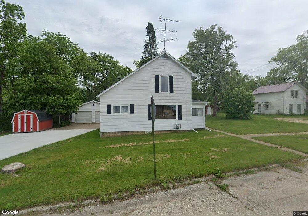
36474 Abrams St Whitehall, WI 54773
Estimated Value: $125,931 - $205,000
Studio
--
Bath
--
Sq Ft
26,267
Sq Ft Lot
About This Home
This home is located at 36474 Abrams St, Whitehall, WI 54773 and is currently estimated at $168,733. 36474 Abrams St is a home located in Trempealeau County with nearby schools including Whitehall Memorial Elementary School, Whitehall Memorial Jr./Sr. High School, and Fly Creek Amish School.
Ownership History
Date
Name
Owned For
Owner Type
Purchase Details
Closed on
Jun 8, 2018
Sold by
Stendahl Janice G
Bought by
Stendahl Adam T
Current Estimated Value
Home Financials for this Owner
Home Financials are based on the most recent Mortgage that was taken out on this home.
Original Mortgage
$70,300
Outstanding Balance
$60,282
Interest Rate
4.5%
Mortgage Type
Purchase Money Mortgage
Estimated Equity
$108,451
Create a Home Valuation Report for This Property
The Home Valuation Report is an in-depth analysis detailing your home's value as well as a comparison with similar homes in the area
Purchase History
| Date | Buyer | Sale Price | Title Company |
|---|---|---|---|
| Stendahl Adam T | -- | -- |
Source: Public Records
Mortgage History
| Date | Status | Borrower | Loan Amount |
|---|---|---|---|
| Open | Stendahl Adam T | $70,300 |
Source: Public Records
Tax History
| Year | Tax Paid | Tax Assessment Tax Assessment Total Assessment is a certain percentage of the fair market value that is determined by local assessors to be the total taxable value of land and additions on the property. | Land | Improvement |
|---|---|---|---|---|
| 2025 | $1,810 | $95,300 | $10,600 | $84,700 |
| 2024 | $1,787 | $95,300 | $10,600 | $84,700 |
| 2023 | $1,652 | $95,300 | $10,600 | $84,700 |
| 2022 | $1,700 | $95,300 | $10,600 | $84,700 |
| 2021 | $2,281 | $86,400 | $8,800 | $77,600 |
| 2020 | $2,263 | $16,560 | $8,800 | $7,760 |
| 2019 | $2,184 | $86,400 | $8,800 | $77,600 |
| 2018 | $2,148 | $86,400 | $8,800 | $77,600 |
| 2017 | $2,100 | $86,400 | $8,800 | $77,600 |
| 2016 | $2,028 | $86,400 | $8,800 | $77,600 |
| 2015 | $1,974 | $86,400 | $8,800 | $77,600 |
| 2014 | $1,867 | $86,400 | $8,800 | $77,600 |
| 2011 | $1,430 | $59,500 | $8,000 | $51,500 |
Source: Public Records
Map
Nearby Homes
- 36180 Main St Unit 1 & 2
- 36015 Main St
- 36180 Main St
- 18957 Dewey St
- 18731 Dewey St
- 18654 Hobson St
- 18251 Clark St
- 18191 Hopkins St
- 36389 Elm St
- xxx County Road D
- 37508 Haug Rd
- Pine Ferguson St
- 0 Wisconsin 121
- 36174 Willow Ct
- 23325 Cherrywood St
- 36164 Willow Ct
- 36196 Willow Ct
- 36134 Willow Ct
- 36193 Willow Ct
- 36179 Willow Ct
- 36123 Abrams St
- 36356 Abrams St
- 36423 Abrams St
- 36481 Abrams St
- 36495 Abrams St
- 36434 Abrams St
- 18453 Scranton St
- 18407 Scranton St
- 18461 Scranton St
- 18463 Scranton St
- 18470 Scranton St
- 18462 Dodge St
- 18382 Dodge St
- 18412 Dodge St
- 18412 Dodge St Unit 3
- 36348 Main St
- 0 Scranton St
- Lot 1 Scranton St
- 18475 Dodge St
- 36442 Abrams St
Your Personal Tour Guide
Ask me questions while you tour the home.