365 1/2 S Main Ave Kankakee, IL 60901
Estimated Value: $89,529 - $138,000
2
Beds
1
Bath
645
Sq Ft
$170/Sq Ft
Est. Value
About This Home
This home is located at 365 1/2 S Main Ave, Kankakee, IL 60901 and is currently estimated at $109,882, approximately $170 per square foot. 365 1/2 S Main Ave is a home located in Kankakee County with nearby schools including Kennedy Middle Grade School, Taft Primary School, and Kankakee Junior High School.
Ownership History
Date
Name
Owned For
Owner Type
Purchase Details
Closed on
May 11, 2021
Sold by
Michael Palmateer
Bought by
Cobb Rentals Lc
Current Estimated Value
Home Financials for this Owner
Home Financials are based on the most recent Mortgage that was taken out on this home.
Original Mortgage
$72,000
Interest Rate
2.7%
Mortgage Type
New Conventional
Purchase Details
Closed on
Mar 15, 2021
Sold by
Michael Palmateer
Bought by
Cobb Rentals Llc
Home Financials for this Owner
Home Financials are based on the most recent Mortgage that was taken out on this home.
Original Mortgage
$72,000
Interest Rate
2.7%
Mortgage Type
New Conventional
Create a Home Valuation Report for This Property
The Home Valuation Report is an in-depth analysis detailing your home's value as well as a comparison with similar homes in the area
Home Values in the Area
Average Home Value in this Area
Purchase History
| Date | Buyer | Sale Price | Title Company |
|---|---|---|---|
| Cobb Rentals Lc | -- | Fidelity National Title | |
| Cobb Rentals Llc | $90,000 | Fidelity National Title |
Source: Public Records
Mortgage History
| Date | Status | Borrower | Loan Amount |
|---|---|---|---|
| Previous Owner | Cobb Rentals Llc | $72,000 |
Source: Public Records
Tax History Compared to Growth
Tax History
| Year | Tax Paid | Tax Assessment Tax Assessment Total Assessment is a certain percentage of the fair market value that is determined by local assessors to be the total taxable value of land and additions on the property. | Land | Improvement |
|---|---|---|---|---|
| 2024 | $3,019 | $25,537 | $3,662 | $21,875 |
| 2023 | $2,909 | $22,750 | $3,262 | $19,488 |
| 2022 | $2,706 | $19,912 | $2,855 | $17,057 |
| 2021 | $2,554 | $18,020 | $2,584 | $15,436 |
| 2020 | $2,369 | $16,198 | $2,323 | $13,875 |
| 2019 | $2,258 | $15,068 | $2,161 | $12,907 |
| 2018 | $2,174 | $13,952 | $2,001 | $11,951 |
| 2017 | $2,435 | $13,645 | $1,957 | $11,688 |
| 2016 | $2,282 | $13,378 | $1,919 | $11,459 |
| 2015 | $2,204 | $13,651 | $1,958 | $11,693 |
| 2014 | $2,360 | $15,168 | $1,958 | $13,210 |
| 2013 | -- | $15,800 | $2,040 | $13,760 |
Source: Public Records
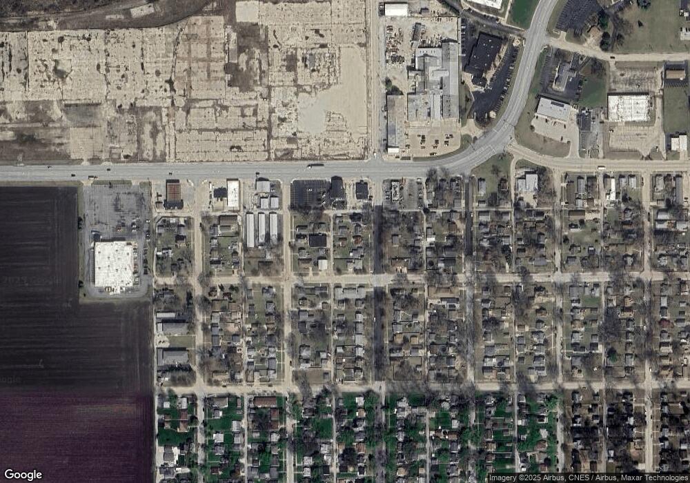
Map
Nearby Homes
- 420 S Foley Ave
- 455 S Main Ave
- 594 S Main Ave
- 1442 W Budd Blvd
- 832 S Cheryl Ln
- 842 S Main Ave
- 824 S Mckinley Ave
- 545 S May Ave
- 242 S Fraser Ave
- 1117 W Station St
- 1119 S Curtis Ave Unit F64
- 1100 W Hawkins St
- 456 S Wall St
- 1088 W Walnut St
- 655 S Wall St
- 945 Stone St
- 957 S 7th Ave
- 665 N Kennedy Dr
- 556 N 10th Ave
- 1054 S 7th Ave
- 365 S Main Ave
- 355 S Main Ave
- 375 S Main Ave
- 345 S Main Ave
- 395 S Main Ave
- 356 S Main Ave
- 396 S Main Ave
- 342 S Main Ave
- 362 S Main Ave
- 2110 W Hickory St Unit 30
- 372 S Foley Ave
- 348 S Foley Ave
- 2175 W Hickory St
- 354 1/2 S Foley Ave
- 380 S Main Ave
- 354 S Foley Ave
- 421 S Main Ave
- 412 S Main Ave
- 2180 W Hickory St
- 2000 W Station St