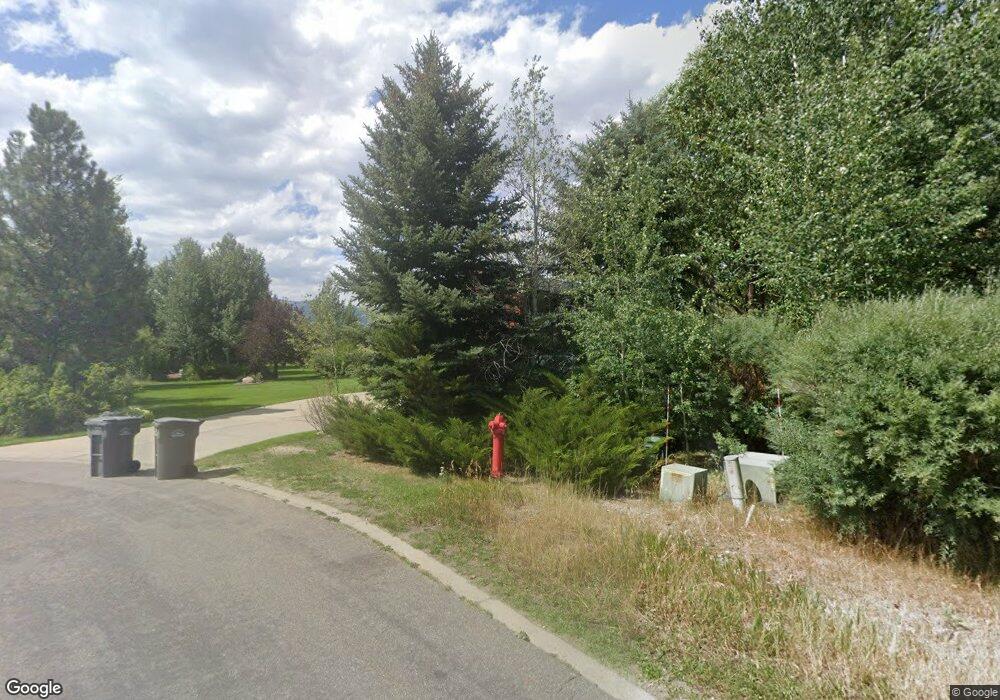
365 Arapahoe Ln Jackson, WY 83001
Estimated Value: $2,744,029 - $3,363,000
3
Beds
3
Baths
2,910
Sq Ft
$1,051/Sq Ft
Est. Value
About This Home
This home is located at 365 Arapahoe Ln, Jackson, WY 83001 and is currently estimated at $3,059,343, approximately $1,051 per square foot. 365 Arapahoe Ln is a home located in Teton County with nearby schools including Colter Elementary School, Jackson Hole Middle School, and Jackson Hole High School.
Ownership History
Date
Name
Owned For
Owner Type
Purchase Details
Closed on
May 14, 2009
Sold by
Ingold Judy M and Kortum Susan
Bought by
Rossington Gary and Rossington Dale K
Current Estimated Value
Home Financials for this Owner
Home Financials are based on the most recent Mortgage that was taken out on this home.
Original Mortgage
$625,500
Outstanding Balance
$393,286
Interest Rate
4.76%
Mortgage Type
New Conventional
Estimated Equity
$2,666,057
Purchase Details
Closed on
Jun 4, 2008
Sold by
Ingold Edward G
Bought by
Ingold Judy M and Kortum Susan
Create a Home Valuation Report for This Property
The Home Valuation Report is an in-depth analysis detailing your home's value as well as a comparison with similar homes in the area
Home Values in the Area
Average Home Value in this Area
Purchase History
| Date | Buyer | Sale Price | Title Company |
|---|---|---|---|
| Rossington Gary | -- | Wyoming Title & Escrow | |
| Ingold Judy M | -- | None Available |
Source: Public Records
Mortgage History
| Date | Status | Borrower | Loan Amount |
|---|---|---|---|
| Open | Rossington Gary | $625,500 |
Source: Public Records
Tax History Compared to Growth
Tax History
| Year | Tax Paid | Tax Assessment Tax Assessment Total Assessment is a certain percentage of the fair market value that is determined by local assessors to be the total taxable value of land and additions on the property. | Land | Improvement |
|---|---|---|---|---|
| 2025 | $13,841 | $232,850 | $107,277 | $125,573 |
| 2024 | $13,841 | $246,731 | $113,672 | $133,059 |
| 2023 | $13,474 | $239,629 | $111,688 | $127,941 |
| 2022 | $11,606 | $207,336 | $111,688 | $95,648 |
| 2021 | $7,455 | $130,836 | $51,300 | $79,536 |
| 2020 | $6,353 | $113,489 | $49,875 | $63,614 |
| 2019 | $6,236 | $109,304 | $51,647 | $57,657 |
| 2018 | $6,143 | $108,238 | $52,435 | $55,803 |
| 2017 | $5,558 | $95,907 | $49,833 | $46,074 |
| 2016 | $5,196 | $89,656 | $52,071 | $37,585 |
| 2015 | $3,927 | $75,865 | $33,392 | $42,473 |
| 2014 | $3,927 | $67,871 | $45,743 | $22,128 |
| 2013 | $3,927 | $67,871 | $45,743 | $22,128 |
Source: Public Records
Map
Nearby Homes
- 360 Arapahoe Ln
- 855 2244
- 1255 Allen Way
- 1874 Josephine Loop
- 1090 Bluffs Dr
- 3050 Whitehouse Dr
- 2057 Corner Creek Ln Unit 2
- 265 Crabtree Ln
- 1040 Smith Ln Unit 46
- 2176 Corner Creek Ln Unit C
- 826 Powderhorn Ln Unit C
- 1055 Maple Way Unit 32
- 1070 Elk Run Ln Unit 5
- 1023 Budge Dr
- 2122 Hidden Ranch Ln
- 400 Red Tail Butte Rd
- 855 W Broadway Ave
- 3375 W Killdeer Rd
- 1400&1450 S Hwy 89
- 55 Virginian Ln Unit 55-2
- 375 Arapahoe Ln
- 355 Arapahoe Ln
- 350 Arapahoe Ln
- 380 Arapahoe Ln
- 370 Arapahoe Ln
- 385 Arapahoe Ln
- 460 Cherokee Ln
- 465 Arapahoe Ln
- 470 Arapahoe Ln
- 475 Trails End
- 545 Trails End
- 480 Arapahoe Ln
- 485 Arapahoe Ln
- 465 Trails End
- 535 Trails End
- 490 Arapahoe Ln
- 555 Trails End
- 450 Trails End
- 565 Trails End
- 2200 State Highway 22
