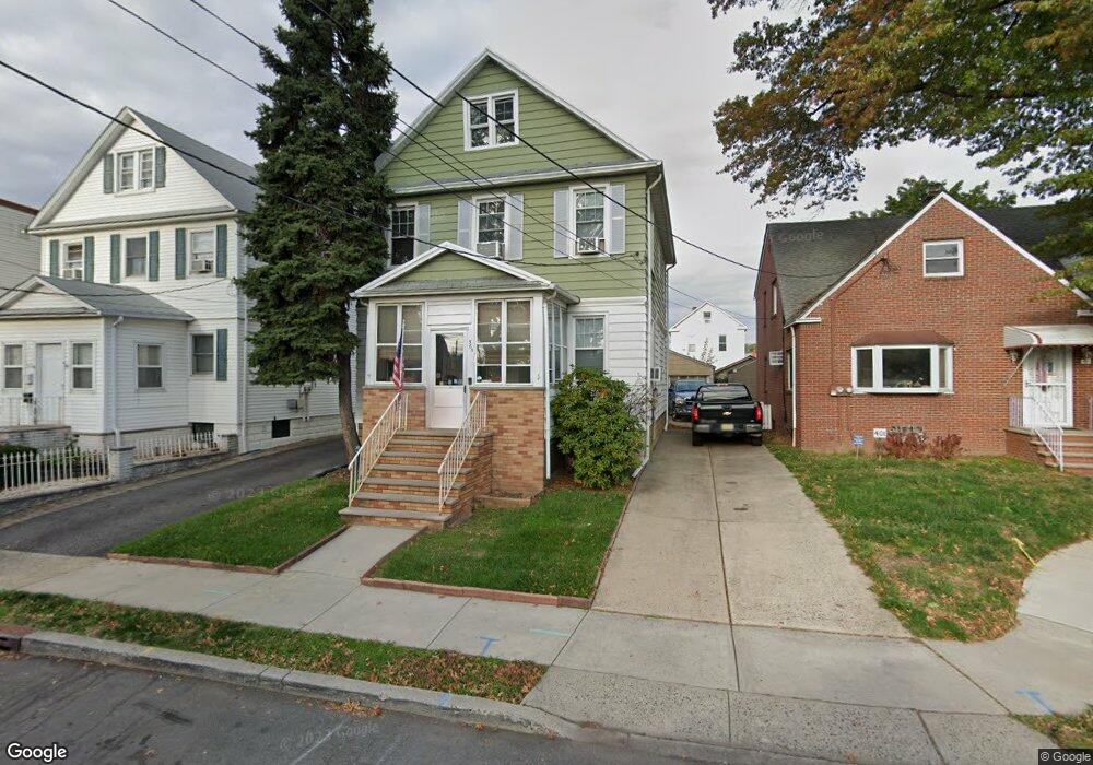
365 Ashton Ave Linden, NJ 07036
Estimated Value: $457,000 - $635,000
--
Bed
--
Bath
1,792
Sq Ft
$291/Sq Ft
Est. Value
About This Home
This home is located at 365 Ashton Ave, Linden, NJ 07036 and is currently estimated at $521,860, approximately $291 per square foot. 365 Ashton Ave is a home located in Union County with nearby schools including School No. 4, Joseph E. Soehl Middle School, and Linden High School.
Ownership History
Date
Name
Owned For
Owner Type
Purchase Details
Closed on
Mar 18, 1999
Sold by
Hemmings Eileen and Rhein Mary Rose
Bought by
Rhein Gary
Current Estimated Value
Home Financials for this Owner
Home Financials are based on the most recent Mortgage that was taken out on this home.
Original Mortgage
$96,000
Outstanding Balance
$23,393
Interest Rate
6.83%
Mortgage Type
Purchase Money Mortgage
Estimated Equity
$498,467
Create a Home Valuation Report for This Property
The Home Valuation Report is an in-depth analysis detailing your home's value as well as a comparison with similar homes in the area
Home Values in the Area
Average Home Value in this Area
Purchase History
| Date | Buyer | Sale Price | Title Company |
|---|---|---|---|
| Rhein Gary | $120,000 | Old Republic Natl Title Ins |
Source: Public Records
Mortgage History
| Date | Status | Borrower | Loan Amount |
|---|---|---|---|
| Open | Rhein Gary | $96,000 |
Source: Public Records
Tax History Compared to Growth
Tax History
| Year | Tax Paid | Tax Assessment Tax Assessment Total Assessment is a certain percentage of the fair market value that is determined by local assessors to be the total taxable value of land and additions on the property. | Land | Improvement |
|---|---|---|---|---|
| 2025 | $9,774 | $139,000 | $40,700 | $98,300 |
| 2024 | $9,560 | $139,000 | $40,700 | $98,300 |
| 2023 | $9,560 | $139,000 | $40,700 | $98,300 |
| 2022 | $9,610 | $139,000 | $40,700 | $98,300 |
| 2021 | $9,659 | $139,000 | $40,700 | $98,300 |
| 2020 | $9,608 | $139,000 | $40,700 | $98,300 |
| 2019 | $9,576 | $139,000 | $40,700 | $98,300 |
| 2018 | $9,573 | $139,000 | $40,700 | $98,300 |
| 2017 | $9,366 | $139,000 | $40,700 | $98,300 |
| 2016 | $9,071 | $139,000 | $40,700 | $98,300 |
| 2015 | $8,725 | $139,000 | $40,700 | $98,300 |
| 2014 | $8,555 | $139,000 | $40,700 | $98,300 |
Source: Public Records
Map
Nearby Homes
- 2408 E Edgar Rd
- 633 Meacham Ave
- 738 Edgar Rd
- 719 Meacham Ave
- 859 Bayway Cir Unit 861
- 828 Summer St
- 842 Gibbons Ct
- 752 Fairbanks St Unit 4
- 831 Gibbons Ct
- 857 Garden St
- 2132 Alberta Ave
- 727 Bonnett St Unit 2
- 836 S Park Ave
- 850 S Park Ave
- 715 Summer St Unit 2
- 308 Hagel Ave
- 761 Cedar Ave
- 706 Cedar Ave Unit 710
- 2506 S Broad St
- 756 S Broad St Unit 2
- 361 Ashton Ave
- 361 Ashton Ave Unit 2
- 401 Ashton Ave
- 335 Ashton Ave
- 928 Spofford Ave
- 926 Spofford Ave
- 2521 Urbanowitz Ave
- 930 Spofford Ave Unit 932
- 924 Spofford Ave
- 331 Ashton Ave
- 331 Ashton Ave Unit 2
- 331 Ashton Ave Unit 1
- 332 Ashton Ave
- 934 Spofford Ave
- 329 Ashton Ave
- 329 Ashton Ave Unit 2R
- 329 Ashton Ave Unit 1 A
- 2531 Urbanowitz Ave
- 936 Spofford Ave
- 2425 Urbanowitz Ave