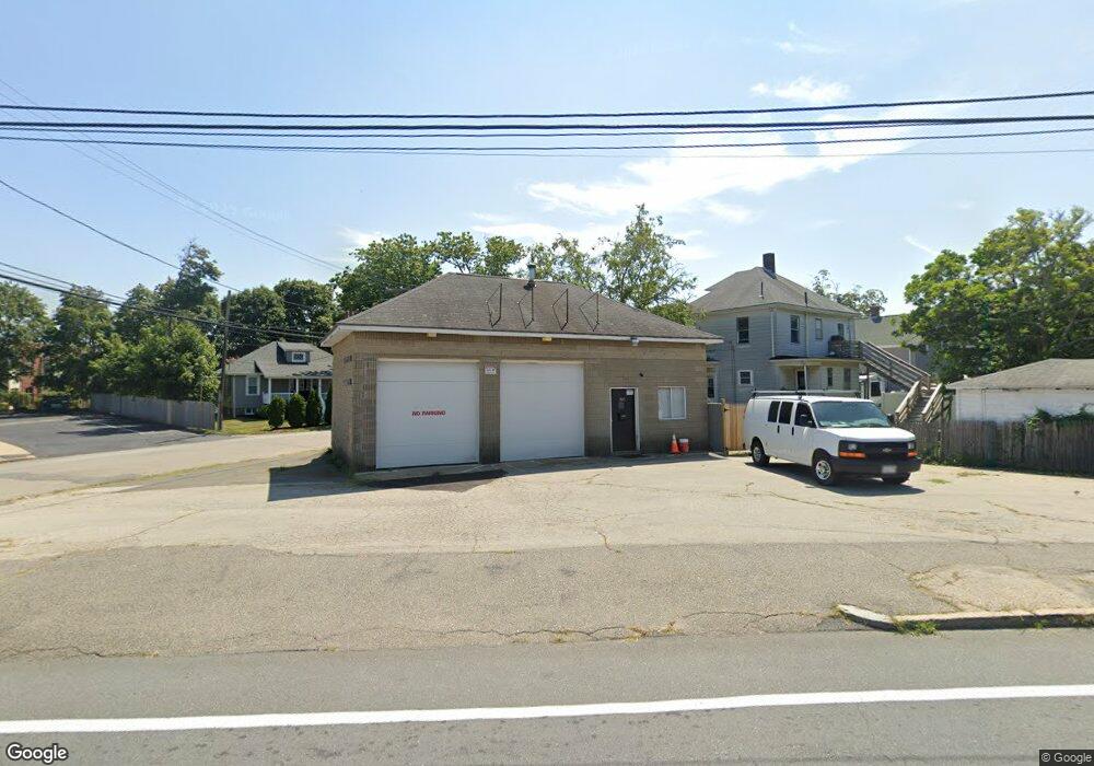
365 Bridge St Weymouth, MA 02191
North Weymouth Neighborhood
--
Bed
1
Bath
960
Sq Ft
6,098
Sq Ft Lot
About This Home
This home is located at 365 Bridge St, Weymouth, MA 02191. 365 Bridge St is a home located in Norfolk County with nearby schools including Wessagusset Elementary School, Abigail Adams Middle School, and Weymouth Middle School Chapman.
Ownership History
Date
Name
Owned For
Owner Type
Purchase Details
Closed on
Feb 9, 2010
Sold by
269 Hyde Park Ave Rt
Bought by
365 Bridge Street Rt and Brewster Fmly Land T L
Purchase Details
Closed on
Nov 1, 1990
Sold by
Ditullio Peter F
Bought by
Brewster George
Create a Home Valuation Report for This Property
The Home Valuation Report is an in-depth analysis detailing your home's value as well as a comparison with similar homes in the area
Home Values in the Area
Average Home Value in this Area
Purchase History
| Date | Buyer | Sale Price | Title Company |
|---|---|---|---|
| 365 Bridge Street Rt | -- | -- | |
| Brewster George | $60,000 | -- |
Source: Public Records
Mortgage History
| Date | Status | Borrower | Loan Amount |
|---|---|---|---|
| Open | Brewster George | $3,745,000 |
Source: Public Records
Tax History Compared to Growth
Tax History
| Year | Tax Paid | Tax Assessment Tax Assessment Total Assessment is a certain percentage of the fair market value that is determined by local assessors to be the total taxable value of land and additions on the property. | Land | Improvement |
|---|---|---|---|---|
| 2025 | $4,563 | $285,700 | $184,100 | $101,600 |
| 2024 | $4,451 | $273,600 | $175,300 | $98,300 |
| 2023 | $4,300 | $260,600 | $167,000 | $93,600 |
| 2022 | $4,384 | $238,800 | $156,000 | $82,800 |
| 2021 | $4,305 | $234,100 | $151,500 | $82,600 |
| 2020 | $4,439 | $237,400 | $151,500 | $85,900 |
| 2019 | $4,361 | $228,900 | $145,600 | $83,300 |
| 2018 | $4,148 | $210,900 | $131,900 | $79,000 |
| 2017 | $4,131 | $204,500 | $128,100 | $76,400 |
| 2016 | $4,239 | $200,800 | $123,100 | $77,700 |
| 2015 | $4,439 | $199,600 | $123,100 | $76,500 |
| 2014 | $4,275 | $197,000 | $121,200 | $75,800 |
Source: Public Records
Map
Nearby Homes
- 14 Crescent Rd
- 55 Blackstone Rd
- 137 Wessagussett Rd
- 41 Pecksuot Rd
- 104 Kings Cove Beach Rd
- 65 Saning Rd
- 59 Katherine St
- 79 Bicknell St
- 320 Green St
- 70 Biscayne Ave
- 109 Merryknoll Rd
- 43 Flint Locke Dr
- 129 Audubon Ave
- 38 Idlewell St
- 669 Commercial St
- 15 1st St
- 62 Lawn Ave
- 20 Richards Rd
- 16 Caldwell St
- 116 Gordon Rd
- 15 Standish St
- 19 Standish St
- 10 Standish St
- 21 Standish St
- 14 Standish St
- 360 Bridge St Unit For Lease
- 20 Standish St
- 25 Standish St
- 26 Standish St
- 29 Standish St
- 16 Newton St
- 352 Bridge St
- 30 Standish St
- 33 Standish St
- 395 Bridge St
- 32 Standish St Unit 34
- 27 Newton St
- 37 Standish St
- 15 Pratt Ave Unit 17
- 15-17 Pratt Ave