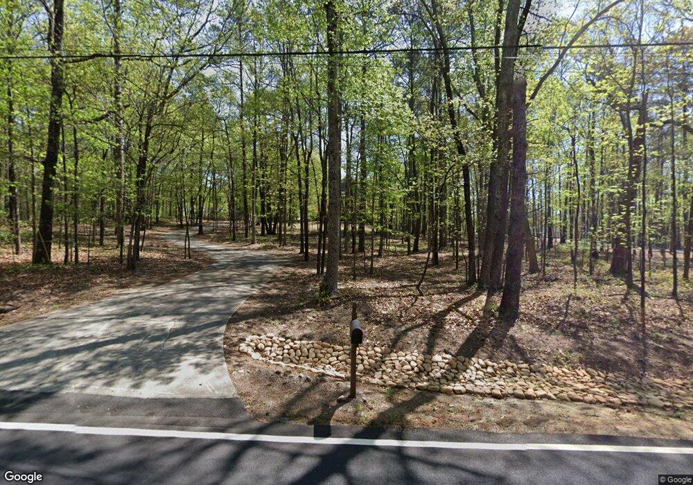
365 Brinkley Rd Powder Springs, GA 30127
West Cobb NeighborhoodEstimated Value: $604,000 - $749,000
3
Beds
5
Baths
2,760
Sq Ft
$252/Sq Ft
Est. Value
About This Home
This home is located at 365 Brinkley Rd, Powder Springs, GA 30127 and is currently estimated at $695,116, approximately $251 per square foot. 365 Brinkley Rd is a home located in Cobb County with nearby schools including Vaughan Elementary School, Lost Mountain Middle School, and Harrison High School.
Ownership History
Date
Name
Owned For
Owner Type
Purchase Details
Closed on
Aug 17, 2001
Sold by
Flower John L and Flower Doreen K
Bought by
Grizzle M A and Grizzle Tracy A
Current Estimated Value
Home Financials for this Owner
Home Financials are based on the most recent Mortgage that was taken out on this home.
Original Mortgage
$275,000
Outstanding Balance
$106,363
Interest Rate
7.19%
Mortgage Type
New Conventional
Estimated Equity
$588,753
Create a Home Valuation Report for This Property
The Home Valuation Report is an in-depth analysis detailing your home's value as well as a comparison with similar homes in the area
Home Values in the Area
Average Home Value in this Area
Purchase History
| Date | Buyer | Sale Price | Title Company |
|---|---|---|---|
| Grizzle M A | $377,500 | -- |
Source: Public Records
Mortgage History
| Date | Status | Borrower | Loan Amount |
|---|---|---|---|
| Open | Grizzle M A | $275,000 |
Source: Public Records
Tax History Compared to Growth
Tax History
| Year | Tax Paid | Tax Assessment Tax Assessment Total Assessment is a certain percentage of the fair market value that is determined by local assessors to be the total taxable value of land and additions on the property. | Land | Improvement |
|---|---|---|---|---|
| 2025 | $8,534 | $283,240 | $118,000 | $165,240 |
| 2024 | $8,540 | $283,240 | $118,000 | $165,240 |
| 2023 | $7,479 | $248,060 | $110,000 | $138,060 |
| 2022 | $6,277 | $206,832 | $88,000 | $118,832 |
| 2021 | $6,277 | $206,832 | $88,000 | $118,832 |
| 2020 | $5,259 | $173,288 | $72,000 | $101,288 |
| 2019 | $5,259 | $173,288 | $72,000 | $101,288 |
| 2018 | $4,857 | $160,048 | $66,000 | $94,048 |
| 2017 | $4,601 | $160,048 | $66,000 | $94,048 |
| 2016 | $4,199 | $146,048 | $52,000 | $94,048 |
| 2015 | $3,927 | $133,284 | $50,000 | $83,284 |
| 2014 | $3,960 | $133,284 | $0 | $0 |
Source: Public Records
Map
Nearby Homes
- The Evans Plan at Montview Estates
- The Pinehurst Plan at Montview Estates
- The Brooks Plan at Montview Estates
- The Dillard Plan at Montview Estates
- 329 Mont Harmony Rd SW
- 61 Maxie Ln
- 675 Crest Line Trail
- 679 Crest Line Trail
- 683 Crest Line Trail
- 247 Rockledge Bend SW
- 671 Crest Line Trail
- 668 Crest Line Trail
- 684 Crest Line Trail
- 251 Rockledge Bend
- 54 Mildred Ct
- Woodward Plan at Ashworth Estates
- Continental Plan at Ashworth Estates
- Riverton Plan at Ashworth Estates
- Fieldcrest Plan at Ashworth Estates
- 711 Crest Line Trail
- 345 Brinkley Rd
- 355 Brinkley Rd
- 379 Brinkley Rd
- 375 Brinkley Rd
- 5765 Cook Rd
- 003 Brinkley Rd
- 389 Brinkley Rd
- 00 Brinkley Rd
- 0 Brinkley Rd Unit 7233355
- 0 Brinkley Rd Unit 7206903
- 0 Brinkley Rd Unit 7145354
- 0 Brinkley Rd Unit 8244162
- 0 Brinkley Rd Unit 7260090
- 0 Brinkley Rd Unit 7213062
- 0 Brinkley Rd Unit 7324742
- 0 Brinkley Rd Unit 7125753
- 0 Brinkley Rd Unit 7063846
- 0 Brinkley Rd Unit 8304270
- 399 Brinkley Rd
- 590 Brinkley Rd
