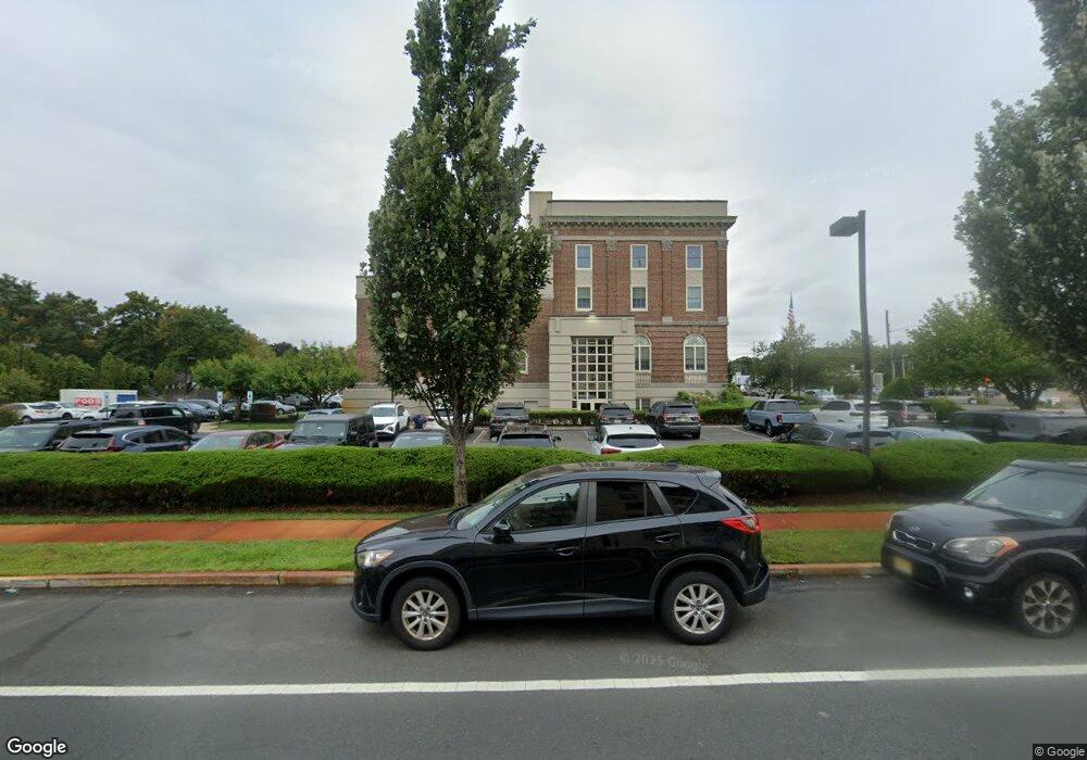
365 Broad St Unit 10 Red Bank, NJ 07701
Estimated Value: $564,000 - $660,000
--
Bed
--
Bath
1,845
Sq Ft
$338/Sq Ft
Est. Value
About This Home
This home is located at 365 Broad St Unit 10, Red Bank, NJ 07701 and is currently estimated at $624,459, approximately $338 per square foot. 365 Broad St Unit 10 is a home located in Monmouth County with nearby schools including Red Bank Primary School, Red Bank Middle School, and Red Bank Regional High School.
Ownership History
Date
Name
Owned For
Owner Type
Purchase Details
Closed on
Aug 13, 2018
Sold by
Binns Joseph
Bought by
365 Broad 3Rd Floor Llc
Current Estimated Value
Purchase Details
Closed on
May 29, 2018
Sold by
Landmarkers Llc
Bought by
Binns Joseph
Purchase Details
Closed on
Dec 15, 2005
Sold by
Carotenuto Samuel
Bought by
Landmarkers Llc
Create a Home Valuation Report for This Property
The Home Valuation Report is an in-depth analysis detailing your home's value as well as a comparison with similar homes in the area
Home Values in the Area
Average Home Value in this Area
Purchase History
| Date | Buyer | Sale Price | Title Company |
|---|---|---|---|
| 365 Broad 3Rd Floor Llc | -- | Trident Abstract Title | |
| Binns Joseph | $255,000 | Trident Abstract Title Agenc | |
| Landmarkers Llc | $500,000 | -- |
Source: Public Records
Tax History Compared to Growth
Tax History
| Year | Tax Paid | Tax Assessment Tax Assessment Total Assessment is a certain percentage of the fair market value that is determined by local assessors to be the total taxable value of land and additions on the property. | Land | Improvement |
|---|---|---|---|---|
| 2025 | $9,675 | $526,400 | $225,000 | $301,400 |
| 2024 | $9,675 | $514,300 | $225,000 | $289,300 |
| 2023 | $9,675 | $506,300 | $225,000 | $281,300 |
| 2022 | $10,516 | $494,200 | $225,000 | $269,200 |
| 2021 | $10,516 | $470,100 | $225,000 | $245,100 |
| 2020 | $10,194 | $448,700 | $225,000 | $223,700 |
| 2019 | $9,773 | $442,000 | $225,000 | $217,000 |
| 2018 | $9,492 | $434,000 | $225,000 | $209,000 |
| 2017 | $9,128 | $432,600 | $225,000 | $207,600 |
| 2016 | $9,003 | $427,300 | $225,000 | $202,300 |
| 2015 | $9,378 | $461,300 | $152,200 | $309,100 |
| 2014 | $8,825 | $461,300 | $152,200 | $309,100 |
Source: Public Records
Map
Nearby Homes
- 17 Leroy Place Unit 3B
- 17 Leroy Place Unit 2B
- 199 Pinckney Rd
- 59 Leroy Place
- 82 Patterson Ave
- 70 Hudson Ave
- 58 Hudson Ave
- 3 Cedar Crossing
- 48 Hudson Ave
- 44 Hudson Ave
- 23 Cedar Crossing
- 1 George St
- 39 Sunset Ave E
- 55 Spruce Dr
- 24 Cedar Crossing
- 59 Peters Place
- 19 Sunset Ave E
- 82 Linden Place
- 4 Manor Dr
- 32 Woodbine Ave
- 365 Broad St Unit 11
- 27 Pinckney Rd
- 26 Garfield Place
- 395 Broad St
- 34 Garfield Place
- 31 Pinckney Rd
- 335 Broad St Unit 30
- 345 Broad St Unit 2
- 345 Broad St Unit 1
- 25 Garfield Place
- 368 Broad St
- 16 Pinckney Rd
- 22 Pinckney Rd Unit B
- 22 Pinckney Rd Unit C
- 38 Garfield Place
- 27 Garfield Place
- 35 Pinckney Rd
- 24 Pinckney Rd Unit A
- 24 Pinckney Rd Unit C
- 26 Pinckney Rd Unit D