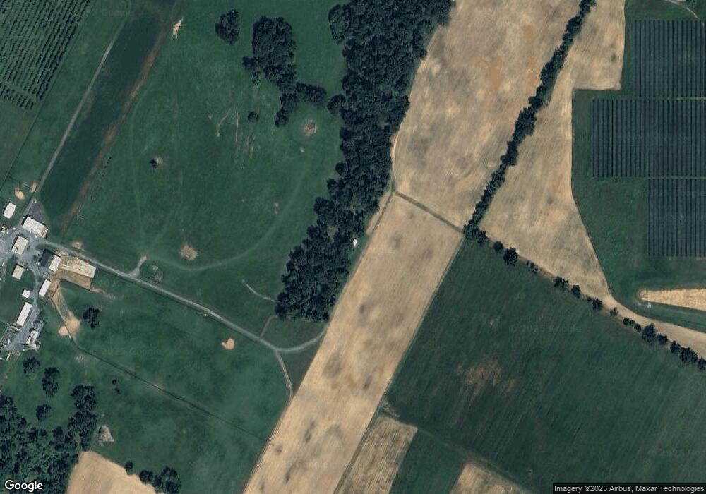
365 Carson Ln Stephens City, VA 22655
Estimated Value: $1,273,000 - $1,703,707
4
Beds
5
Baths
5,103
Sq Ft
$292/Sq Ft
Est. Value
About This Home
This home is located at 365 Carson Ln, Stephens City, VA 22655 and is currently estimated at $1,488,354, approximately $291 per square foot. 365 Carson Ln is a home located in Frederick County with nearby schools including Middletown Elementary School, Robert E. Aylor Middle School, and Sherando High School.
Ownership History
Date
Name
Owned For
Owner Type
Purchase Details
Closed on
Jun 6, 2022
Sold by
Springwood Farms Llc
Bought by
Springwood Farms Llc
Current Estimated Value
Home Financials for this Owner
Home Financials are based on the most recent Mortgage that was taken out on this home.
Original Mortgage
$650,000
Outstanding Balance
$617,596
Interest Rate
5.27%
Mortgage Type
New Conventional
Estimated Equity
$870,758
Purchase Details
Closed on
Dec 7, 2021
Sold by
Mcdonald Loretta G and Roy And Loretta Mcdonald Living Trust
Bought by
Mcdonald Loretta G
Purchase Details
Closed on
Nov 16, 2021
Sold by
Mcdonald Loretta G and The Roy And Loretta Mcdonald L
Bought by
United States Of America
Purchase Details
Closed on
Oct 7, 2021
Sold by
Mcdonald Loretta G
Bought by
Springwood Farms Llc
Create a Home Valuation Report for This Property
The Home Valuation Report is an in-depth analysis detailing your home's value as well as a comparison with similar homes in the area
Home Values in the Area
Average Home Value in this Area
Purchase History
| Date | Buyer | Sale Price | Title Company |
|---|---|---|---|
| Springwood Farms Llc | -- | Butler Benjamin M | |
| Mcdonald Loretta G | -- | None Listed On Document | |
| United States Of America | -- | None Available | |
| Springwood Farms Llc | -- | None Listed On Document |
Source: Public Records
Mortgage History
| Date | Status | Borrower | Loan Amount |
|---|---|---|---|
| Open | Springwood Farms Llc | $650,000 |
Source: Public Records
Tax History Compared to Growth
Tax History
| Year | Tax Paid | Tax Assessment Tax Assessment Total Assessment is a certain percentage of the fair market value that is determined by local assessors to be the total taxable value of land and additions on the property. | Land | Improvement |
|---|---|---|---|---|
| 2025 | $5,579 | $1,162,263 | $157,000 | $1,005,263 |
| 2024 | $2,546 | $1,754,800 | $897,000 | $857,800 |
| 2023 | $5,092 | $1,754,800 | $897,000 | $857,800 |
| 2022 | $5,551 | $1,562,500 | $799,600 | $762,900 |
| 2021 | $5,551 | $1,562,500 | $799,600 | $762,900 |
| 2020 | $5,165 | $1,580,500 | $880,900 | $699,600 |
| 2019 | $5,165 | $1,580,500 | $880,900 | $699,600 |
| 2018 | $4,939 | $1,563,800 | $901,200 | $662,600 |
| 2017 | $4,858 | $1,563,800 | $901,200 | $662,600 |
| 2016 | $4,775 | $1,526,400 | $877,900 | $648,500 |
| 2015 | $4,456 | $1,526,400 | $877,900 | $648,500 |
| 2014 | $1,893 | $1,503,700 | $877,900 | $625,800 |
Source: Public Records
Map
Nearby Homes
- 131 Chanterelle Ct
- 120 Pomme Cir
- 530 Vaucluse Rd
- 141 Chanterelle Ct
- 109 Inez Ln
- 7 Carters Ln
- 149 Carters Ln
- 0 Carters Ln
- PINE Plan at West Wind
- ELM Plan at West Wind
- CABRAL Plan at West Wind
- HAYDEN Plan at West Wind
- 1597 Fairfax St
- 200 Stephens Run St
- 583 Town Run Ln
- 112 Smoke House Ct
- 127 Westchester Dr
- 148 Pittman Ct
- 147 Westchester Dr
- 110 Nathan Dr
- 197 Carson Ln
- 698 Vaucluse Rd
- 1211 Marlboro Rd
- 1213 Marlboro Rd
- 696 Vaucluse Rd
- 1215 Marlboro Rd
- 357 Family Dr
- 846 Strode McLeod Ln
- 134 Strosnider Ln
- 2-N Nitany Way S
- 615 Hites Rd
- 138 Gem Dr
- 458 Hites Rd
- 116 Cora Ln
- 190 Nittany South Way
- N-9 Nittany Way S
- 124 Cora Ln
- 119 Cora Ln
- 101 Chanterelle Ct
- 266 Vaucluse Rd
