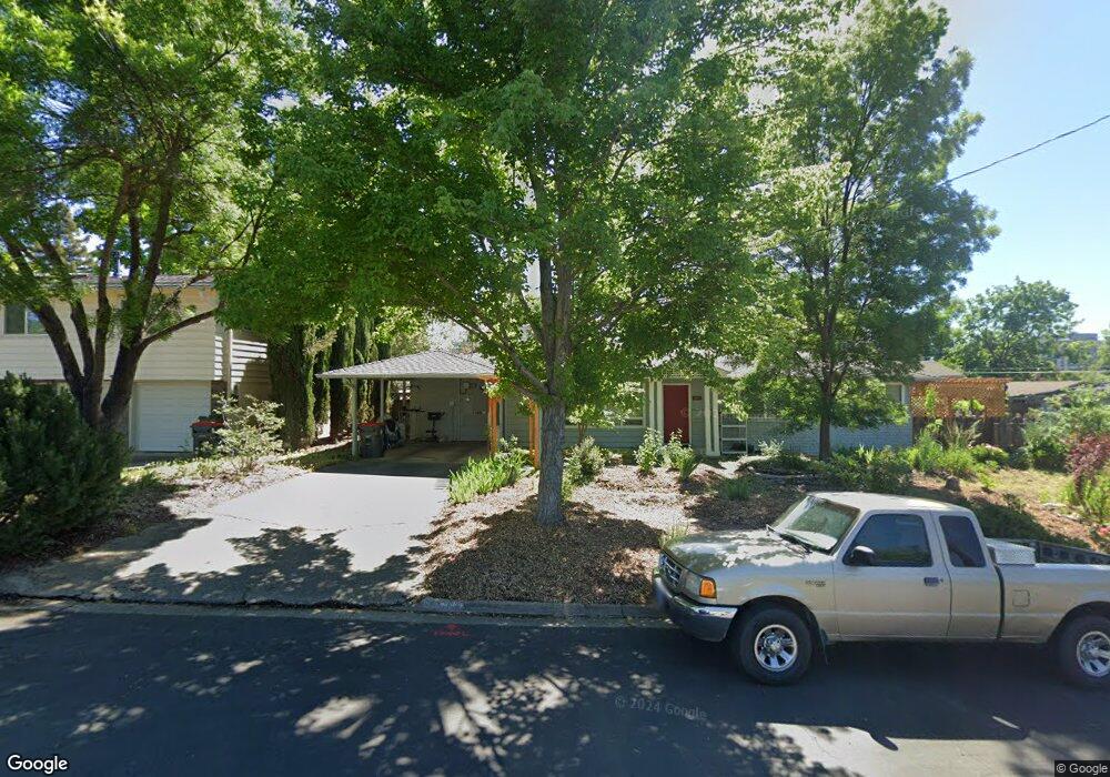
365 Cerritos Ave Medford, OR 97504
Estimated Value: $474,494 - $533,000
5
Beds
3
Baths
2,516
Sq Ft
$198/Sq Ft
Est. Value
About This Home
This home is located at 365 Cerritos Ave, Medford, OR 97504 and is currently estimated at $497,124, approximately $197 per square foot. 365 Cerritos Ave is a home located in Jackson County with nearby schools including Hoover Elementary School, Hedrick Middle School, and South Medford High School.
Ownership History
Date
Name
Owned For
Owner Type
Purchase Details
Closed on
Aug 7, 2013
Sold by
Patterson R H and Patterson Bonnie M
Bought by
Patterson R H and Patterson Bonnie M
Current Estimated Value
Home Financials for this Owner
Home Financials are based on the most recent Mortgage that was taken out on this home.
Original Mortgage
$79,250
Interest Rate
4.46%
Mortgage Type
New Conventional
Create a Home Valuation Report for This Property
The Home Valuation Report is an in-depth analysis detailing your home's value as well as a comparison with similar homes in the area
Home Values in the Area
Average Home Value in this Area
Purchase History
| Date | Buyer | Sale Price | Title Company |
|---|---|---|---|
| Patterson R H | -- | Title Source | |
| Patterson R H | -- | Title Source |
Source: Public Records
Mortgage History
| Date | Status | Borrower | Loan Amount |
|---|---|---|---|
| Closed | Patterson R H | $79,250 |
Source: Public Records
Tax History Compared to Growth
Tax History
| Year | Tax Paid | Tax Assessment Tax Assessment Total Assessment is a certain percentage of the fair market value that is determined by local assessors to be the total taxable value of land and additions on the property. | Land | Improvement |
|---|---|---|---|---|
| 2025 | $4,085 | $281,640 | $132,010 | $149,630 |
| 2024 | $4,085 | $273,440 | $128,170 | $145,270 |
| 2023 | $3,959 | $265,480 | $124,440 | $141,040 |
| 2022 | $3,863 | $265,480 | $124,440 | $141,040 |
| 2021 | $3,763 | $257,750 | $120,810 | $136,940 |
| 2020 | $3,684 | $250,250 | $117,290 | $132,960 |
| 2019 | $3,597 | $235,900 | $110,560 | $125,340 |
| 2018 | $3,504 | $229,030 | $107,350 | $121,680 |
| 2017 | $3,441 | $229,030 | $107,350 | $121,680 |
| 2016 | $3,464 | $215,890 | $101,190 | $114,700 |
| 2015 | $3,329 | $215,890 | $101,190 | $114,700 |
| 2014 | $3,271 | $203,510 | $95,380 | $108,130 |
Source: Public Records
Map
Nearby Homes
- 2556 Dellwood Ave
- 349 Tan Oak Dr
- 325 Sutter Ave
- 543 Hoover Park Dr
- 425 S Modoc Ave
- 2549 E Barnett Rd
- 101 S Modoc Ave
- 91 Black Oak Dr
- 1300 E Barnett Rd
- 3595 E Barnett Rd
- 2233 Oakwood Dr
- 305 S Groveland Ave
- 2741 Ruth Dr
- 826 Morrison Ave
- 755 Ellendale Dr
- 341 Ardmore Ave
- 3371 Calle Vista Dr
- 908 Black Oak Dr
- 9 S Groveland Ave
- 872 Morrison Ave
- 357 Cerritos Ave
- 364 Sutter Ave
- 349 Cerritos Ave
- 356 Sutter Ave
- 2562 Dellwood Ave
- 2568 Dellwood Ave
- 348 Sutter Ave
- 2574 Dellwood Ave
- 364 Cerritos Ave
- 341 Cerritos Ave
- 356 Cerritos Ave
- 340 Sutter Ave
- 348 Cerritos Ave
- 411 Bowmont Cir
- 402 Sutter Ave
- 2512 Dellwood Ave
- 424 Bowmont Cir
- 2532 Sandy Terrace
- 340 Cerritos Ave
- 2548 Sandy Terrace