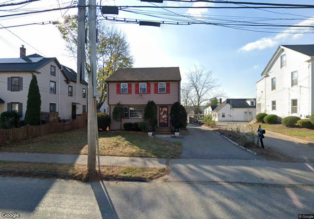
365 Hunnewell St Needham, MA 02494
Estimated Value: $878,666 - $1,102,000
3
Beds
3
Baths
1,200
Sq Ft
$816/Sq Ft
Est. Value
About This Home
This home is located at 365 Hunnewell St, Needham, MA 02494 and is currently estimated at $979,667, approximately $816 per square foot. 365 Hunnewell St is a home located in Norfolk County with nearby schools including Sunita L. Williams Elementary School, High Rock Middle School, and Pollard Middle School.
Ownership History
Date
Name
Owned For
Owner Type
Purchase Details
Closed on
Dec 3, 1996
Sold by
Grm Rlty Inc
Bought by
Woods Eric M
Current Estimated Value
Home Financials for this Owner
Home Financials are based on the most recent Mortgage that was taken out on this home.
Original Mortgage
$180,000
Outstanding Balance
$18,495
Interest Rate
7.82%
Mortgage Type
Purchase Money Mortgage
Estimated Equity
$961,172
Create a Home Valuation Report for This Property
The Home Valuation Report is an in-depth analysis detailing your home's value as well as a comparison with similar homes in the area
Home Values in the Area
Average Home Value in this Area
Purchase History
| Date | Buyer | Sale Price | Title Company |
|---|---|---|---|
| Woods Eric M | $225,000 | -- |
Source: Public Records
Mortgage History
| Date | Status | Borrower | Loan Amount |
|---|---|---|---|
| Open | Woods Eric M | $180,000 | |
| Previous Owner | Woods Eric M | $220,000 |
Source: Public Records
Tax History Compared to Growth
Tax History
| Year | Tax Paid | Tax Assessment Tax Assessment Total Assessment is a certain percentage of the fair market value that is determined by local assessors to be the total taxable value of land and additions on the property. | Land | Improvement |
|---|---|---|---|---|
| 2025 | $7,321 | $690,700 | $0 | $690,700 |
| 2024 | $6,311 | $504,100 | $0 | $504,100 |
| 2023 | $5,869 | $450,100 | $0 | $450,100 |
| 2022 | $5,233 | $391,400 | $0 | $391,400 |
| 2021 | $4,951 | $380,000 | $0 | $380,000 |
| 2020 | $4,656 | $372,800 | $0 | $372,800 |
| 2019 | $4,530 | $365,600 | $0 | $365,600 |
| 2018 | $4,229 | $356,000 | $0 | $356,000 |
| 2017 | $4,162 | $350,000 | $0 | $350,000 |
| 2016 | $3,966 | $343,700 | $0 | $343,700 |
| 2015 | $4,128 | $365,600 | $0 | $365,600 |
| 2014 | $4,172 | $358,400 | $0 | $358,400 |
Source: Public Records
Map
Nearby Homes
- 381 Hunnewell St Unit 381
- 379 Hunnewell St Unit 379
- 403 Hunnewell St Unit 403
- 400 Hunnewell St Unit 103
- 132 Hillside Ave
- 7 Avery St
- 35 Andrea Cir
- 263 Hunnewell St
- 28 Mercer Rd
- 609 Hunnewell St
- 36 Davenport Rd
- 77 High St
- 443 Central Ave
- 27 Concord St
- 28 Woodbine Cir
- 345 Central Ave
- 156 Woodbine Cir
- 547 Webster St
- 98 Hunnewell St
- 39 Donna Rd
- 363 Hunnewell St
- 369 Hunnewell St
- 369 Hunnewell St Unit 1
- 367 Hunnewell St
- 367 Hunnewell St
- 367 Hunnewell St Unit 367
- 367 Hunnewell St Unit 1
- 367 Hunnewell St Unit 2
- 373 Hunnewell St
- 375 Hunnewell St Unit 375
- 366 Hunnewell St
- 366 Hunnewell St Unit 366
- 351 Hunnewell St
- 349 Hunnewell St
- 349 Hunnewell St Unit 349
- 349 Hunnewell St Unit N
- 379 Hunnewell St Unit 1
- 379 Hunnewell St
- 379 - 381 Hunnewell St
- 381 Hunnewell St Unit 1