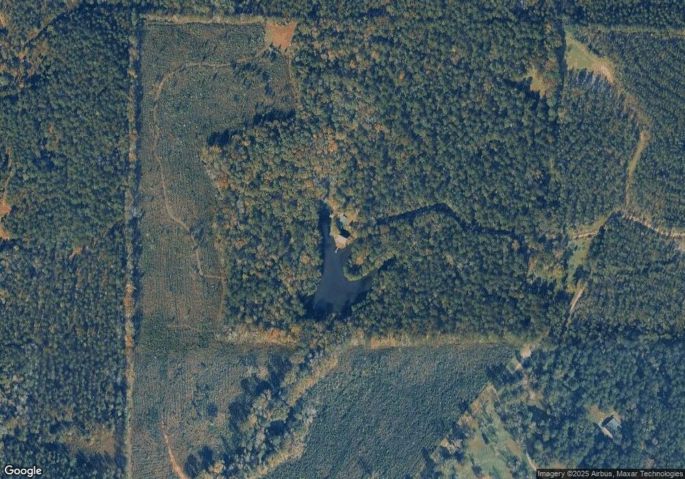
365 Hunnicutt Rd Forsyth, GA 31029
Estimated Value: $446,000 - $737,678
3
Beds
3
Baths
2,090
Sq Ft
$297/Sq Ft
Est. Value
About This Home
This home is located at 365 Hunnicutt Rd, Forsyth, GA 31029 and is currently estimated at $620,226, approximately $296 per square foot. 365 Hunnicutt Rd is a home with nearby schools including T.G. Scott Elementary School, Mary Persons High School, and Monroe Academy.
Ownership History
Date
Name
Owned For
Owner Type
Purchase Details
Closed on
Dec 31, 2016
Bought by
Cassidy James L and Cassidy Wendy M
Current Estimated Value
Purchase Details
Closed on
May 14, 2012
Sold by
Cassidy James L
Bought by
Coyote Creek Fam Farm Lllp
Purchase Details
Closed on
Jan 1, 1995
Sold by
Cassidy Beatrice V
Bought by
Cassidy James L
Purchase Details
Closed on
Aug 30, 1994
Sold by
Cassidy Beatrice V
Bought by
Cassidy James L
Purchase Details
Closed on
Dec 10, 1990
Sold by
Perkins George Washington & Bennie
Bought by
Cassidy James L and Cassidy Wendy M
Create a Home Valuation Report for This Property
The Home Valuation Report is an in-depth analysis detailing your home's value as well as a comparison with similar homes in the area
Home Values in the Area
Average Home Value in this Area
Purchase History
| Date | Buyer | Sale Price | Title Company |
|---|---|---|---|
| Cassidy James L | -- | -- | |
| Coyote Creek Fam Farm Lllp | -- | -- | |
| Cassidy James L | -- | -- | |
| Cassidy James L | -- | -- | |
| Cassidy James L | -- | -- | |
| Cassidy James L Jr Etal | $100,000 | -- |
Source: Public Records
Tax History Compared to Growth
Tax History
| Year | Tax Paid | Tax Assessment Tax Assessment Total Assessment is a certain percentage of the fair market value that is determined by local assessors to be the total taxable value of land and additions on the property. | Land | Improvement |
|---|---|---|---|---|
| 2024 | $2,628 | $201,276 | $122,960 | $78,316 |
| 2023 | $2,505 | $188,676 | $122,960 | $65,716 |
| 2022 | $2,135 | $188,676 | $122,960 | $65,716 |
| 2021 | $4,900 | $186,836 | $121,120 | $65,716 |
| 2020 | $2,129 | $186,836 | $121,120 | $65,716 |
| 2019 | $2,129 | $186,836 | $121,120 | $65,716 |
| 2018 | $2,119 | $186,836 | $121,120 | $65,716 |
| 2017 | $5,430 | $186,836 | $121,120 | $65,716 |
| 2016 | $2,318 | $186,836 | $121,120 | $65,716 |
| 2015 | $2,176 | $170,736 | $105,320 | $65,416 |
| 2014 | $2,087 | $170,736 | $105,320 | $65,416 |
Source: Public Records
Map
Nearby Homes
- Lot 15-A-2 Creekside Ln
- Lot 15-A-1 Creekside Ln
- Lot 26-A-2 Creekside Trail
- Lot 26-A-1 Creekside Trail
- Lot 27-A-1 Creekside Trail
- LOT 13 Creekside Ln
- 14 Creekside Ct
- 14 Creekside Ct
- 106 Creekside Ct
- 0 Montpelier Springs Rd Unit 13 M162038
- 0 Montpelier Springs Rd Unit 10 M162036
- TRACTS 1 & 5 Old Rumble Rd
- TRACTS 2-4 Old Rumble Rd
- 1395 Josey Rd
- 0 Rogers Church Rd Unit 10643854
- 1774 Maynards Mill Rd
- 1550 Charlie Benson Rd
- 122 Laurel Ridge
- 98 Adam Dr
- 88 Adam Dr
